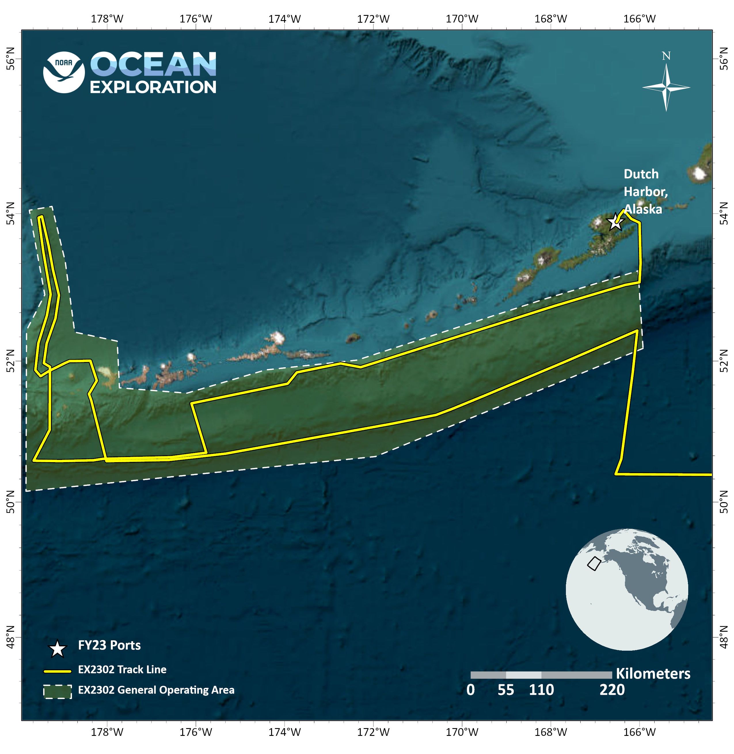
Seascape Alaska 1: Aleutians Deepwater Mapping
(EX2302)
Expedition Overview
Alaskan waters cover just over 1 million square nautical miles, yet are the least mapped relative to the waters of any other U.S. state. The little seafloor mapping data that does exist for Alaskan waters is sparse and predates modern mapping technology. In particular, the deepwater habitats of the Aleutian Islands and Aleutian Trench, where Seascape Alaska 1: Aleutians Deepwater Mapping operations will focus, remain predominantly unexplored.
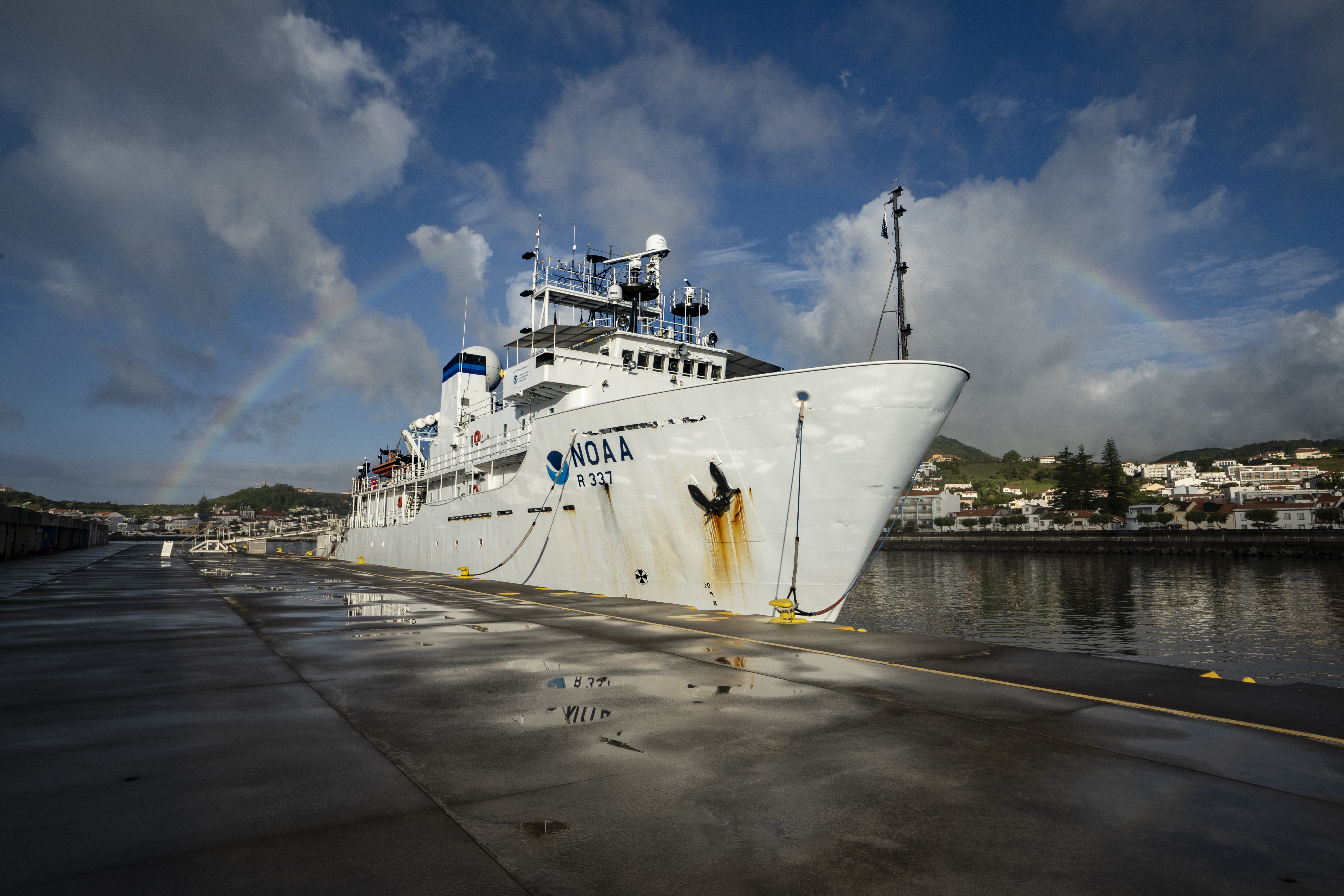
NOAA Ocean Exploration and partners will start the expedition with transit-mapping operations in U.S. waters and the high seas off the coasts of Washington and Alaska as the ship transitions from the contiguous United States to Alaska. Once in Alaskan waters, the majority of time will be spent conducting 24-hour-a-day exploratory mapping operations.
Additionally, in partnership with the Defense POW/MIA Accounting Agency, a limited number of dives will take place during the expedition using a small, human-portable Iver3 autonomous underwater vehicle (AUV) to attempt to locate a World War II-era B-25 bomber aircraft that was lost in 1944 with nine crew members aboard. During these dives, the team will use the AUV to collect side-scan sonar, magnetometer, and bathymetry data.
Data collected during the expedition will increase our understanding of deep-sea geologic features and processes and provide critical baseline information about the region’s little explored deep-ocean environment. The expedition supports Seascape Alaska; the National Strategy for Mapping, Exploring, and Characterizing the United States Exclusive Economic Zone; and Seabed 2030.
Additionally, in support of NOAA Ocean Exploration’s goal of training the next generation of ocean explorers, three explorers-in-training will participate in the expedition, assisting in the collection and processing of sonar data.

NOAA Ocean Exploration’s 2023 Seascape Alaska expeditions will contribute to the National Strategy for Exploring, Mapping, and Characterizing the United States Exclusive Economic Zone, Seabed 2030 and multipartner Seascape Alaska campaign.
Data collected during all expeditions will be available in NOAA’s public data archives within 90-120 days of its completion and will be accessible via the NOAA Ocean Exploration Data Atlas.
Published May 4, 2023