From September 14 to October 10, 2024, NOAA Ocean Exploration and partners will conduct the second of two exploratory mapping expeditions on NOAA Ship Okeanos Explorer to map waters deeper than 200 meters (656 feet) in and around the Johnston Atoll Unit of the Pacific Remote Islands Marine National Monument. Collected data will contribute to Beyond the Blue: Illuminating the Pacific, a multiyear, collaborative science and research campaign aimed at bringing together partners to raise collective knowledge, understanding, and appreciation of waters in the Pacific Islands region through coastal and ocean mapping, exploration, and characterization. There will not be any remotely operated vehicle dives during this expedition.
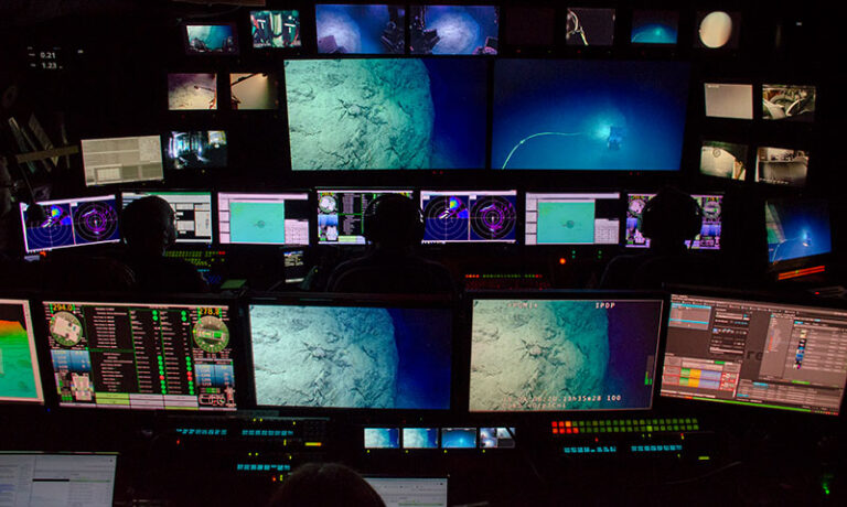
NOAA Ship Okeanos Explorer is the only federal vessel dedicated to exploring our largely unknown ocean for the purpose of discovery and the advancement of knowledge about the deep ocean.
Read moreA popular and trusted ocean science community resource used (and contributed to) by ocean scientists around the world to help identify animals seen during deep-ocean exploration.
Read moreFrom scientists and students to members of the general public, learn how to get involved with expeditions led by NOAA Ocean Exploration on NOAA Ship Okeanos Explorer.
Read moreFollow expeditions on NOAA Ship Okeanos Explorer while underway or retrace past expeditions. For each expedition, you'll find content ranging from stories to images and videos.
Read more