Date: June 26, 2019
Through the NOAA Office of Ocean Exploration and Research (OER), NOAA Ship Okeanos Explorer has been mapping in the Atlantic Ocean since 2010, and specifically through two campaigns: Atlantic Canyons Underseas Mapping (ACUMEN), from 2012 - 2013, and the Atlantic Seafloor Partnership for Integrated Research and Exploration (ASPIRE), from 2017 to present. The Atlantic Ocean has diverse and unique geological features, which can be identified through high-resolution mapping data. Particularly, the Blake Plateau Region is an area where systematic mapping has changed our perspective of what we know about this region. Since 2010, OER has mapped over 65,000 square kilometers (25,097 square miles) of this region, including the mapping operations that took place on the first leg of the Windows to the Deep 2019 expedition. This mapping area is greater than the size of West Virginia!

Image of all of NOAA Ship Okeanos Explorer mapping data collected in the Blake Plateau and Ridge region by OER since 2010 and prior to the current expedition. Image courtesy of the NOAA Office of Ocean Exploration and Research, Windows to the Deep 2019. Download larger version (jpg, 3.2 MB).
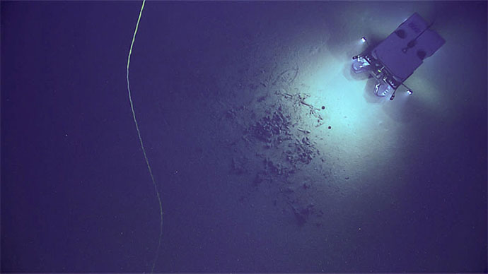
Though we didn’t conduct a remotely operated vehicle dive today, the mission team was still hard at work collecting valuable mapping data and planning for future dives. Although OER has mapped a large area of the southeastern United States and Blake Plateau, gaps in the mapping data remain throughout this region and are some of the largest gaps on the entire U.S. East Coast. OER is committed to filling in the gaps in order to increase our understanding of America’s marine ecosystems and submerged lands. The mapping data collected by OER also contributes to SeaBed 2030, an international effort to map all of the world’s ocean basins by the year 2030.
 and Alexis Weinnig (right) in the control room on NOAA Ship Okeanos Explorer reviewing the footage during a remotely operated vehicle dive of Windows to the Deep 2019 expedition.")
Expedition science leads Amy Wagner (left) and Alexis Weinnig (right) in the control room on NOAA Ship Okeanos Explorer reviewing the footage during a remotely operated vehicle dive of Windows to the Deep 2019 expedition. Image courtesy of the NOAA Office of Ocean Exploration and Research, Windows to the Deep 2019. Download larger version (jpg, 6.8 MB).

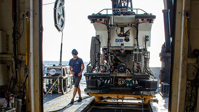
Remotely operated vehicle pilots leading a dive earlier this week during the Windows to the Deep 2019 expedition. Image courtesy of the NOAA Office of Ocean Exploration and Research, Windows to the Deep 2019. Download larger version (jpg, 29.5 MB).
Tomorrow, the science team will be diving in the Stetson Miami Terrace Deep Water Coral Habitat Area of Particular Concern to ground truth a water column sonar anomaly and explore for methane seeps. Tune in to tomorrow’s dive to see if we find any seeps.