by Michael White, NOAA Office of Ocean Exploration and Research

Priority operating areas for Leg 1 of the expedition, in yellow. Image courtesy of the NOAA Office of Ocean Exploration and Research, Windows to the Deep 2019. Download image (jpg, 7.4 MB).
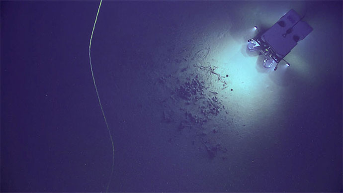
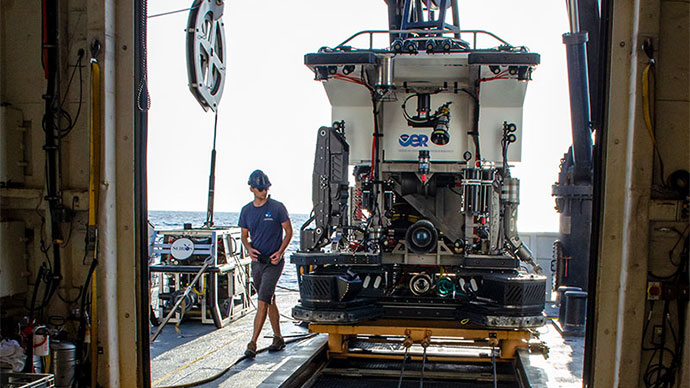
The first leg of the Windows to the Deep 2019 expedition, taking place from May 30 to June 14, will include 24-hour per day mapping operations on NOAA Ship Okeanos Explorer focused on high-priority areas identified by the South Atlantic Fishery Management Council, NOAA, Bureau of Ocean Energy Management, and the science community. Departing from Key West, Florida, and arriving in Cape Canaveral, Florida, this expedition leg will involve the use of the ship’s deepwater mapping systems (Kongsberg EM302 multibeam sonar, Simrad EK60 and EK80 split-beam fisheries sonars, Knudsen 3260 chirp sub-bottom profiler sonar, and Teledyne Acoustic Doppler Current Profiler) to collect baseline seafloor and water column data.
Mapping operations will take place, but are not limited to unexplored areas of the Blake Plateau, Blake Ridge, Blake Escarpment, and an area between the United States and Bahamas. Offshore operations will take place east of Florida, Georgia, and South Carolina. These efforts will also help inform remotely operated vehicle dives for the second leg of this expedition. Data gathered on this cruise will be publically available 90 days after cruise end.
The onboard team for this leg will include participants from the NOAA Office of Ocean Exploration and Research's Explorer-in-Training (EiT) program and other NOAA-supported program designed to provide experiences of life at sea on an exploration vessel and training in the acquisition and processing of deep-water water column and seafloor mapping data:
In addition to the above personnel, a team of engineers from the Global Foundation for Ocean Exploration will support data management and network and ship-to-shore communications. At-sea mapping operations will be led by personnel from the University Corporation for Atmospheric Research, in partnership with OER.
This is the sixth NOAA Ship Okeanos Explorer expedition that will contribute to NOAA’s Atlantic Seafloor Partnership for Integrated Research and Exploration (ASPIRE), a major multi-year, multi-national collaborative field program focused on raising collective knowledge and understanding of the North Atlantic Ocean. Building on the successes of the 2012-2013 Atlantic Canyons Undersea Mapping Expeditions (ACUMEN), the ASPIRE initiative will broaden its geographic focus to include more of the U.S. Atlantic and the high seas and the scope of partnerships to include federal agencies, such as the Bureau of Ocean Energy Management and the U.S. Geological Survey, as well as international partners from the European Union and Canada.