Campaign to Address Pacific monument Science, Technology, and Ocean NEeds (CAPSTONE) (EX1504-EX1708)
2015 - 2017
In July 2015, NOAA and partners initiated CAPSTONE – the "Campaign to Address Pacific monument Science, Technology, and Ocean NEeds." CAPSTONE was a major multi-year foundational science effort focused on deepwater areas of U.S. marine protected areas in the central and western Pacific.
With expeditions on NOAA Ship Okeanos Explorer conducted in 2015, 2016, and 2017, CAPSTONE resulted in timely, actionable information to support decision-making based on reliable and authoritative science. It also served as an opportunity for the nation to highlight the uniqueness and importance of these national symbols of ocean conservation.
Download a summary fact sheet (3.26 MB, pdf), a summary map (4.08 MB, jpg), and a summary infographic (1.51 MB, pdf) highlighting all CAPSTONE efforts.
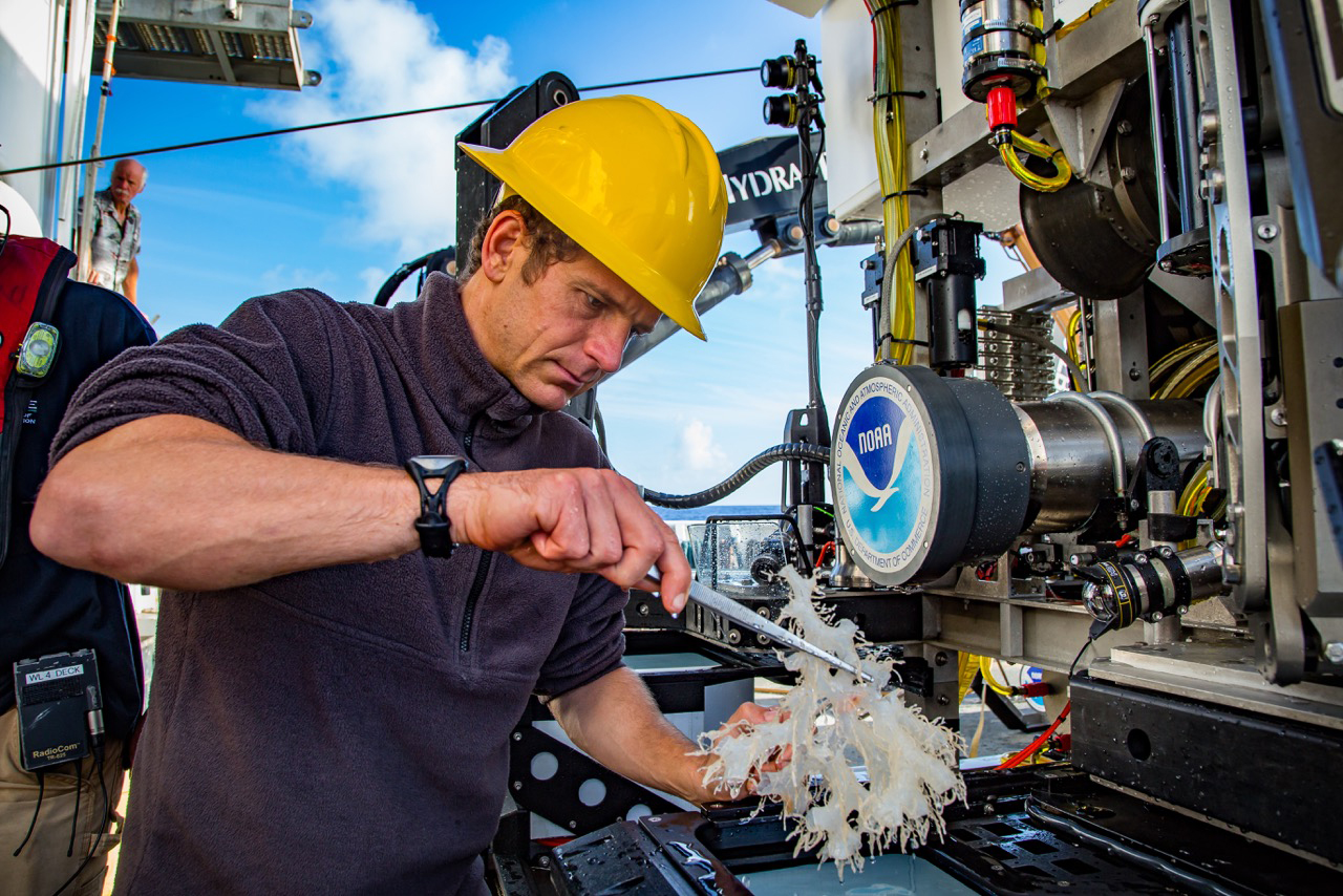
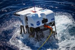
Eighteen total expeditions, some with multiple legs, were completed on Okeanos Explorer in U.S. marine national monuments and national marine sanctuaries in the central and western Pacific in support of CAPSTONE. These telepresence-enabled expeditions included remotely operated vehicle (ROV) dives and multibeam sonar mapping operations. Expedition dates, numbers and names, operational modes, and ports of call were as follows:
July 10-September 30, 2015: EX1504: Hohonu Moana: Exploring the Deep Waters Off Hawai’i (four legs) / Honolulu, Hawaiʻi, to Honolulu, Hawaiʻi
February 12-February 17, 2016: EX1601-EX1602: Mission System Shakedown 2016 / San Francisco, California, to Honolulu, Hawaiʻi
February 25-March 18, 2016: EX1603: 2016 Hohonu Moana: Exploring Deep Waters off Hawaiʻi / Honolulu, Hawaiʻi, to Kwajalein Atoll, Marshall Islands
March 23-April 18, 2016: EX1604: Mapping in the Pacific Remote Islands Marine National Monument, now known as Pacific Islands Heritage Marine National Monument / Kwajalein Atoll, Marshall Islands to Guam
April 20-July 10, 2016: EX1605: Deepwater Exploration of the Marianas (three legs) / Santa Rita, Guam to Santa Rita, Guam
July 27-August 19, 2016: EX1606: Deepwater Wonders of Wake: Exploring the Pacific Remote Islands Marine National Monument, now known as Pacific Islands Heritage Marine National Monument / Apra Harbor, Guam, to Kwajalein Atoll, Marshall Islands
August 25-September 11, 2016: EX1607: Telepresence Seafloor Mapping in the Pacific Remote Islands Marine National Monument, now known as Pacific Islands Heritage Marine National Monument - Wake Island Unit / Kwajalein Atoll, Marshall Islands, to Honolulu, Hawaiʻi
December 1-December 16, 2016: EX1608 - EX1609: Shakedown, Calibration, and Testing in the Main Hawaiian Islands / Honolulu, Hawaiʻi, to Honolulu, Hawaiʻi
January 20-February 11, 2017: EX1701: CAPSTONE Telepresence Mapping in Pacific Marine Protected Areas / Honolulu, Hawaiʻi, to Pago Pago, American Samoa
February 16-March 2, 2017: EX1702: 2017 American Samoa Expedition: Suesuega o le Moana o Amerika Samoa / Pago Pago, American Samoa, to Apia, Samoa
March 7-29, 2017: EX1703: Discovering the Deep: Exploring Remote Pacific Marine Protected Areas / Apia, Samoa, to Apia, Samoa
April 4-21, 2017: EX1704: Telepresence Mapping in American Samoa and the Cook Islands / Apia, Samoa, to Pago Pago, American Samoa
April 27-May 19, 2017: EX1705: Mountains in the Deep: Exploring the Central Pacific Basin / Pago Pago, American Samoa, to Honolulu, Hawaiʻi
July 7-August 2, 2017: EX1706: 2017 Laulima O Ka Moana: Exploring Deep Monument Waters Around Johnston Atoll / Honolulu, Hawaiʻi, to Honolulu, Hawaiʻi
August 8-31, 2017: EX1707: Musicians Seamounts Telepresence Mapping / Honolulu, Hawaiʻi, to Honolulu, Hawaiʻi
September 6-30, 2017: EX1708: Deep-Sea Symphony: Exploring the Musicians Seamounts / Honolulu, Hawaiʻi, to Honolulu, Hawaiʻi
Why Explore Pacific Marine Protected Areas?
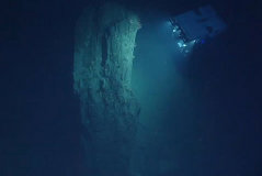
The central and western Pacific marine national monuments and national marine sanctuaries encompass over 742,000 square miles of emergent land, coral reef, ocean, and maritime heritage resources. They contain some of the last relatively pristine marine ecosystems on the planet and harbor numerous protected species, as well as undiscovered shipwrecks and cultural landscapes sacred to the indigenous peoples of the Pacific.
Their designation is unprecedented in terms of geographic scope, ecological value, and national symbolism for ocean conservation. However, their remoteness creates substantial challenges. Most deep-water areas remain poorly known and are of high interest to federal and state agencies with research and management responsibilities.
CAPSTONE Science Themes
CAPSTONE was intended to provide a foundation of publicly accessible baseline data and information from U.S. marine protected areas in the central and western Pacific. Specific science themes of CAPSTONE included:
- Acquire data to support priority monument and sanctuary science and management needs;
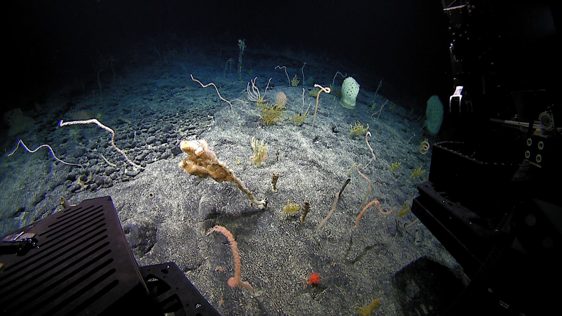
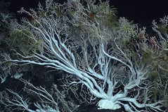
- Identify and map vulnerable marine habitats – particularly high-density deep-sea coral and sponge communities;
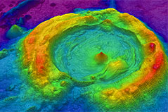
- Characterize seamounts in and around the Prime Crust Zone (PCZ). The PCZ is the area of the Pacific with the highest concentration of commercially valuable deep-sea minerals;
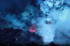
- Investigate the geologic history of Pacific seamounts, including potential relevance to plate tectonics and subduction zone biology and geology; and
- Increase understanding of deep-sea biogeographic patterns across the Central and Western Pacific.
Education Themes


Media Contact
Emily Crum
Communications Specialist
NOAA Ocean Exploration
ocean-explore-comms@noaa.gov
Note that for many of the CAPSTONE expeditions, specific media resources pages are available in association with an individual expedition web presence.
Data collected during all expeditions are accessible via the NOAA Ocean Exploration Data Atlas.
Published August 31, 2015
Last updated January 7, 2025