


2026 Mapping Shakedown
Completed
Overview
The 2026 Mapping Shakedown on NOAA Ship Okeanos Explorer was a success!
When the ship comes out of drydock, we’re always a little uncertain about how things will work. This year, the uncertainty was particularly high given the new systems and new team members. Two great reasons for a shakedown.

Expedition coordinators in training Logan Kline, Gretchen Spencer, and Philip Hoffman (left to right) were all smiles as NOAA Ship Okeanos Explorer departed Pearl Harbor for the 2026 Mapping Shakedown. Image courtesy of NOAA Ocean Exploration, 2026 Mapping Shakedown. Download largest version (jpg, 986 KB).
From April 29 to May 6, 2026, NOAA Ocean Exploration and partners successfully completed most of the shakedown’s major tasks. First and foremost, this included calibrating the ship’s positioning system and sonar systems: the multibeam and split-beam systems used to map the seafloor and water column, respectively, and the acoustic Doppler current profilers (ADCPs), which are used to measure the speed and direction of ocean currents. They also conducted a speed noise test to see how ship noise affects the sonars and extinction tests on the multibeam system and ADCPs to understand their operational constraints (e.g., at what depth do they lose their signals). Finally, the team conducted reference surveys over already well-mapped areas of seafloor at 3,000 and 5,000 meters (1.9 miles and 3.1 miles) to confirm the accuracy of the positioning and multibeam systems.
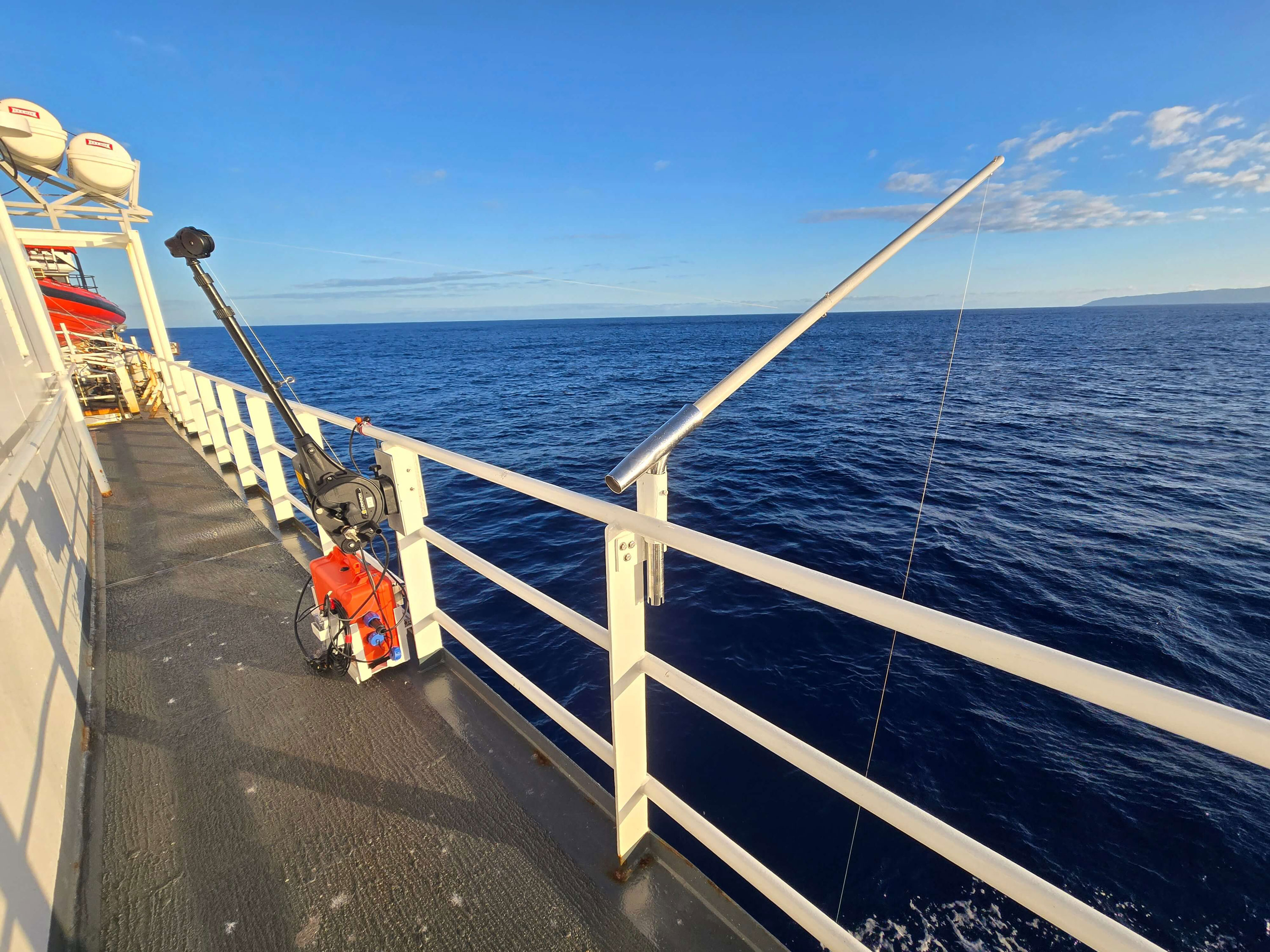

During the 2026 Mapping Shakedown, expedition team members calibrated the split-beam sonars (over 18 hours!) to ensure the data they collect during future exploration are as accurate as possible. For each of the split beam sonars, this calibration is done by suspending a small tungsten-carbide sphere 15-20 meters (49-66 feet) directly beneath the sonar (mounted on the underside of the ship). The ball is then “pinged” at least 100 times by the sonar, and the results are compared to the known “target strength” of the ball (determined by its size and density) with the goal of matching that strength. If they don’t match, the sonar is adjusted until they do. Images courtesy of NOAA Ocean Exploration, 2026 Mapping Shakedown. Download largest version on the left (jpg, 1.13 MB). Download largest version on the right (jpg, 913 KB).
Largely as a result of these calibrations and tests, they mapped 3,603 square kilometers (1,391 square miles) of seafloor during this expedition.


Features
Features provide a deeper dive into expedition-related topics.

Multimedia
The images from this expedition add context and help bring the expedition to life. Click on a preview image below to view the full image and get more information.
Education
Ocean Science for Educators provides the best of what the NOAA Ocean Exploration website has to offer to support educators in the classroom. Each theme page includes lessons, fact sheets, ocean facts, exploration notes, multimedia, and related past expeditions and projects. Below are the top education themes related to this expedition.
Team
Each team member’s path to this expedition is unique. Read their bios to find out what makes them ocean explorers.


Data
Data collected during expeditions on Okeanos Explorer are submitted to NOAA’s public data archives within 120 days of completion. Once archived, they are accessible via the NOAA Ocean Exploration Data Atlas.
Data from the 2026 Mapping Shakedown contribute to the National Strategy for Exploring, Mapping, and Characterizing the United States Exclusive Economic Zone and Seabed 2030.
Resources & Contacts
- Emily Crum
Communication Specialist
NOAA Ocean Exploration
ocean-explore-comms@noaa.gov - Keeley Belva
Public Affairs Officer
NOAA Office of Marine and Aviation Operation
keeley.belva@noaa.gov