2022 ROV and Mapping Shakedown
Expedition Overview
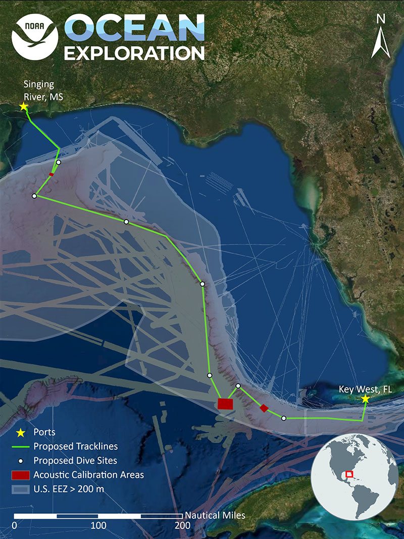
In preparation for our 2022 field season, NOAA Ocean Exploration will conduct operations to “shake down” the mission systems on NOAA Ship Okeanos Explorer in the Gulf of Mexico and the western Straits of Florida February 23-March 3, 2022. We conduct shakedown expeditions annually to ensure the remotely operated vehicle (ROV), mapping, telepresence, positioning, and other important systems are working properly. Shakedowns simulate our typical at-sea operations, enabling us to identify and correct problems, test new systems and equipment, and train new staff, and are critical to ensuring quality data collection and successful expeditions.

Download largest version (jpg, 3.1 MB).

Download largest version (jpg, 24.5 MB).
During the day, we will conduct rigorous tests of ROVs Deep Discoverer and Seirios to make sure they are ready to be put to work. This includes deploying them for a series of engineering test dives at varying depths to assess and troubleshoot their mechanical, electrical, and software systems. We will also continue to refine our process for water column exploration and imaging and, as engineering objectives allow, visually survey seafloor habitats.
At night, we will turn our attention to our multibeam mapping system. We have equipped Okeanos Explorer with acoustic sonars that collect high-resolution mapping data of the seafloor, sub-bottom, and water column. During the shakedown, we will calibrate the multibeam sonar and test and assess its readiness as well as the readiness of the associated equipment. If time allows following successful calibration and testing of the multibeam mapping system, we will conduct overnight mapping operations focused on collecting acoustic data to fill high-resolution mapping data gaps in the region.
Relevant Expedition: 2022 ROV and Mapping Shakedown
