Date: November 4, 2019
Location: Lat: 30.402633°, Long: -79.27855°
Dive Depth Range: 817 - 835 meters (2,680 - 2,740 feet)
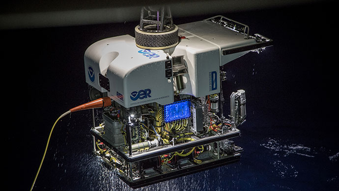
Access Dive Summary and ROV Data

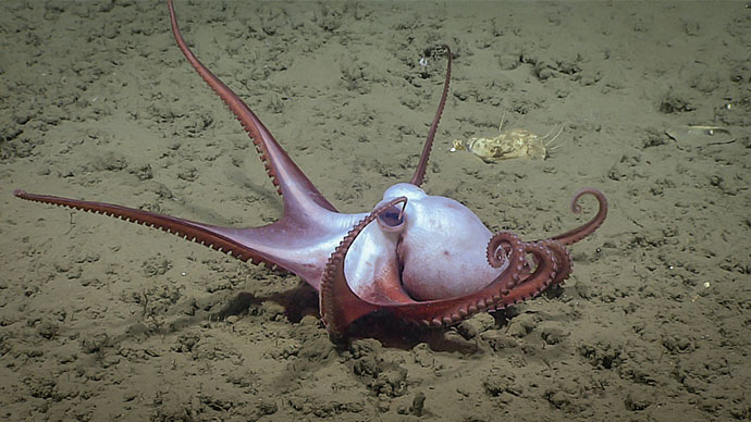
This octopus greeted us when we arrived at the seafloor on Dive 04 of the 2019 Southeastern U.S. Deep-sea Exploration. Image courtesy of the NOAA Office of Ocean Exploration and Research, 2019 Southeastern U.S. Deep-sea Exploration. Download larger version (jpg, 1.6 MB).
Our fourth dive of the 2019 Southeastern U.S. Deep-sea Exploration took place off the coast of Florida in the Stetson-Miami Terrace Deepwater Coral Habitat of Particular Concern (HAPC) in the Blake Plateau region. This site was targeted based on mapping data collected during the first part of this expedition, which suggested the potential for suitable habitat for deep-sea corals and sponges. As part of the HAPC, this site is a priority for resource managers.
During today’s dive, we visited three mounds. Most of the seafloor was covered in coral rubble, which was more degraded at the base of the mounds than at the summits, where some of the dead coral framework structure was more intact. Between the mounds, we also saw some large patches of sand in the form of ripples, which provide information about the currents in those locations.

Bamboo corals like this one spotted during Dive 04 of the 2019 Southeastern U.S. Deep-sea Exploration are colonial, which means that each polyp is a separate animal. Each polyp has eight tentacles, which is characteristic of an octocoral. Image courtesy of the NOAA Office of Ocean Exploration and Research, 2019 Southeastern U.S. Deep-sea Exploration. Download larger version (jpg, 1.2 MB).
. It was seen on a black coral during Dive 04 of the 2019 Southeastern U.S. Deep-sea Exploration.")
The purplish color of this feather star is distinctive of its species (Zenomentra columnaris). It was seen on a black coral during Dive 04 of the 2019 Southeastern U.S. Deep-sea Exploration. Image courtesy of the NOAA Office of Ocean Exploration and Research, 2019 Southeastern U.S. Deep-sea Exploration. Download larger version (jpg, 1.1 MB).
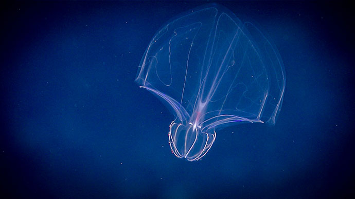
While we saw a few fish and jellyfish around these sand patches, most of the marine life we observed during the dive was in the rubble fields and on the exposed hardbottom (carbonate slabs).
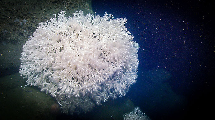
Some of the animals we encountered included corals (both large and small, including some standing dead corals), an octopus, two arrowhead dogfish, a ray, feather stars, chimaeras, a cusk-eel, a comb jelly, sea stars, pancake urchins, and lots of different kinds of sponges.
The dragonfish captured in this video is Melanostomias melanops. To attract its prey, it has parallel rows of light producing organs called photophores along its body and a "fishing lure" dangling from its chin that also produces light. These fish are found throughout the North Atlantic Ocean at depths ranging from 50 to 1,500 meters (164 and 4,921 feet). Large adults in this family (Stomiidae) often spend time very close to the seafloor (as seen here), but most other individuals can be found in the midwater water column. Video courtesy of the NOAA Office of Ocean Exploration and Research, 2019 Southeastern U.S. Deep-sea Exploration. Download larger version (mp4, 48.7 MB).
We collected six samples during today’s dive, including: a Venus’ flower basket or “wedding” glass sponge that may be a new species or represent a range expansion for a known Asian species; a coral that may not have been collected before (Eunicella cf. modesta); a bushy, yellow coral that is either a new species or a new color of a known species (Enallopsammia cf. profunda); and a demosponge that we called a “Swiss cheese” sponge due to its appearance.

Seemingly unbothered by our presence, this arrowhead dogfish, a shark, was observed during Dive 04 of the 2019 Southeastern U.S. Deep-sea Exploration. Image courtesy of the NOAA Office of Ocean Exploration and Research, 2019 Southeastern U.S. Deep-sea Exploration. Download larger version (jpg, 1.3 MB).
, which was unfamiliar to our scientists on ship and shore, was successfully collected during Dive 04 of the 2019 Southeastern U.S. Deep-sea Exploration for additional research.")
Referred to by our science leads as a “Swiss cheese” sponge, this amphitheater-shaped demosponge (on left), which was unfamiliar to our scientists on ship and shore, was successfully collected during Dive 04 of the 2019 Southeastern U.S. Deep-sea Exploration for additional research. Image courtesy of the NOAA Office of Ocean Exploration and Research, 2019 Southeastern U.S. Deep-sea Exploration. Download larger version (jpg, 1.0 MB).

Location of Dive 04 of the 2019 Southeastern U.S. Deep-sea Exploration expedition on November 4, 2019. Download larger version (jpg, 2.0 MB).

The remotely operated vehicle track for Dive 04 of the 2019 Southeastern U.S. Deep-sea Exploration expedition, shown as an orange line with a white curtain. This mapping data was collected during the first part of the expedition. Legend is water depth in meters. Download larger version (jpg, 4.6 MB).