Date: July 4, 2019
Location: Lat: 34.580592°, Lon: -74.687911°
Dive Depth Range: 3,265- 3,490 meters (10,712-11,450 feet)
Access Dive Summary and ROV Data

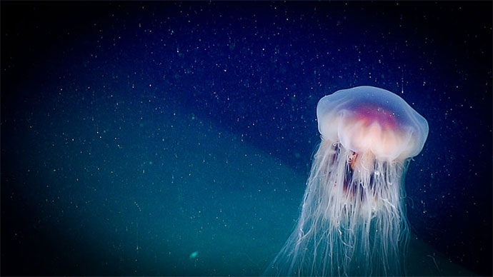
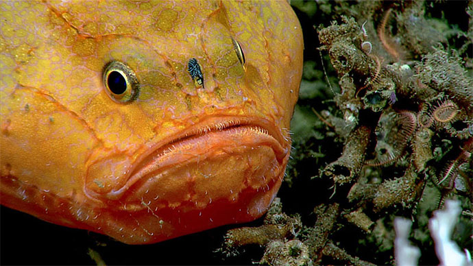
The Windows to the Deep 2019 team wishes you a happy 4th of July! Image courtesy of Art Howard, GFOE, Windows to the Deep 2019. Download larger version (jpg, 4.9 MB).
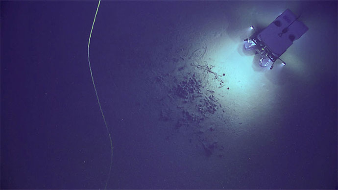
We reached new depths for Windows to the Deep 2019 today, with this expedition’s deepest planned dive yet: Deep Pamlico Canyon, a site nearly 3,500 meters (11,483 feet) below the surface of the ocean, about 105 miles off the coast of North Carolina. We anticipated that the complex geology in these canyons may provide suitable habitat for deep-sea coral, sponges, and associated fauna.
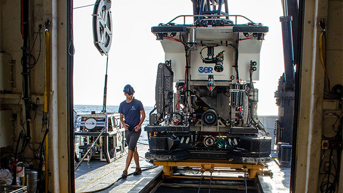
When we reached the seafloor at about 3,500 meters (11,483 feet), we found a very soft, silty sediment on the bottom, and noted that we were within an area of strong currents. During our descent, we had noted that this high turbidity layer had begun at around 3,150 meters (10,335 feet) of depth. The high turbidity in the water meant that our remotely operated vehicle (ROV) operations team could not see the tether that connects ROV Deep Discoverer and her sister vehicle, Seirios. Our team decided to try to reposition the ROVs above the turbidity layer and proceed with the dive from there.
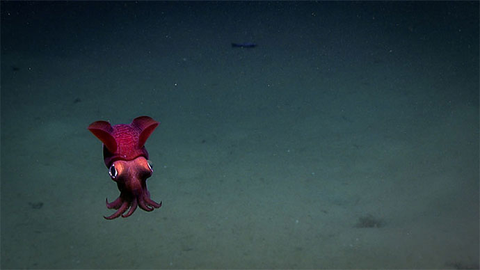
Throughout Dive 12, on July 4, we were accompanied by several rather large Abyssal grenadier fish (Coryphaenoides armatus), who were likely attracted by the disturbance of the remotely operated vehicle and came along to investigate. Video courtesy of NOAA Ocean Exploration, Windows to the Deep 2019. Download largest version (mp4, 55.1 MB).
The ROV team worked to reposition both the ship and the ROVs at a high point of the canyon feature we were interested in, at around 3,200 meters (10,499). There was less turbidity there, but still a significant amount of marine snow in the water column. We spent the remainder of the dive working westward across the relatively flat top of the feature and observed brittle stars; holothurians; hermit crabs; a few species of sea pens; a Radicipes octocoral; and a number of Corypheanoides armatus or Abyssal grenadier, a type of fish that is relatively common throughout the ocean at these depths, on a relatively sedimented bottom.
 seen on the soft sediment of the seafloor.")
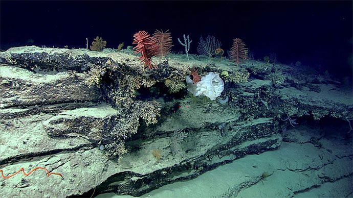
A sea pen (Pennatulacea) seen on the soft sediment of the seafloor. Image courtesy of the NOAA Office of Ocean Exploration and Research, Windows to the Deep 2019. Download larger version (jpg, 1.2 MB).

Location of Dive 12 on July 4, 2019. Download larger version (jpg, 2.1 MB).

The original intended remotely operated vehicle track for Dive 12, shown as an orange line with a white curtain. Scale is water depth in meters. Download larger version (jpg, 3.2 MB).