by Clayton Pollock, Biologist, National Park Service

Shallow coral at Buck Island Reef National Monument. Image courtesy of Stephanie Roach, The Ocean Agency. Download larger version (jpg, 1.2 MB).
Marine protected areas (MPAs) vary in form, purpose, and management methods. MPAs are commonly established to protect productive and biodiverse ecosystems such as coral reefs and mangrove forests, preserve cultural resources such as shipwrecks and archaeological sites, or to sustain fisheries production.
Marine sanctuaries, marine parks, national parks, national marine monuments, estuarine research reserves, marine wildlife refuges, natural reserves, and seasonal closures are all different types of MPAs. Each of these designations vary widely in purpose, legal authorities, management agency, administrative approaches, level of protection, and restrictions of human use. However, although MPAs vary widely, they generally function to conserve, manage, and protect natural and cultural resources within marine environments.

Map showing the location of MPAs around Puerto Rico and the U.S. Virgin Islands. Image courtesy of the NOAA Office of Exploration and Research. Download larger version (jpg, 1.7 MB).
The U.S. Caribbean has a diverse network of MPAs. These MPAs protect and provide access to desirable beaches and landscapes, bolster the local economy through eco- and cultural tourism, strive for sustainable fisheries, and provide resilience against impacts from major events such as hurricanes. Several, such as Buck Island Reef National Monument, St. Croix East End Marine Park, and Isla de Mona Natural Reserve have been established specifically to protect and conserve unique natural areas and the rare marine life that are dependent upon them.
Other MPAs, including Arrecifes de Tourmaline Natural Reserve, Virgin Islands Coral Reef National Monument, and a variety of other seasonal closures assist natural resource managers and the community in protecting and sustaining important commercial fisheries. Furthermore, MPAs may also serve to conserve and protect biodiverse ecosystems, as well as protect cultural and archaeological resources, such as Cabezas de San Juan Natural Reserve .
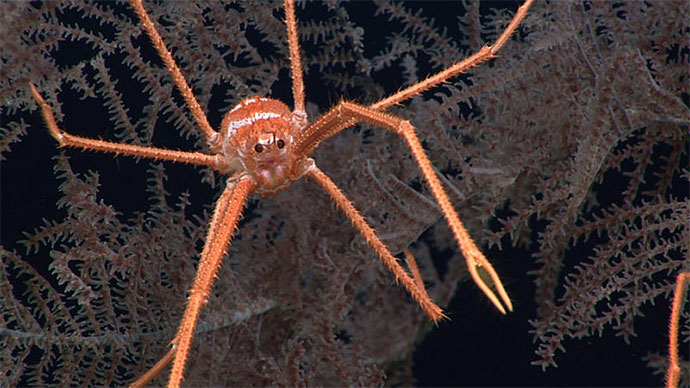
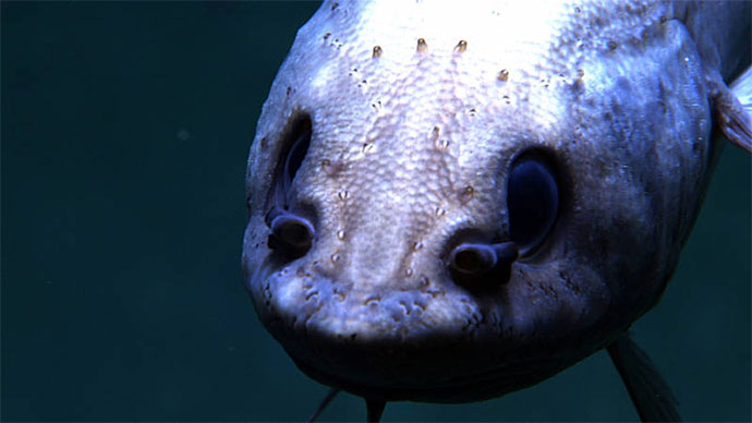
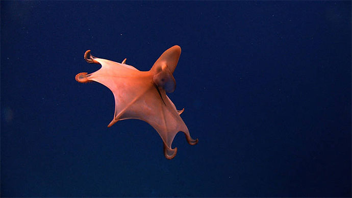
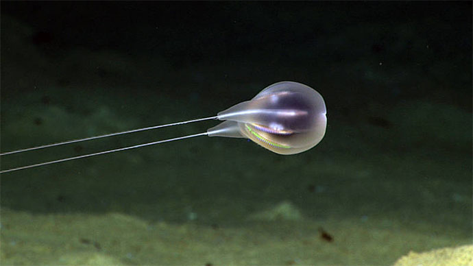
The condition of natural and cultural resources within MPAs is often dynamic and for some remote and inaccessible habitats, poorly understood. In particular, deep-sea extensions of MPAs are often very difficult to access and monitor and thus largely unexplored. While these deeper areas of MPAs are poorly known, they typically contain particularly fragile marine ecosystems that are inhabited by slow-growing and long-lived species, like deep-sea coral and fish communities.
 located within the Lang Bank seasonal closure off the eastern shelf edge of St. Croix, USVI. Image courtesy of Richard Nemeth, University of the Virgin Islands.")
Spawning aggregation of Red Hind (Epinephelus guttatus) located within the Lang Bank seasonal closure off the eastern shelf edge of St. Croix, U.S. Virgin Islands. Image courtesy of Richard Nemeth, University of the Virgin Islands. Download larger version (jpg, 873 KB).
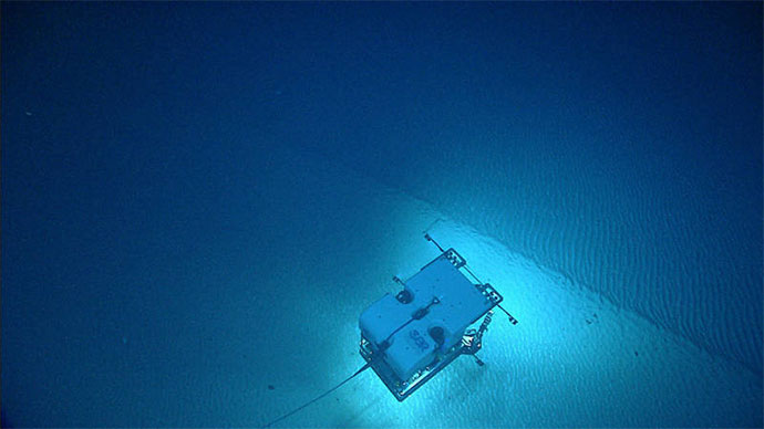
In an effort to better understand these vulnerable deep-sea communities, as well as support the needs of the resource management and scientific community of the region, the Oceano Profundo 2018 expedition will explore several of these deepwater areas within MPAs of Puerto Rico and the U.S. Virgin Islands. Specifically, the expedition will include several deepwater MPA explorations using remotely operated vehicles and mapping operations, and thereby collect critical baseline information about these poorly understood areas. Furthermore, the expedition will include remote participation via telepresence technology, bringing these poorly understood places to resource managers, scientists, and the general public.
 located at El Seco bank off the western coast of Puerto Rico. Image courtesy of Richard Nemeth, University of the Virgin Islands.")
Spawning aggregation of White Margates (Haemulon album) located at El Seco bank off the western coast of Puerto Rico. Image courtesy of Richard Nemeth, University of the Virgin Islands. Download larger version (jpg, 536 KB).
 located at the Grammanik Bank off the southern coast of St. Thomas, U.S Virgin Islands. Image courtesy of Richard Nemeth, University of the Virgin Islands.")
Spawning aggregation of yellowfin grouper (Mycteroperca venenosa) located at the Grammanik Bank off the southern coast of St. Thomas, U.S Virgin Islands. Image courtesy of Richard Nemeth, University of the Virgin Islands. Download larger version (jpg, 898 KB).