by Heidi Hirsh, Natural Resources Management Specialist, NOAA Fisheries Service, Marine National Monuments Program

Sea star at Johnston Atoll. Image courtesy of NOAA CREP. Download larger version (jpg, 548 KB).
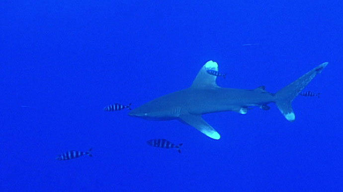
NOAA Ship Okeanos Explorer is returning to the Pacific Remote Islands Marine National Monument, now known as Pacific Islands Heritage Marine National Monument, to explore what lies in the deepwater ecosystems at Johnston Atoll. Scientists will conduct daily remotely operated vehicle operations at depths between 250 and 6,000 meters, as well as produce bathymetric and water column maps using the ship’s sonar systems. But what lies above the deep water? What is the history of Johnston Atoll and how did it get its name?
One of the most isolated atolls on the planet, Johnston Atoll is the result of 70 million years of volcanic eruptions, limestone capping, and reef growth. It consists of four islands: Johnston and Sand Islands, which are natural, and Akua (North) and Hikina (East) Islands, which are artificial islands formed in modern times from coral dredging activities. Captain Charles Johnston of HMS Cornwallis discovered the atoll by accident in 1807. On March 19, 1858, the captain of the American schooner Palestine took possession of the islands in the name of the United States.
 building prior to demolition.")
Johnston Atoll Chemical Agent Disposal System (JACADS) building prior to demolition. Image courtesy of the U.S. Army Materials Agency. Download image (jpg, 144 KB).
Three months later, the Hawaiian schooner Kalama visited Johnston; crew removed the American flag and replaced it with Hawaiʻi's flag. They renamed Johnston Island (the larger of the two natural islands) Kalama Island and the nearby smaller island Cornwallis. Native Hawaiians referred to Johnston as Kalama Atoll for some time thereafter.
On September 11, 1909, the Territory of Hawaiʻi leased the atoll for 15 years to a private citizen, who attempted to mine the atoll for guano. But, the project wasn't profitable and the citizen eventually abandoned it.
On June 29, 1926, President Calvin Coolidge placed Johnston and Sand Islands under oversight of the Department of Agriculture as a "refuge and breeding ground for native birds," naming it the Johnston Island Reservation. But the department had no ships of its own and the Navy was interested in the atoll for strategic reasons, so President Franklin D. Roosevelt placed the islands under the "control and jurisdiction of the Secretary of the Navy for administrative purposes" on December 29, 1934. Though the islands were under the administrative control of the Navy, they retained their status as a bird refuge. The Johnston Island Reservation was renamed the Johnston Island National Wildlife Refuge in 1940; later, it was renamed yet again as the Johnston Atoll National Wildlife Refuge.
The island was under military control from 1934 to 2004. In 1941, Japanese pilots shelled Johnston Atoll after the Pearl Harbor attack, and in 1948, the atoll was placed under the control of the U.S. Air Force, marking the beginning of myriad of chemical warfare operations.

Nuclear-armed Thor missile explodes and burns on the launch pad at Johnston Island during the failed "Bluegill Prime" nuclear test, July 25, 1962. Image courtesy of the Department of Defense - US Air Force, Navy Joint Task Force 8, and the Atomic Energy Commission. Download image (jpg, 41.2 KB).
 after a Thor missile launch failure and explosion contaminated the island with Plutonium during the Operation Bluegill Prime nuclear test, July, 1962.")
Johnston Island Launch Emplacement One (LE1) after a Thor missile launch failure and explosion contaminated the island with Plutonium during the Operation "Bluegill Prime" nuclear test, July, 1962. Image courtesy of the U.S Defense Nuclear Agency. Download larger version (jpg, 71.0 KB).
Johnston Atoll has never had any indigenous inhabitants, though about 300 American military personnel and 1,000 civilian contractors were on the atoll at any given time during the late part of the 20th century. In 1964, coral dredging activities expanded the size of Johnston and Sand Islands and created Akau and Hikina Islands.
Today, the emergent land at Johnston Atoll remains under the jurisdiction of the U.S. Air Force. Refuge staff manage a remote camp of volunteers to monitor the status of its wildlife, specifically with the intent to eradicate an invasive ant. While most of the seabirds and shorebirds were once found on Sand, Akau, and Hikina Islands, they've now colonized Johnston Island, taking advantage of the shade and height of the trees and shrubs left behind by the island's former human residents.
Here is a brief list of the activities history: