
Amy Bowman - NOAA Office of Ocean Exploration and Research
May 17, 2017
A common complaint from those taking math, who are not fond of the subject, is: Since I don't want to study math, why do I need to know this? But math is important for pretty much everything. When you shop for food, you need to know how much things will cost. When you drive your car, you need to know how far you can drive until you need to fill up again. When you are looking over your pay stub, you need to be able to figure out if you have been paid correctly for your time. These are all math problems.
On NOAA Ship Okeanos Explorer, everyone uses math in some way – from the ship's crew, to the science team, to the remotely operated vehicle (ROV) team. Below are some examples of how math is used by our various team members.
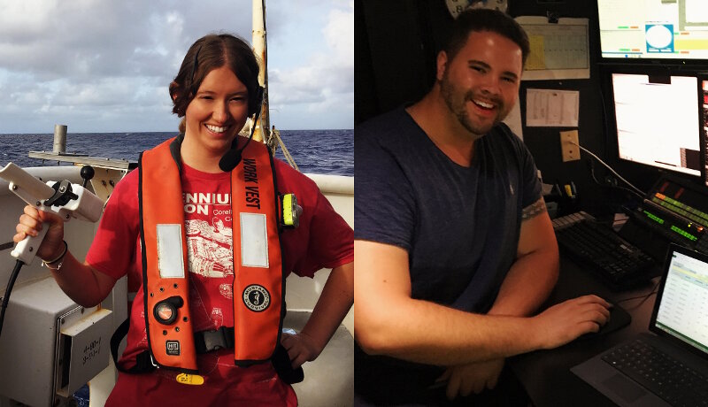
Image courtesy of the NOAA Office of Ocean Exploration and Research, Mountains in the Deep: Exploring the Central Pacific Basin. Download larger version (jpg, 2.1 MB).
From the algorithms used by our software programs, to our measurement of geospatial offsets, math plays a huge role in our work of creating maps of the ocean floor. Hydrography is the science of mapping the seafloor with sound. We do that using very specific sound frequencies which bounce off the bottom of the ocean and are picked up by receivers mounted on the bottom of the ship's hull. We then interpret the rate and angle at which that sound returns. That information is used to make a general picture of the seafloor.
Each of those stages uses math: sound frequencies are measured on a numerical scale based on their wavelength, they are transmitted from the ship at a specific energy level (also measured in a numerical metric like Kilohertz), and then they are received at a different angle (yep, angles mean math!).
In order to accurately determine depth, hydrographers measure the speed of sound through the ocean to calculate the distance of the seafloor from the ship. How long did it take that sound to hit the seafloor and return? How fast was it moving? By taking these two measurements and accounting for the two-way travel time of sound (the time it takes sound to reach the seafloor and then reach the ship again), we can solve a simple equation to tell us the depth of the water.
All of these various measurements give hydrographers clues as to what the deep sea looks like and how deep it really is. We combine these clues all together and locate ourselves geographically using satellites and other forms of mapping benchmarks (also involving lots of precise mathematical measurements) to create these incredibly detailed seafloor maps! Keep your measuring tape nearby, because it turns out math and measurement are a critical part of ocean science.
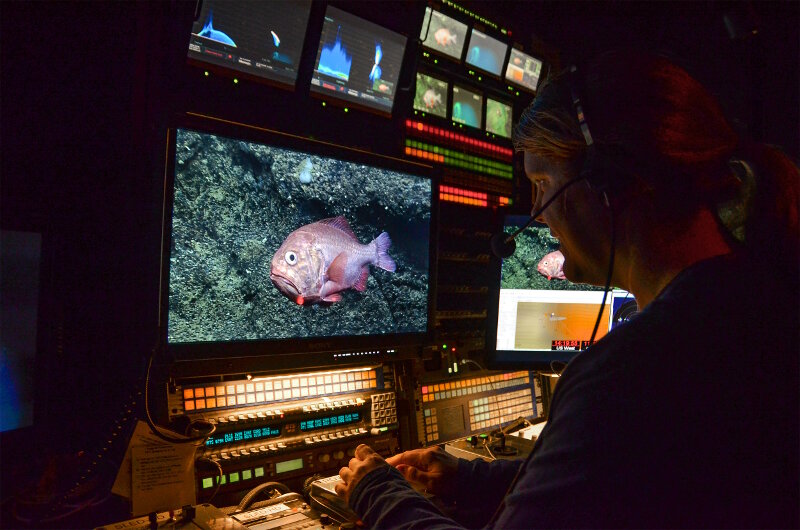
Image courtesy of the NOAA Office of Ocean Exploration and Research, Mountains in the Deep: Exploring the Central Pacific Basin. Download larger version (jpg, 3.8 MB).
For such a visual field, filmmaking uses a surprising amount of math. On the technical side, the cameras we use could not function without understanding the physics of light and how we perceive the world around us. We even use math subconsciously when thinking about the composition of our subjects. Data management and post-processing are very math-intensive, specifically on the ship, due to the sheer numbers of clips and still images we produce during a dive. The process can get quite complicated if our numbers don’t match up. It's extremely important to make sure that all of our data and products are accounted for.
Math is also important in the creative process. We count the length of our title cards and the placement of our subtitles to the frame (keep in mind that we edit at 30 frames per second). Music is the language of math and it is the emotion of our videos, so it is essential to pick the right music as well as edit to the beat. You could say that math is the breath of life in our creative process.
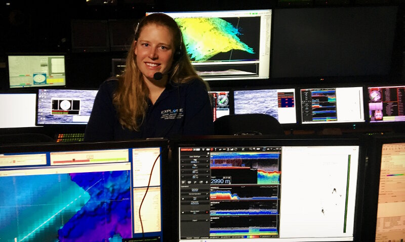
Image courtesy of the NOAA Office of Ocean Exploration and Research, Mountains in the Deep: Exploring the Central Pacific Basin. Download larger version (jpg, 2.6 MB).
I use math all the time. I use it in planning expeditions and in my day-to-day activities on the ship. How many dives can we do, given how far we have to transit during the cruise (over 2,400 nautical miles)? Since it's not possible to dive every day and still make it to the next port on time, what cruise track and balance of dives versus transit days is the most efficient? Which option gets the most data and takes the best advantage of the capabilities of NOAA Ship Okeanos Explorer? How far apart are the selected dive sites and how deep are they?
We use multibeam data to plan all of our dives to help us visualize what we might expect to see on the seafloor and to help identify the habitat we want to target. When a site has never been mapped before, I have to calculate how close our dive sites need to be to in order to allow for sufficient time to map the site before we dive on it. Do we need to add a transit day in order to allow for enough time or is a site close enough that we can map the site overnight?
How long will we be staying in each operating area? When will we enter and leave areas that require permits for research operations? What time zones are our scientists participating from and what time will our dives and meetings be for them? If the vehicles descend at a rate of 30 meters per second, how long will we have on the seafloor at any given depth? Should the dive be extended? If we add a second mode of operations to a dive, like water column transects, we will stop at each depth for approximately ten minutes; given this type of addition, what time will we need to leave the seafloor to complete the transects and still be secured on deck by 1900 (7:00 PM)?
Once I have a draft cruise plan I then double, triple, and quadruple check my math to make sure I haven't missed anything. Once we are underway, any slight deviation from the original plan causes me to recalculate everything all over again. Given a heavy current or strong winds, the ship may slow down. If so, what is our new speed and how will it impact our plan? Do we have enough wiggle room in our overnight plan to accommodate the decreased speed? What is our new anticipated time of arrival? Do we need to shorten the dive? By how much? Will we have enough time to map the site before we dive on it? The list goes on. As you can see, math is a crucial part of my job.
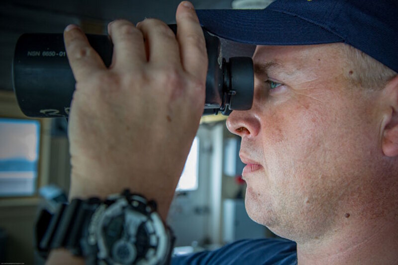
Image courtesy of the NOAA Office of Ocean Exploration and Research, Mountains in the Deep: Exploring the Central Pacific Basin. Download larger version (jpg, 123 KB).
The use of math is extremely important in the safe navigation of a vessel. Nautical charts are usually laid out in base six and can sometimes transfer to base ten when plotting our position. The calculations of time/distance and speed (distance = speed x time) is needed for all fuel projections and arrival times to way-points and ports. As a bridge officer, I use math constantly.
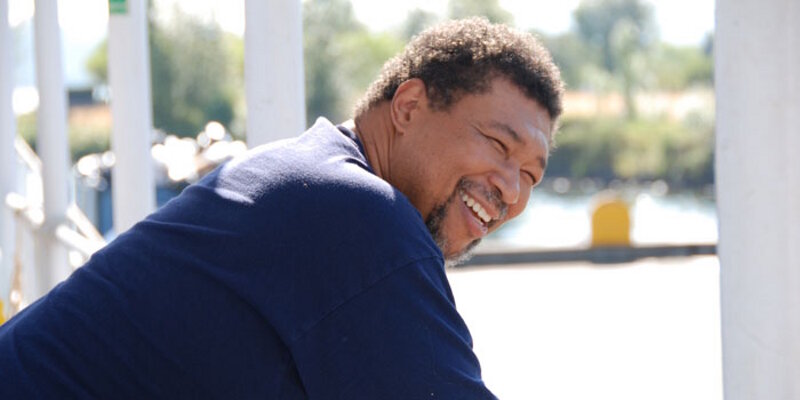
Image courtesy of the NOAA Office of Ocean Exploration and Research, Mountains in the Deep: Exploring the Central Pacific Basin. Download image (jpg, 42 KB).
One of the factors that affects the operation of the ship is Internet bandwidth. The ship depends on satellite-linked Internet to get its information to shore. However, there is a fixed amount of bandwidth assigned to the ship. Of the total out bound bandwidth usage, 73 percent is dedicated to video transfer (e.g., the live video you see on our dives). The rest is used for data transfer to shore as well as general use by the scientists, crew, and guests.
The ship is constantly outputting data to shore, nonstop. Scientific equipment data transference has priority on usage. That reduces the bandwidth even more. With 49 people on board, some people with multiple devices (two personal devices max are allowed access), there are a lot of devices vying for the remaining bandwidth space. That many devices can put a strain on the Internet, slowing it down to a crawl.
Some, such as our scientists, still have shore work to do when not participating in a dive. They have to compete with other people for the limited space. To help alleviate the loading, people are asked to have only one of the device in use. They are asked to turn off their devices or place them in airplane mode when not actively in use. This is because some of the newer wireless devices connect to the Internet and constantly send pings to stay connected. A large percentage of others constantly check the Internet for messages and updates – all of which requires use of bandwidth. Making sure we have all the bandwidth that we need requires math!
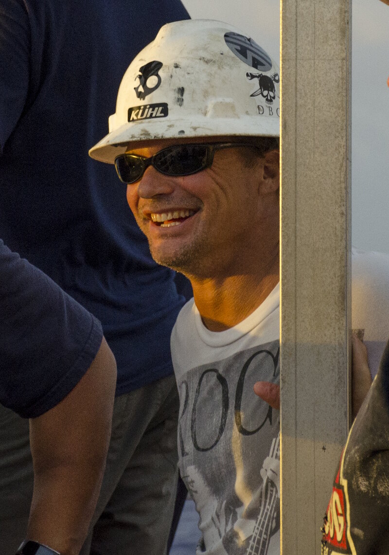
Image courtesy of the NOAA Office of Ocean Exploration and Research, Mountains in the Deep: Exploring the Central Pacific Basin. Download larger version (jpg, 2.4 MB).
Out on the deck of the Okeanos Explorer, math is so entwined in our daily activities that we seldom stop to think about it. From first light, we are setting up our equipment on the stern to safely lift and manage over 14,000 pounds of scientific equipment on and off a constantly moving object floating in the ocean. We have to be constantly aware of the various shock forces being introduced onto our crane and lifting line once we start moving ROV Deep Discoverer off the ship. A slight rocking of the ship can introduce forces equal to twice the weight of the ROV itself, all of that force is instantaneously spread throughout all of the various components of the crane, line, and winch. The wire rope that ROV Seirios is attached to is constantly under strain and that force is also traveling through the block and tackle, A-Frame, and the winch. During particularly rough days at sea, we are reminded of all of these forces when a swell picks up the ship just right and the vehicles counter that motion with their own, creating a "boom" that is felt and heard by everyone from stern to stem. Do the math, it will save your life!
Image courtesy of the NOAA Office of Ocean Exploration and Research, Mountains in the Deep: Exploring the Central Pacific Basin. Download image (jpg, 31 KB).
A video or broadcast engineer uses math daily, from simple addition and subtraction to complex equations. Do you know a television picture is composed by almost 60 individual pictures per second? When we time highlights and programs, we time them to frames of video. The timing is simple addition and subtraction.
We use simple algebra for measuring voltage, power, and resistance in basic circuits; geometry to determine the amount of reflected light off a subject that hits a lens to set a camera to a desired lens aperture; trigonometry to determine signal loss through wires. If you are designing systems, calculus becomes necessary to perform your job. We use other math systems (base 2, octal, hex) in our computers that we use to control various devices within our video system. We also use oscilloscopes to measure timing differences between signals down to nanoseconds.
So it does not take math to switch cameras in a program, adjust an iris to set the correct video output levels on a camera, mix live music for a production, or to edit a program. But to understand all of the tools available to you as an audio mixer, video person, or editor, you need to know and understand math. To understand and troubleshoot television systems, you must understand the mathematics used in equipment specifications and use some level of it every day to perform your duties.
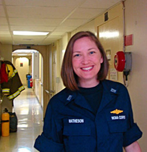
Image courtesy of the NOAA Office of Ocean Exploration and Research, Mountains in the Deep: Exploring the Central Pacific Basin. Download image (jpg, 46 KB).
The captain uses math to calculate the ship's stability, which is essential to the safety of the ship – and the comfort of her crew – throughout a voyage. A ship floating in water displaces its own weight of water. The force that resists this weight is buoyancy – it's what makes the ship float in the first place. But we load thousands of pounds of gear, people, food, ROVs, etc., onto the ship so we can complete our mission. That changes the ship's displacement and its center of gravity – the force pushing the ship down into the water.
If the center of gravity and the center of buoyancy get too far out of line with each other (e.g., we really overload one side of the ship), that makes the ship either "stiff" or "tender." A stiff ship snaps back quite hard from a roll, whereas a tender ship stays at the far end of the roll for a long time. Neither state is ideal. In a stable ship, the centers of buoyancy and gravity strive to remain vertically aligned all the time. That allows the ship to gently return to a stable, neutral, upright position.
How do we make sure the ship is safely balanced? Before leaving the pier, we measure the draft (how far it is from the ship's gunwale to the water's surface) at four points around the ship – fore and aft, port and starboard. The captain uses these measurements to calculate how the ship is oriented in the water. Is she down at the bow, or listing to starboard? Do we need to adjust the load on our decks? Do we need to move liquid from one set of tanks to another? Stability is recalculated every few days to account for any changes, and that makes sure we stay safe from the moment we let go the lines to the moment we throw them ashore again.
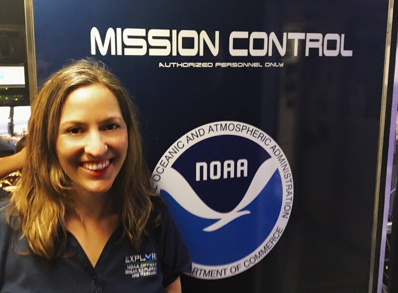
Image courtesy of the NOAA Office of Ocean Exploration and Research, Mountains in the Deep: Exploring the Central Pacific Basin. Download larger version (jpg, 957 KB).
Math is essential to the field of ecology. As a pelagic ecologist, I am interested in how animals are distributed within the water column and what environmental factors control these distributions.
When we survey the seafloor or the water column for animals, we may think that they are randomly distributed or we may sense that there is some sort of pattern, but we can't say for sure without math. With these qualitative observations, we can pose a testable hypothesis. An example hypothesis is: the community of animals that lives shallower than 1,000 meters (3,280 feet) is different than the community below 1,000 meters. In order to test the hypothesis, however, we need to collect hard data – numbers! In my example hypothesis, I would count the number of each type of animal we encounter in each depth range (greater than 1,000 meters and less than 1,000 meters).
Because they also commonly change with depth, I am also interested in knowing the temperature and oxygen concentration where I saw each fish. I can then use statistical techniques (math!) to test – first if these two communities are statistically different from each other and second to determine which factor is the cause of these differences – depth, temperature, or oxygen concentration.
Image courtesy of the NOAA Office of Ocean Exploration and Research, Mountains in the Deep: Exploring the Central Pacific Basin. Download image (jpg, 29 KB).
The basic math used in the stewards department may not be as sophisticated as that used used in other some of the other departments. However, it is just as essential to the success of our mission.
We use math to feed (and keep warm and cozy!) 49 people for weeks at a time. On this mission, we had the essential needs of all of our staff to consider for 23 days. There were no shopping opportunities for us between American Samoa and Honolulu, we had to have all of our needs met before we left Pago Pago.
Long before anyone stepped onboard for the mission, food and supplies were purchased to support the 69 meals we prepared while underway. We also needed to ensure that we had enough linens and pillows for each one of our shipmates.
Once underway, we always use math in every one of our recipes. We need to determine daily breakouts, via portion control, for meal preparation. How much will each portion weigh? Multiply that by how many portions are needed for each meal. This equation tells me how much of each item to breakout. I serve two main entrées at each meal – in addition, I need to include a vegetarian option. I also serve two starches and two vegetable choices for both lunch and dinner. Of course, desserts and snacks (very important for morale!) are also provided, one at each meal. These are the factors we use to determine the weight gain by each crew member at the end of the cruise. Kidding! But, as you can see, the amount of food prepared on board can really add up! Do the math! This equals one meal, two entrées – typically 30 portions at four to eight ounces for each entrée, two to four pounds for each vegetable, and three to six pounds for each starch. Add to that four to six pounds for the vegetarian option. You can see just how important math is to make sure we have enough for everyone to eat. We couldn't perform our jobs if we didn't use math.
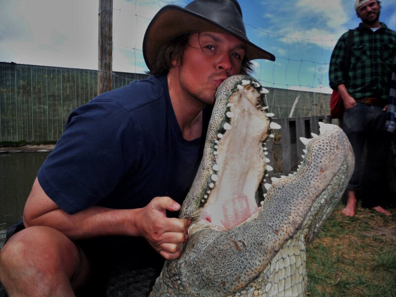
Image courtesy of the NOAA Office of Ocean Exploration and Research, Mountains in the Deep: Exploring the Central Pacific Basin. Download larger version (jpg, 838 KB).
We constantly use dimensional analysis (math that involves unit conversion) to convert hardware sizes, power ratings, flow rates, and other various units. A strong background in both geometry and trigonometry are essential when we size up fabrication jobs (including threading rates on the lathe – a machine we use for shaping). With a boat that encounters daily shifting of weight, we use a program that computes the center of gravity (CG) of the ship. That program uses statistics and calculus to compute the CG of the ship. Lastly, algebra is fundamental to any advanced mathematics that we use.
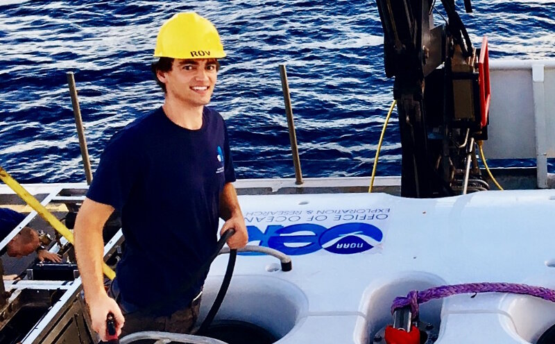
Image courtesy of the NOAA Office of Ocean Exploration and Research, Mountains in the Deep: Exploring the Central Pacific Basin. Download larger version (jpg, 554 KB).
ROV engineers have to do many different calculations to design, build, and operate an ROV capable of operating at 6,000 meters (19,685 feet) depth. One of these difficulties is high pressure. At sea level, pressure is approximately one atmosphere (14.7 pounds per square inch, or psi). At 6,000 meters, the pressure is approximately 600 atmospheres (about 8,760 psi). Think of this as the weight of an elephant standing on top of a U.S. quarter putting pressure on every part of the robot.
Many electronics needed on the ROV are not pressure tolerant. Therefore, they need to be in custom-designed housings to withstand these crushing forces. To make these custom housings takes many calculations – we have to figure out exactly how thick the housing needs to be. We commonly make these housings with thick aluminium or titanium.
To power a robot 6,000 meters (3.7 miles) deep requires many electrical considerations, such as calculating how much power the ROV will use, choosing the operating cable voltage, choosing transformer size, and selecting output voltages. Because our cable is so long, we have to step the voltage up to about 3,000 volts, similar to a power transmission line at home. To have nearly instant communications with the robots 6,000 meters away, we use single mode fiber technology. We calculate the attenuation through the system to decide how much fiber power we need and how sensitive of a receiver we need.
The ROV also needs to be buoyant and balanced in the water. This means that we carefully track the weight and position of everything we add or take off of the vehicle. If we didn't do this, the ROV could sink and make it difficult to get the vehicle back on deck. If the vehicle was not balanced, it could lean to one side and be unstable. We also designed it so the center of buoyancy is far above the center of mass (i.e., flotation on top, heavy equipment on bottom). This keeps the vehicle stable and ultimately stops it from flipping upside down.
These are just some examples of the many math problems ROV engineers have to solve to make a deep sea robotics system function properly.