Students Work with NOAA Ocean Exploration to Visualize Patterns of Deep-Sea Marine Debris in the North Atlantic
View Update
Throughout the 2024 spring semester, students in Annette Spivy's senior capstone research class at the University of Maryland, College Park will work with Sarah Groves and Ango Hsu of NOAA Ocean Exploration's Science and Technology division to standardize and analyze nine years of North Atlantic marine debris data collected via NOAA Ship Okeanos Explorer.
Marine debris is the technical term for trash that is in the ocean. It is anthropogenic (caused by humans), persistent (not going anywhere anytime soon), and one of the most widespread pollution problems facing the ocean. Deep-sea marine debris and microplastics are two types of marine debris that are not immediately obvious because they are either very, very deep or very, very small. Many offices within NOAA, such as the NOAA Marine Debris Program, are working to bring greater awareness to the marine debris that we cannot see. NOAA Ocean Exploration does this by documenting instances of marine debris seen in its remotely operated vehicle video data. However, in order to distill what we see into an impactful message, we must first have a good understanding of what it is we are looking at.
One issue that limits our understanding of deep-sea marine debris is a lack of standardization when it comes to documenting quality (type) and quantity (how much). Data standardization is a key component of Findable, Accessible, Interoperable, and Reusable (FAIR) data governance. NOAA Ocean Exploration relies on FAIR data principles when collecting and archiving its data, and makes it publicly available to every single person.
In order to address this issue, throughout the spring 2024 semester, eight graduating seniors from the University of Maryland, College Park will work closely with NOAA Ocean Exploration staff to optimize the utility of the office’s marine debris observations collected by NOAA Ship Okeanos Explorer over the course of nine years. The students will standardize and analyze the data with the ultimate goal of assisting in filling gaps in the basic understanding of the marine environment and supporting future policy. The students’ final deliverables include visual displays summarizing their findings, a cumulative report, and a final in-person presentation to NOAA Ocean Exploration and NOAA Marine Debris Program staff.
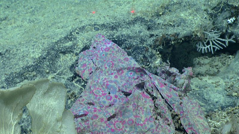
An example of marine debris as seen during a remotely operated vehicle dive. Image courtesy of NOAA Ocean Exploration., 2019 Southeastern U.S. Deep-sea Exploration. Download largest version (1.06 MB).
Update: Students Present Findings of Marine Debris Research Project
On May 2, 2024, NOAA Ocean Exploration hosted college seniors from the University of Maryland College Park for the final presentation of their semester-long marine debris data analysis project.
Over the course of the semester, the students conducted background research and a thorough literature review on the subject before working to standardize the raw dataset, analyze the abundance and appearance of the debris, and finally to create meaningful data visualizations to better communicate their findings. A total of 482 items were identified and categorized by material including fabric, fishing gear, glass, metal, plastic, wood, paper, and rubber, with plastics accounting for almost 30% of the items observed.
The presentation was attended by members of both the ocean exploration and marine debris communities, and covered the methods used for analyzing the quality, quantity, and spatial distribution of the debris, and implications for policy addressing this marine stressor. The students ended their time by holding a question-and-answer session during which they discussed their hopes for future directions of this research.
The project team would like to thank Laura Anthony, Trish Albano, Rachel Gulbraa, Carlie Herring, and Mashkoor Malik for additional support for this project!
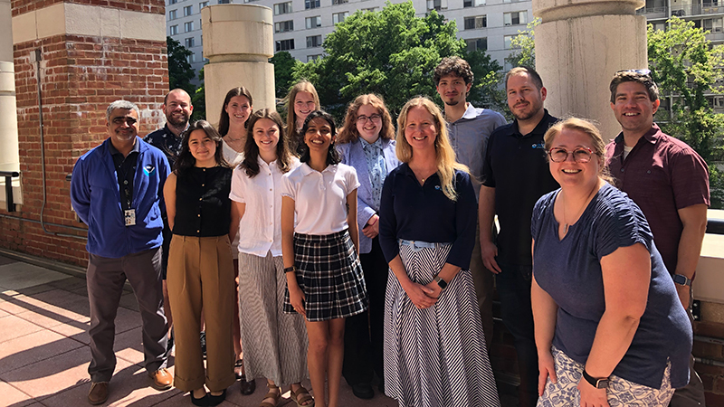
Students from the University of Maryland College Park joined forces with NOAA Ocean Exploration, the NOAA Marine Debris Program, and NOAA’s Office of Coast Survey to discuss the challenges of documenting, studying, and preventing deep-sea marine debris. Image courtesy of NOAA Ocean Exploration. Download largest version (4.10 MB).
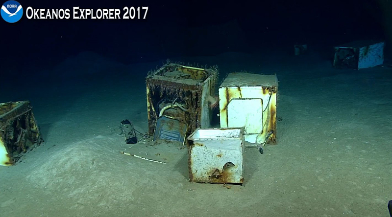
These home appliances, found on the seafloor during a 2017 expedition to the Gulf of Mexico, were among the most surprising observations of marine debris made during the course of the project. Image courtesy of NOAA Ocean Exploration, Gulf of Mexico 2017. Download largest version (136 KB).

482 observations of marine debris were classified by material. Plastic and metal were the most abundant types of debris observed. Image courtesy of the 2024 University of Maryland marine debris student project team. Download largest version (84 KB).
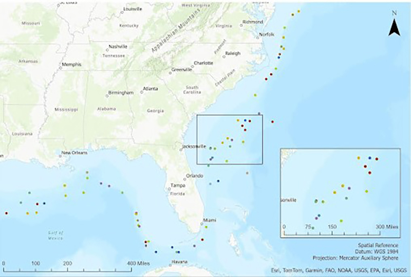
A map of the Gulf of Mexico and Eastern Atlantic showing the locations of marine debris observations. Overall, plastics accounted for almost 30% of these observations. Image courtesy of the 2024 University of Maryland marine debris student project team. Download largest version (184 KB).
Meet the student team:
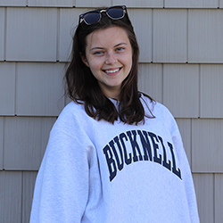
Anna Harmon
Anna Harmon is a senior in the University of Maryland (UMD) Environmental Science and Policy Program with a concentration in environmental economics and a minor in geographic information systems (GIS). Her project role entails data standardization and visualization. After graduation, Anna plans to continue her education by getting a master’s degree in business analytics or GIS from UMD. She has worked as a GIS intern with the Chesapeake Bay Foundation, and is currently a student volunteer with the Department of Energy working as a policy analyst. She hopes to use what she learns through this project to further benefit her future career as a consultant or research analyst in the environmental or international development spheres.
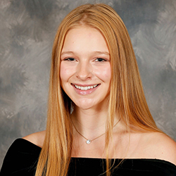
Alyssa Chiascione
Alyssa Chiascione is a senior at the University of Maryland receiving a Bachelor of Science in environmental science and policy with a concentration in marine and coastal management. Her project role entails data standardization and visualization. Alyssa received a certification in sustainable agriculture from the Institute of Applied Agriculture, University of Maryland in the spring of 2022. Currently, Alyssa is engaged in a research internship at the Urban Ecology Research Learning Alliance which involves mapping ecosystem services using ArcGIS. Previously, she interned with the National Park Service at the White House and President’s Park from August 2022 to December 2023. During her time there, she played a pivotal role in the development and expansion of the climate change education program. Alyssa worked directly with Title I elementary schoolchildren, educating them about conservation and the science of climate change. After graduating, she aspires to further her focus on marine research, engaging in water quality monitoring, and pursuing a career in marine conservation.
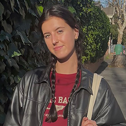
Kate Poremski
Kate Poremski is a senior at the University of Maryland graduating with a Bachelor of Science in environmental science and policy with a concentration in marine and coastal management. Kate completed the Environment, Technology, and Economy Scholars Program at the University of Maryland from fall 2020 to spring 2022 and has worked with the University of Maryland’s Office of Sustainability as a GreenTerp student ambassador. She is a Certified Chesapeake Bay Advocate with the Chesapeake Bay Foundation’s Bay Advocacy Institute and has worked as a field research assistant at the Chesapeake Biological Lab. After graduation, she hopes to pursue a career in marine conservation and management building on skills developed throughout this project.
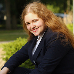
Alyssa Levin
Alyssa Levin is a senior at the University of Maryland graduating with a Bachelor of Science in environmental science and policy with a concentration in environmental politics and policy, and a minor in geographic information systems (GIS). Their project role centers on literature review and policy, as well as GIS. She has previously interned with the Chesapeake Bay Foundation and with the D.C. office of U.S. Representative Jan Schakowsky. She is also a Certified Chesapeake Bay Advocate with the Chesapeake Bay Foundation’s Bay Advocacy Institute. They will be starting a master’s of conservation leadership at Colorado State University in August. Her focus is in water and water policy, particularly as it applies to agriculture and land management, and she hopes to use what she has learned from this project to support future work in environmental and political consultation.
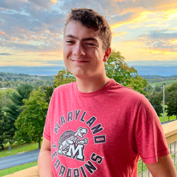
Jonah Pereyra
Jonah Pereyra is a senior from the University of Maryland (UMD) graduating with a Bachelor of Science in atmospheric and oceanic sciences and a Bachelor of Science in environmental science and policy with a concentration in marine and coastal management. His project role entails data standardization and visualization. Currently, Jonah works for the Center for Global Sustainability at UMD where he is examining the electric vehicle industry in Indonesia. He is a member of the NOAA Hollings Scholar class of 2022 and has previously interned with the Coastal Training Program at Rookery Bay National Estuarine Research Reserve where he examined mangrove resiliency and carbon sequestration. After graduation, Jonah plans to attend law school and pursue a career in environmental law.
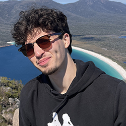
Alex Peska
Alex Peska is a graduating senior from the University of Maryland majoring in environmental science and policy with a concentration in marine and coastal management and minoring in geographic information systems (GIS). Alex is currently a database manager with the NASA Applied Remote Sensing Training (ARSET) program. Previously, he has served as a geospatial analyst with Conservation Futures in collaboration with the University of Melbourne where he developed a conservation platform integrating geospatial data and sacred Aboriginal knowledge. He plans on returning to Australia to pursue a career in marine conservation and to create solutions that support human and wildlife coexistence.
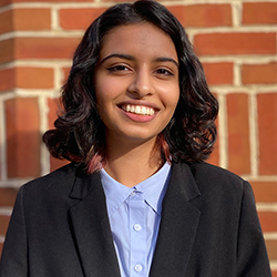
Aboli Dahiwadkar
Aboli Dahiwadkar is a graduating senior at the University of Maryland studying environmental science and policy with a concentration in marine and coastal management and geographical sciences with a concentration in geospatial data science. Her project role entails data standardization and visualization. Aboli is currently researching Indonesian industrial parks at the Center for Global Sustainability and previously studied microhabitats in rocky intertidal zones in San Francisco. Aboli hopes this project will help her develop the skills necessary to enter a career focusing on marine ecosystems and utilizing geographic information systems (GIS) for environmental protection. After graduation, she hopes to pursue a career in marine conservation and environmental outreach.
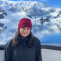
Emily Harris
Emily Harris is a graduating senior at the University of Maryland studying environmental science and policy with a concentration in marine and coastal management and a minor in geographic information systems (GIS). Her role in this project is GIS and data visualization. Previously, Emily was a GIS intern with the University of Maryland where she mapped food waste generators and pre- and post-consumer sites for an app to help restore food waste. She is currently working on a research project where she is analyzing the effects that the emerald ash borer has on wetlands over time. After graduation, Emily plans to attend graduate school and pursue a career in GIS.
Published March 14, 2024
Updated May 28, 2024