November 21, 2020: Kawio Barat
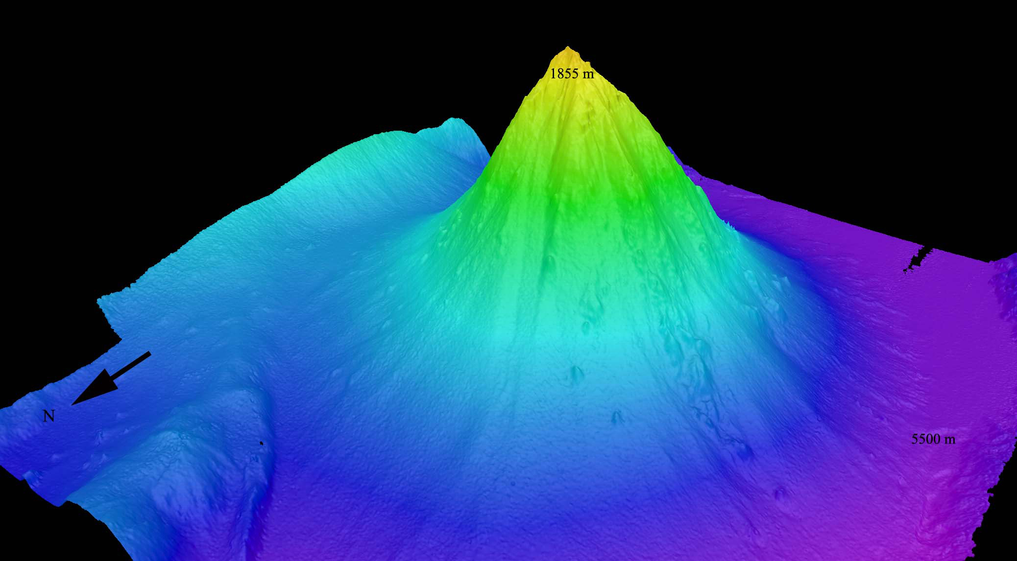
 seamount looking from the northwest. The underwater volcano rises around 3,800 meters (12,467 feet) from the seafloor.")
Image courtesy of the NOAA Office of Ocean Exploration and Research, INDEX-SATAL 2010. Download larger version (jpg, 580 KB).
This image, generated from multibeam bathymetry data collected via NOAA Ship Okeanos Explorer, shows a perspective view of the Kawio Barat (West Kawio) seamount looking from the northwest. The underwater volcano rises around 3,800 meters (12,467 feet) from the seafloor.
Kawio Barat was one of the first underwater seamounts mapped during the INDEX 2010: “Indonesia-USA Deep-Sea Exploration of the Sangihe Talaud Region” expedition. Collected data were used to determine remotely operated vehicle dive sites later in the expedition.
From: NOAA Ship Okeanos Explorer Maps Kawio Barat.