July 10, 2020: Remote Sensing Survey

Image courtesy of John Bright. Download larger version (jpg, 4.0 MB).
During the Aviators Down expedition, a team conducted a remote sensing survey of five areas of Lake Huron within and adjacent to Thunder Bay National Marine Sanctuary that had been determined to be likely sites for lost World War II training aircraft. None of the five areas of Lake Huron, located off Alcona and Iosco Counties in Michigan, had been previously surveyed.
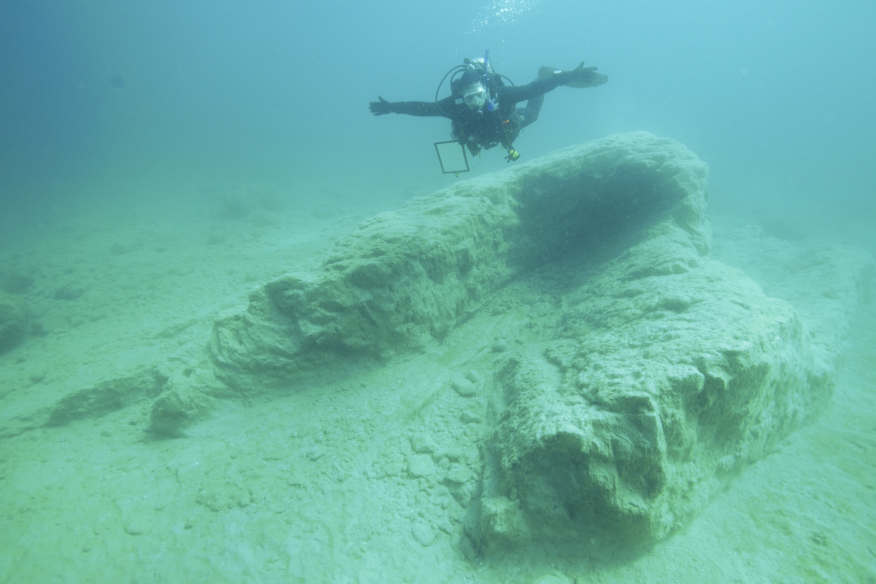
Almost 600 anomalies were recorded via the remote sensing survey. Most of the anomalies that were subsequently ground truthed by divers during the expedition turned out to be geologic in origin. Glacial clay deposits dating from the creation of the Great Lakes were abundant and acoustically appeared as lines and angles on the lake bottom. Some of the clay features were over 18 meters (60 feet) in length.
The fact that divers did not locate aircraft wreckage during the expedition does not mean that wreckage was not detected during the survey, as only a small percentage of targets were examined due to limited time available for diving. Nearly 200 military aircraft were lost in the Great Lakes during World War II, including those flown by the Tuskegee airmen.