By Amanda Evans, Coastal Environments, Inc.
Alexandra Herrera-Schneider, Coastal Environments, Inc.
Megan Metcalfe, Wessex Archaeology Ltd.
Louise Tizzard, Wessex Archaeology Ltd.
After a flurry of activity during mobilization, and some adjustment of equipment set up and computer settings, we’ve settled into a routine. Amanda and Megan work from noon to midnight with engineers/surveyors Scott and James. About 11:45 pm, we’re joined by Louise and Alex for a handover meeting. We review the events of our shift, what lines have been completed, what interesting things we saw on the data, and any problems that occurred. We review the plan for the next 12-hour shift, and with that, the handover is completed. Louise and Alex work the midnight to noon shift with Dave and Corey. At 11:45 am the next day, Amanda and Megan are back in the lab for the next handover meeting.

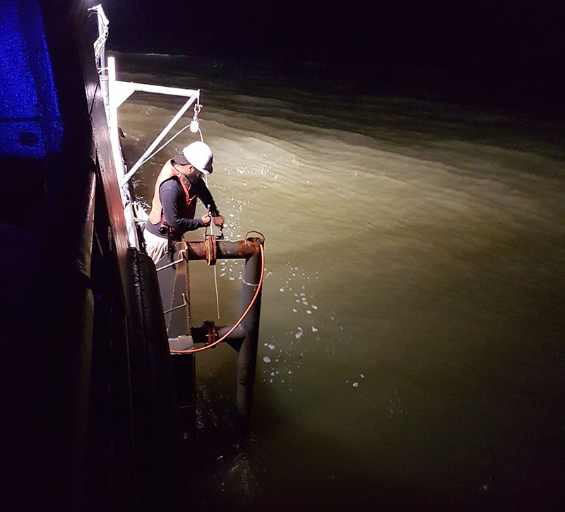
James completing deployment of the parametric sonar at a new survey site. Image courtesy of Paleolandscapes and the ca. 8,000 BP Shoreline of the Gulf of Mexico Outer Continental Shelf. Download larger version (jpg, 3.3 MB).
We started the project with 14 different survey grids planned and ready. The grids ranged from long, regional survey lines meant to provide a general overview of an area, to smaller, closer interval grids over possible features. As we collect the data, we decide if we need to add lines, continue following a feature, or omit lines where we aren’t seeing anything. The survey plan changes shift by shift, and sometimes hour by hour. We knew we wanted to survey after May 1st because, historically, this is when the weather offshore starts to get consistently better for survey in the Gulf of Mexico. So far, the weather has cooperated. It was a bit rough the first day, and it does show in the data, but nothing we can’t work with. Since then, it’s been almost flat calm. As of yesterday, we’ve collected over 480 line kilometers of data. Multiply that by four different data sets, and we’ve got a lot of work ahead of us to process and interpret it all. But we’re not done yet, and the weather is anything but predictable.

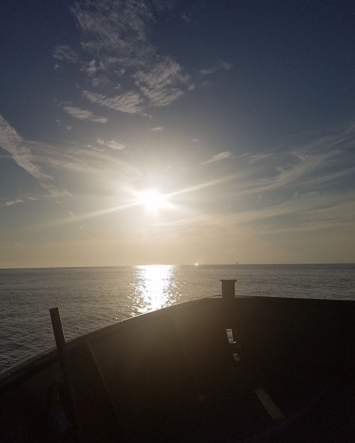
Sunset over calm waters. Image courtesy of Paleolandscapes and the ca. 8,000 BP Shoreline of the Gulf of Mexico Outer Continental Shelf. Download larger version (jpg, 2.8 MB).
When everything is working, it’s quiet on the boat. Boring is good. It means the weather, the ship, the computers, and the remote sensing gear are all working the way that they should. There are occasional moments of excitement. In some cases, we have a little information about the area already, and seeing the channels emerge where we thought they would be is exciting. As we watch the data scroll across the monitors, we’re trying to work out the patterns. Sometimes we think we know exactly what’s going on, until the next line shows something brand new and unexpected. We could chase some of these valleys for days, but eventually there comes a time when we have to stop and move on to the next area.

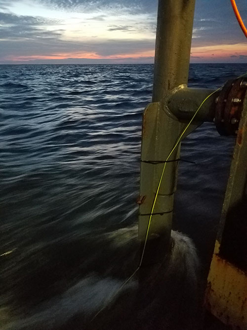
The parametric sonar pole as the vessel transits a survey line at sunset. Image courtesy of Paleolandscapes and the ca. 8,000 BP Shoreline of the Gulf of Mexico Outer Continental Shelf. Download larger version (jpg, 3.6 MB).