By Jeremy Potter*, Bureau of Ocean Energy Management
*On behalf of the ~30 people across 15 federal and non-federal organizations actively contributing to making EXPRESS a success.
In 2010, there was INDEX-SATAL. In 2012...ACUMEN. 2015 was the start of CAPSTONE. In 2016, ASPIRE began. Now meet EXPRESS, short for EXpanding Pacific Research and Exploration of Submerged Systems. EXPRESS is the latest evolution of the multi-year, multi-ship campaign concept.
Overview: In late 2017, a team of federal and non-federal partners initiated a new phase of collaborative science in the eastern Pacific. What started as a simple one-day multibeam survey on NOAA Ship Rainier off central California quickly evolved into a major west coast field program engaging and exciting scientists and marine resource managers spanning numerous disciplines and organizations.
Now almost two years later, the team - primarily composed of three federal agencies and the Monterey Bay Aquarium Research Institute (MBARI) - has completed ~22 complementary cruises. We are planning another five expeditions, including this NOAA Ship Reuben Lasker expedition, during the remainder of 2019.
Purpose: Objective scientific information is critical to ensure that ongoing and potential marine resource development proceeds in an environmentally and economically responsible way. EXPRESS is already providing valuable data designed to inform management decisions related to:

The Southern California Seafloor Mapping Initiative (SCSMI) - a regional effort to collect high-resolution mapping data applicable to numerous federal and state agencies – laid the foundation for EXPRESS. Multiple vessels will contribute to the emerging campaign. Image courtesy of CDR Ben Evans, NOAA. Download larger version (jpg, 1.5 MB).
Evolution: Relative to areas offshore the eastern United States and the Gulf of Mexico, the majority of deepwater areas off the U.S. West Coast are poorly understood. A big driver in this relative disparity is almost certainly a lack of access to a dedicated federal vessel focused on deepwater mapping and characterization. Unlike prior campaigns which were built around the backbone of a dedicated exploration vessel and led by a single federal agency, EXPRESS is different. EXPRESS has no dedicated vessel and no single agency lead. It is a distributed team effort both in terms of ships and leadership. The effort is co-led by three federal agencies - NOAA, U.S. Geological Survey, and Bureau of Ocean Energy Management. We actively work to organize and integrate activities across a distributed fleet of ships with complementary capabilities.

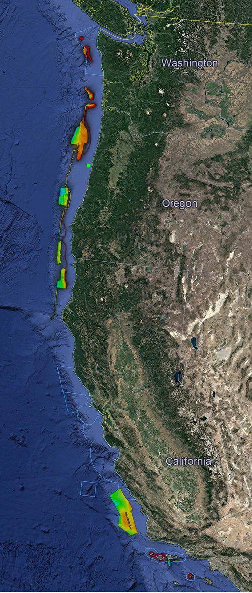
EXPRESS 2018 Overview: Google Earth image of the west coast of the United States. Image shows the outline of the five west coast National Marine Sanctuaries and a compilation of the multibeam data collected as part of EXPRESS in 2017 and 2018. These data are informing 2019 Lasker expedition plans. Image courtesy of Google Earth. Download larger version (jpg, 143 KB).
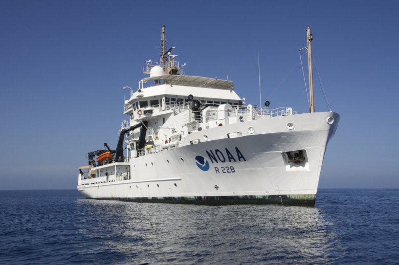
Keystone Expedition: While each and every expedition is purposefully designed to complement and enhance the value of the overall EXPRESS campaign, partners focus special attention and resources on the design and execution of one major expedition each year. Like its architectural namesake, the ‘keystone’ expedition is the piece that effectively integrates all other components. The annual ‘keystone’ expedition serves as a high-visibility opportunity to showcase the breadth of partner activities that have occurred throughout the campaign. The 29-day NOAA Ship Reuben Lasker effort – featuring the Global Foundation for Ocean Exploration’s (GFOE) two-body remotely operated vehicle and NOAA Fisheries’ SeaBED AUV – is the 2019 EXPRESS keystone expedition.

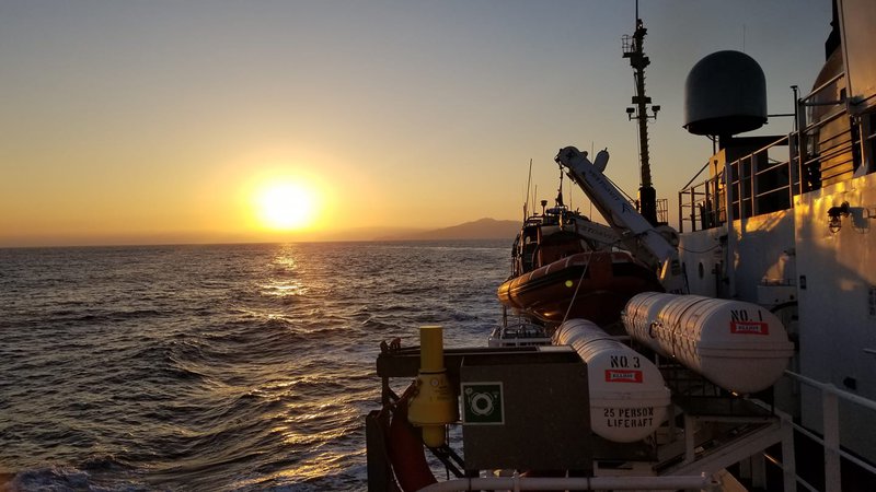
Around-the-clock operations planned onboard NOAA Ship Reuben Lasker include use of the SeaBED AUV and two-body ROV system Yogi and Guru. Image courtesy of Paul Hillman, NOAA. Download larger version (jpg, 395 KB).