By Dr. Amanda Demopoulos, U.S. Geological Survey, Research Benthic Ecologist
September 16-17, 2017

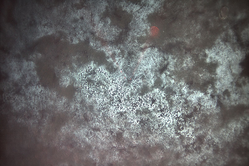
Autonomous underwater vehicle (AUV) Sentry captured this image of an extensive bacterial mat (white areas) at the Pea Island B site. The bacteria thrive off of gases that seep up through the seafloor. Image courtesy of AUV Sentry, DEEP SEARCH 2017, NOAA-OER/BOEM/USGS. Download larger version (jpg, 5.5 MB).
I’m sitting at the dock in Morehead City, North Carolina, waiting for the weather to clear so that we can resume the DEEP SEARCH expedition. So much information and time go into every offshore expedition. The preparation starts weeks to months in advance, and requires gathering all the available information about the planning area for the mission.
For this DEEP SEARCH expedition, we collected the available seafloor bathymetry data, the locations of possible seeps based on water-column acoustic data, and the locations of deep-sea corals sampled from earlier expeditions. After collecting this information and obtaining input on priority targets from all the scientists involved in DEEP SEARCH, we developed an efficient cruise plan and order of sites based on distances to and from the mobilization and demobilization port(s) to the sites of interest and among those sites.
It would be an understatement to say that weather is an unpredictable force, particularly during hurricane season. However, Mother Nature has thrown us a few more curveballs than I would have ever imagined. We always start with a plan before we leave the dock; however, that plan usually gets thrown out the window once underway. Our departure location was changed to Norfolk due to hurricane-driven high seas and winds. This required a shift in the order of sites, but flexibility is critical to planning offshore expeditions. This became the first of many changes required for this mission, but going to sea is an adventure, and it is important to be nimble.

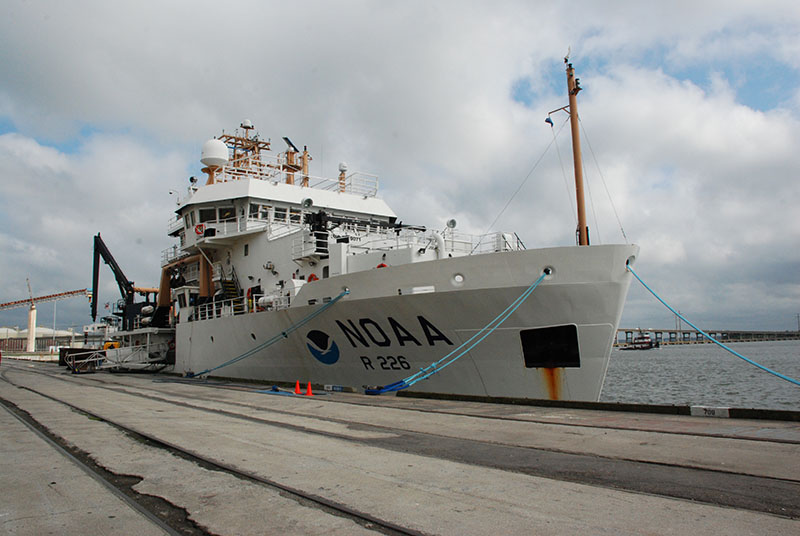
To avoid Hurricane Jose, NOAA Ship Pisces returned to port in Morehead City, NC on September 16. The ship will remain docked until the storm passes after the weekend. Image courtesy of DEEP SEARCH 2017, NOAA-OER/BOEM/USGS. Download larger version (jpg, 4.6 MB).
Despite our weather delays thus far, we have really accomplished a great deal in our short time at sea. Since departing on Tuesday, September 12, we have conducted two Sentry dives and explored 5.2 square kilometers (~2 square miles) of seafloor. So far, we’ve amassed 3.6 TB of data, which contain ~27,000 images of the seafloor never seen before. Multibeam and sidescan sonar data and subbottom profiling data are being merged by scientists on the ship to provide us with a picture of the seafloor terrain, including its surface and subsurface. The photos provide us with the context of that seafloor environment, serving as a window into the deep sea, and verifying the locations of seeps and other habitats. So far, our dives have verified several seep habitats that were never imaged before.
Using the CTD rosette and monocore, we have conducted seven casts, collecting water and sediment from places that have very little data. Many of the sediment samples represent the first-ever collections from these locations. These samples will yield insights into the sediment infaunal communities, the animals that live in the mud, including the number of species (who lives there), abundance (how many), and differences among habitats, including deep-sea canyons, slopes, and seeps.
The sediment samples are also revealing new information about the geologic processes currently or recently (geologically speaking!) active in these environments. We are seeking to understand more about how the shapes of the canyons and slopes change over time, in order to develop a clearer picture of how stable the seafloor is at the edge of the continental shelf and beyond. The water samples will be analyzed for organic content and sediment concentration, which will help us understand the quality of food raining down on the seafloor organisms. All of these data provide a foundation from which we will plan our next mission of the DEEP SEARCH project, enabling us to refine site selection for submersible dives next year.

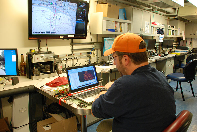
U.S. Geological Survey geologist Jason Chaytor processes sidescan data from a recent AUV Sentry dive. These data will help us to better understand the seafloor environment and plan for future DEEP SEARCH expeditions. Image courtesy of DEEP SEARCH 2017, NOAA-OER/BOEM/USGS. Download larger version (jpg, 5.6 MB).
I’m looking forward to heading back out soon to finish what we started and gathering new data essential to the mission of DEEP SEARCH. Everyone on the ship is excited about what we might find in the remaining days of this expedition, as our few days at sea have already had such a promising start.