EXPRESS: West Coast Mapping 2022 (EX2208)
October 16 - November 3, 2022
Expedition Overview
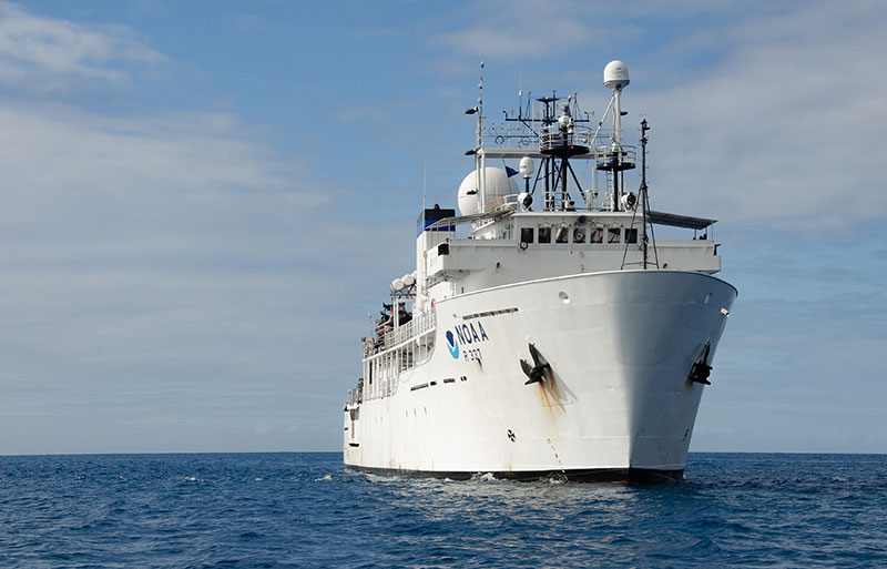
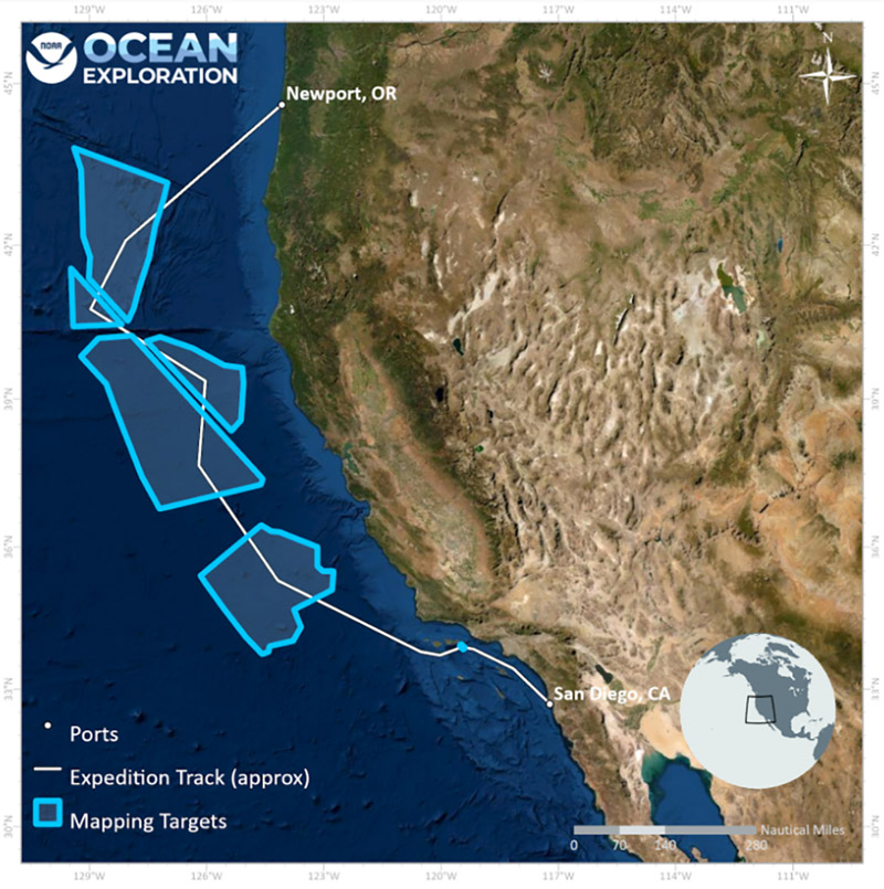
From October 16 - November 3, 2022, NOAA Ocean Exploration will conduct an exploratory expedition to increase mapping coverage in unexplored regions off the coasts of California and Oregon, with a focus on waters deeper than 200 meters (656 feet). The expedition will commence with a transit northwest from San Diego, California, in order to reach target areas for mapping in a small region south of the Channel Islands and off the west coasts of California and Oregon. The expedition team will conduct 24-hour-a-day exploratory mapping operations to fill priority mapping gaps and will also conduct a detailed sub-bottom survey of a sponge reef south of the Channel Islands. The expedition will conclude in Newport, Oregon, marking the end of operations on NOAA Ship Okeanos Explorer for the 2022 calendar year.
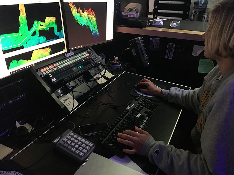
The mapping work conducted during the EXPRESS: West Coast Mapping 2022 expedition will result in high-resolution maps of the seafloor and provide acoustic backscatter data information about the seabed and water column. Acquired data will fill critical mapping gaps in the region and directly support the objectives of the interagency EXpanding Pacific Research and Exploration of Submerged Systems (EXPRESS) campaign, including guiding wise use of living marine resources and habitats, informing ocean energy and mineral resource decisions, and improving offshore hazard assessments along the U.S. West Coast.
In support of NOAA Ocean Exploration’s goal of training the next generation of ocean explorers, two explorers-in-training will participate in the expedition, assisting in the collection and processing of sonar data.


Operations

NOAA Ocean Exploration’s EXPRESS: West Coast Mapping 2022 expedition will contribute to the National Strategy for Exploring, Mapping, and Characterizing the United States Exclusive Economic Zone, Seabed 2030 and the interagency EXpanding Pacific Research and Exploration of Submerged Systems (EXPRESS) campaign.
Data collected during the expedition will be available in NOAA’s public data archives within 60-90 days of its completion and will be accessible via the NOAA Ocean Exploration Data Atlas.