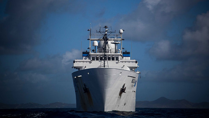
March 20, 2021: NOAA Ship Okeanos Explorer

Image courtesy of NOAA Office of Ocean Exploration and Research. Download larger version (jpg, 430 KB).
NOAA Ship Okeanos Explorer mapping underway during the Tropical Exploration 2015 expedition. The NOAA Office of Ocean Exploration and Research collects baseline ocean mapping data using sonars on the Okeanos. “Sonar” stands for SOund Navigation and Ranging. Learn more about how sonar works in this essay.