By Randy Clark, Marine Biologist, NOAA National Centers for Coastal Ocean Science
May 7, 2019

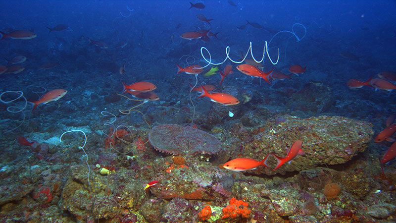
An image of a mesophotic habitat in the Gulf of Mexico collected using the high-resolution camera on the Global Explorer remotely operated vehicle. Image courtesy of Connectivity of Coral Ecosystems (CYCLE) in the Northwestern Gulf of Mexico. Download larger version (jpg, 8.1 MB).
Habitat is a place where an animal lives but also needs to survive and reproduce. Scientists study what habitats animals prefer to live in. For example, some fishes live in seagrass beds as juveniles and on coral reefs as adults.
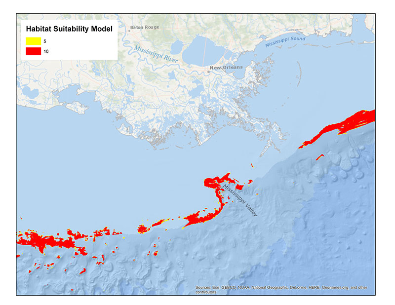
Understanding what types of habitat a particular animal prefers (e.g., coral reefs or seagrass beds) can help scientists predict where an animal can be found. These predictions are often presented as a habitat suitability map. These maps show where an animal’s habitat might occur as a range from not suitable to highly suitable habitat.

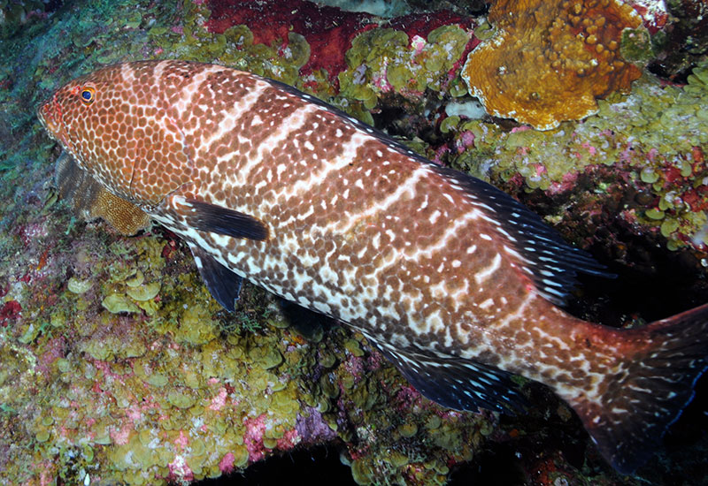
The Tiger Grouper, Mycteroperca tigris, prefers rocky habitat similar to that found in the Flower Garden Banks National Marine Sanctuary. Image courtesy of NOAA. Download larger version (jpg, 2.0 MB).
A typical map scores habitat suitability from 0 to 10. As an example, the Tiger Grouper, Mycteroperca tigris, loves rocky habitats at depths between 3 to 15 meters (10 to 50 feet). So, on a habitat suitability map, rocky habitat would score a 10. The Tiger Grouper sometimes uses rocky habitats from 1.5-3 meters (5–10 feet) and from 15-30.5 meters (50–100 feet), so we’d score those areas as a 5. However, they do not like rocky habitats at depths less than 1.5 meters (5 feet) or greater than 30.5 meters (100 feet) and do not like any non-rocky habitat type. Thus, all of these habitats would get a score of zero. This information is then put on a map to give us a general idea of where we may find Tiger Grouper.
Today, scientists have fantastic technology at their fingertips. They have the ability to survey more places underwater with high-resolution video cameras handled by advanced SCUBA divers or robotic technology, such as a remotely operated vehicle. There are also increasingly more areas of the ocean that have been mapped and their habitats identified. Together, this information can be used to generate maps in a computer software called Geographic Information Systems, or GIS (such as Google Earth).
Maps of habitat suitability for animals of interest to resource managers are very useful to identify areas for conservation to ensure that the animal has what it needs to live, reproduce, and survive. These maps also help scientists identify key areas to study.

An example of a habitat suitability map. Red areas are highly suitable habitat for the animal of interest and yellow areas have medium suitability. Image courtesy of NOAA. Download larger version (jpg, 5.2 MB).