Courtesy of Glacier Bay National Park

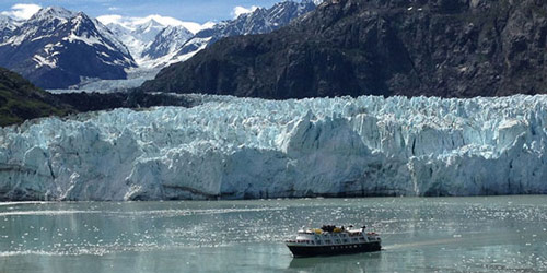
A cruise ship, frequent visitors to Glacier Bay National Pack, sails close to the edge of the glacier. Image courtesy of Glacier Bay National Park. Download larger version (jpg, 59 KB).
Glacier Bay National Park is a unique and dynamic ecosystem, covering 3.3 million acres of rugged mountains, dynamic glaciers, temperate rainforest, wild coastlines, and deep-sheltered fjords. Located at the terminus of Alaska’s Inside Passage, Glacier Bay National Park is also part of a 25-million acre Kluane / Wrangell-St. Elias / Glacier Bay / Tatshenshini-Alsek World Heritage Site, a network of parks that together are one of the largest protected areas in the world.

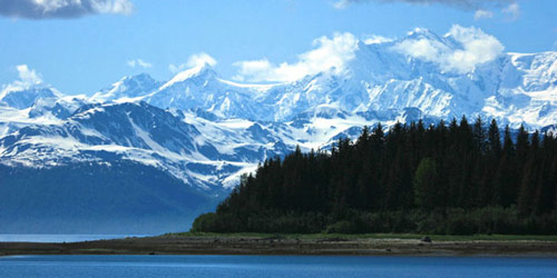
Some of the dramatic views of the preserved wilderness of Glacier Bay National Park. Image courtesy of Glacier Bay National Park. Download larger version (jpg, 56 KB).
The park’s landscape is forever changing. For thousands of years, Tlingit Indians and their ancestors lived in or near what is now Glacier Bay National Park. The advancing glaciers in the Little Ice Age (around 400 years ago), however, forced Tlingits to abandon their village that was located in what is now the lower part of Glacier Bay. In 1794, the area was first described by Captain George Vancouver, and what is Glacier Bay today was just a small indent in the coastline, with “a compact sheet of ice as far as the eye can see” recorded in the ship's log. The glacier has continually retreated since this time, uncovering steep-sided mountains and eventually uncovering the 65-mile long system of fjords, inlets, and coves seen today.
The world knew very little about Glacier Bay until 1878, when naturalist John Muir visited in a sea canoe. Navigating with Captain Vancouver’s map, Muir discovered the ice front had moved back 40 miles from where Vancouver’s survey party saw it just 85 years before. John Muir was fascinated by the icy wilderness he saw and returned four times throughout his lifetime to study the glaciers and the newly uncovered land.

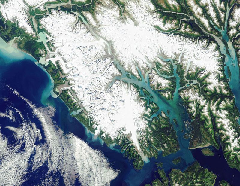
Satellite imagery of Glacier Bay National Park. Image courtesy of Glacier Bay National Park. Download larger version (jpg, 1.2 MB).
Soon, tourists and scientists began to visit the area. The bay became a natural laboratory to learn about the past ice ages, as one could study the moving glaciers and observe the types of plants and animals that colonize areas after the glaciers receded.
The mountain, forest, and marine landscapes; the scientific importance of glacial retreat; and rapid plant and animal succession served as criteria for the establishment of Glacier Bay National Monument in 1925. In 1939, the park was enlarged and in 1980, with the passage of the Alaska National Interest Lands Conservation Act (ANILCA), the monument was converted to a National Park of 3.3 million acres.