By Dr. Martha Nizinski, NOAA Office of Science and Technology, National Systematics Laboratory, Chief Scientist
September 12, 2016

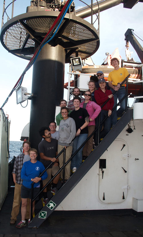
The science and engineering team aboard NOAA Ship Pisces. Image courtesy of Exploring Carolina Canyons expedition. Download larger version (jpg, 4.9 MB).
On August 24, 2016, a team of scientists and engineers aboard NOAA Ship Pisces left the dock in North Kingstown, Rhode Island, enroute to canyons off the coast of North Carolina. Our mission objectives included surveying canyon and inter-canyon slope habitats to characterize benthic habitats and identify areas of coral presence; conducting multibeam mapping in areas where data were missing or incomplete; assessing geological features and characterizing canyon morphology; and conducting CTD and monocore sampling.

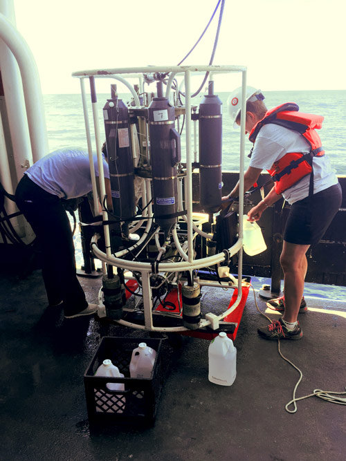
The science team transfers water samples from the CTD rosette into containers. The samples were immediately filtered on the ship and analyses of the samples will provide information about the canyon environment. Image courtesy of Exploring Carolina Canyons expedition. Download larger version (jpg, 5 MB).
Unfortunately, not all missions go as planned and some seem plagued from the start. So it was for our Exploring Carolina Canyons expedition. No matter how well prepared the team is, no matter how many contingency plans are made, ships and sampling equipment can break down. And no amount of planning can control the weather. One thing we have learned from previous expeditions is to be flexible and able to adapt to changing conditions. The goal is always to keep working and make the best of a difficult situation.
During the expedition, we adjusted sampling protocols, practiced gear deployment maneuvers, moved to different locations, and collected samples not originally included in the mission plan. Although we did not acquire the amount of data that we had hoped to collect, we were able to get a glimpse of the habitats and organisms that occur in these canyons—just enough to let us know that our work here is just beginning.

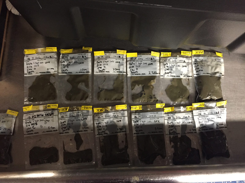
Four monocore samples were collected, sliced at one-centimeter intervals, placed into pre-labeled bags, and stored in the refrigerator until they could be analyzed on shore. Image courtesy of Exploring Carolina Canyons expedition. Download larger version (jpg, 2.6 MB).
Strong surface currents (4 knots) precluded us from surveying Keller Canyon, but AUV Sentry completed one successful dive in Pamlico Canyon and two successful dives in Hatteras Canyon. Based on the preliminary analysis of the 50,000+ collected images, we documented the presence of deep-sea corals and sponges in both of these canyons. The morphology, and presumably the underlying geology, of these two canyons are quite different from what we have observed in the canyons further north.
The multibeam data we collected filled an important gap in the bathymetry maps for this region. We now have a better idea of the depth and topography of the head of Hatteras Canyon. These data are not only important to our goal of understanding the shape and form of these canyons but will also aid in our understanding of physical processes that influence canyon processes.
CTD data collected, both by Sentry and on monocore deployments, increased our knowledge of the water column, providing information on the structure of the water mass and how temperature, salinity, and oxygen concentration change with depth. The monocore operations were successful; four core samples were collected. These cores, sectioned into layers, resulted in 74 samples. Additionally, 56 liters of water were filtered. Analyses of these sediment and water samples will provide information on the amount, composition, and quality of food available to the benthic organisms living in the canyon environment.

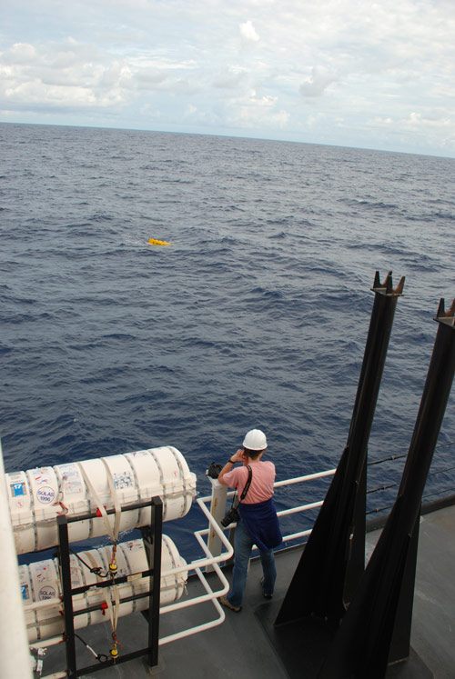
Dr. Martha Nizinski, chief scientist, watches Sentry surface after its 15-hour deployment. Image courtesy of Exploring Carolina Canyons expedition. Download larger version (jpg, 4.3 MB).
Making the best of bad weather, we collected three cores at a landslide area off Cape Fear in support of research conducted by our U.S. Geological Survey colleagues. Analysis of these core samples will further our understanding of sediment flows as well as give us a better idea of the timing of recent underwater landslides.
The final challenge for this cruise was the weather. Tropical depressions followed by Hurricane Hermine caused us to pick up our gear and return to the dock several days ahead of schedule.
In spite of all these challenges, we successfully collected data in support of four of our objectives. We now know that corals do occur in these canyons. We also have our first assessment of the underlying geology. Armed with this information, we realize there is more work to do. We will use this information to plan another cruise to this region next year. Fingers crossed for calm seas!