By Jason Gillham, CEO - 2G Robotics
August 30, 2016

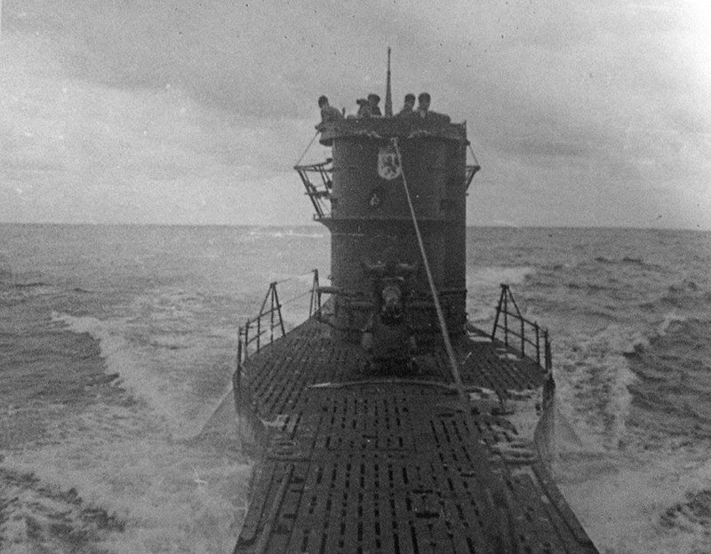
The German submarine U-576 at sea before sinking on July 15, 1942. Image courtesy of the Ed Caram Collection. Download larger version (jpg, 192 KB).
Questions from the past that remain unanswered to this day may soon be answered with futuristic technology. The underwater laser scanner provided by 2G Robotics for the Battle of the Atlantic expedition is set to create a digital 3D scan of the sunken German submarine U-576.

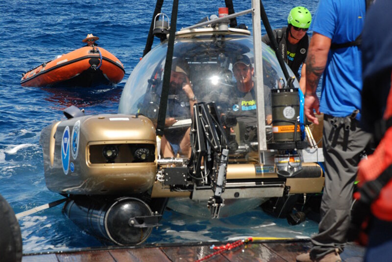
The manned submersible Nemo containing a pilot and an archeologist is being lowered into the ocean for its first dive. Image courtesy of the Battle of the Atlantic expedition. Download larger version (jpg, 2.9 MB).
During this expedition, laser scanning operations began after a day of setting up an array of positioning beacons in a constellation around the submarine wreck site, similar to GPS satellites around the Earth. With the laser scanner attached to a manned submersible, a submersible pilot and an archeologist inside the vehicle descended 700 feet to the final resting place of one of the infamous German U-boats of the second World War.

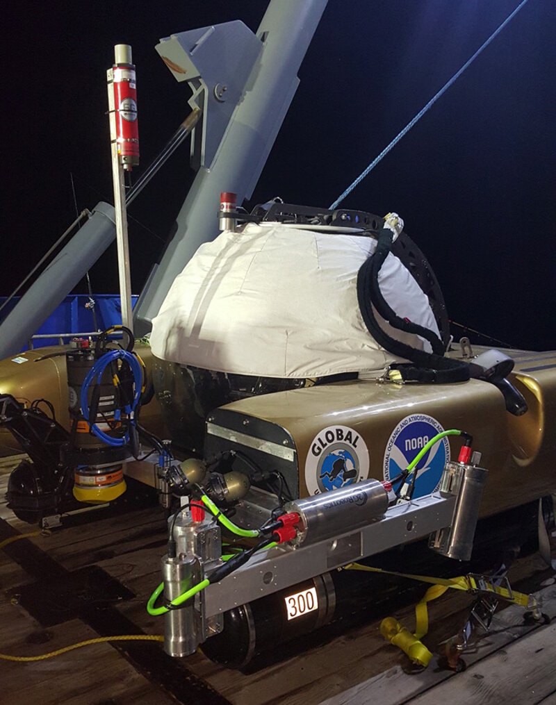
TULS 500 Pro Underwater Laser Scanner attached to the submersible (seen in the front). Image courtesy of Jason Epp, 2G Robotics - Battle of the Atlantic expedition. Download larger version (jpg, 3.8 MB).
After the submersible crew found the wreck site underwater, they sent a quick and muffled confirmation through an underwater communication system to the support vessel on the surface. The laser was activated and scanning began, and the effects were immediate. Like discovering a new world in a video game, the digital 3D recreation of the boat took form on the laptops packed inside the manned submersible.
The pilot of the manned submersible, confined to the inside of the acrylic sphere protecting him and the archeologist, navigated over the U-576, collecting geometry of the current condition of the steel wreck and the marine life that has taken up residence over the more than 70 years since it sank.

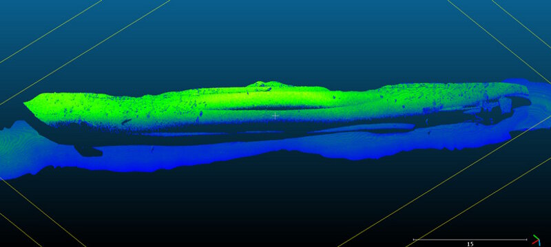
Initial data from first pass laser scanning showing a laser point cloud of U-576. Image courtesy of 2G Robotics - Battle of the Atlantic expedition. Download larger version (jpg, 392 KB).
After hours of deliberate passes back and forth over the site, a 3D model consisting of hundreds of thousands of points representing the surface of the wreck were collected. With this data, archeologists will be able to answer critical questions about the fate of the submarine and the position of its features and determine measurements of damage.
Some questions archaeologists will be able to answer quickly with rough initial measurements collected at the site. Other questions about the sinking of the vessel may take years to answer, as the extraordinary amount of data collected continues to be analyzed.