By Ashlee Henig, Scripps Institution of Oceanography
March 4, 2010

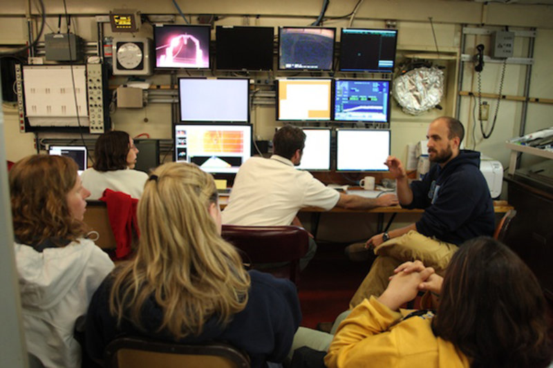
Figure 1. Scientists in the main lab get ready to watch live video of the seafloor which is being recorded by the camera system mounted on the multi-core instrument. Image courtesy of INSPIRE: Chile Margin 2010. Download image (jpg, 98 KB).
As I write this log, I’m sitting in the main lab watching Chief Scientist Andrew Thurber and "res tech" Jim maneuver our video-equipped multi-core along the seafloor for the fourth time this cruise. As a geologist, I’m finding this to be our most exciting view of the seafloor yet, because we are seeing scarps and boulders, underwater cliffs, and steep downhill slopes. For the first time, there is not flat seafloor nor a single echinoderm (such as a sea star) in sight. But don’t get me wrong. I’m enjoying learning about all the biology and chemistry on this cruise...

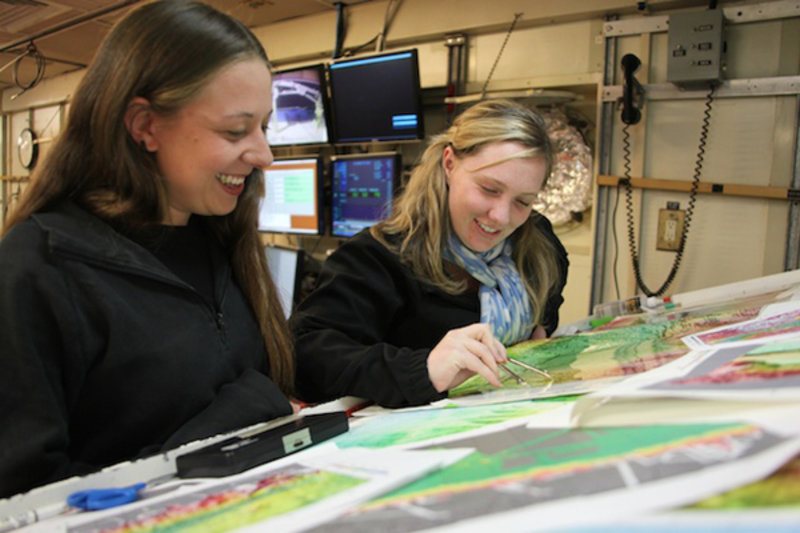
Figure 2. Ashlee Henig (right) discusses study locations at the map table with fellow graduate student Monica Heintz. Image courtesy of INSPIRE: Chile Margin 2010. Download image (jpg, 89 KB).
The diversity of science and degree of scientific collaboration happening here on the research vessel Meville is just another thing that makes the INSPIRE cruise special. Here’s my example: I am a geology grad student, here to help make and interpret maps. This becomes a win-win situation for me when I learn from the biology and chemistry students what they’re looking for and how and where to find it. Then I can contribute by helping to choose an appropriate location on the map for us to explore.
But that’s not all. What's even more fun for me is helping the other scientists prep their samples with chemicals, filters, syringes, and every sort of lab equipment I can imagine. These are things I never do in my own studies! So, I’m broadening my scientific knowledge, while playing with lots of cool lab equipment. See? Win-win!

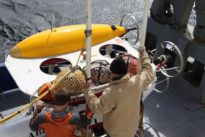
Figure 3. Members of the Woods Hole Oceanographic Institution's autonomous benthic explorer (ABE) crew prepare ABE for deployment. Image courtesy of INSPIRE: Chile Margin 2010. Download image (jpg, 105 KB).
Today the autonomous benthic explorer (ABE) will make it into the water for the first time on this cruise. It's also the first time in two years since ABE went into and came out of retirement. You can bet the ABE team is excited: they’ve been waiting to get in on the action since the cruise set sail! If we get ABE into the ocean by 10 p.m., the autonomous underwater vehicle will have enough time to complete all three of its operational phases — chemical detection, seafloor mapping, and photographing of the seafloor — by the time we are ready to leave the triple junction for our next study site.
Everyone is very excited to see this complicated instrument in action. I’m especially looking forward to Phase 2 of the ABE dive, when ABE will perform high-resolution topographic acoustic imaging of the seafloor. If we’re lucky, we will be able to pick out seafloor features and faults just a few feet in size! Trust me, that means highly detailed images. So I, for one, am keeping my fingers crossed for a successful ABE deployment.