

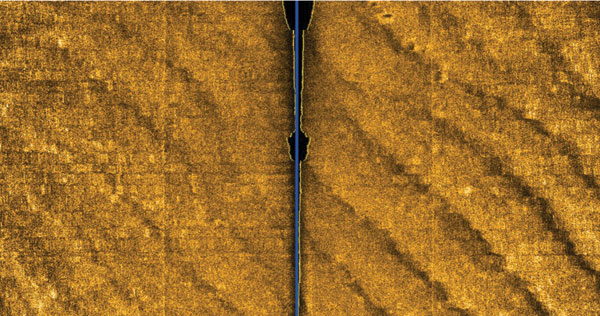
This side scan sonar image shows near-shore sand ridges associated with the Last Glacial Maximum. The track of the side-scan sonar is in the center (shown as a blue line). Image courtesy of Exploring the Submerged New World 2009 Expedition, MAI, NOAA-OER.
Related LinksExploring the Submerged New World 2009