

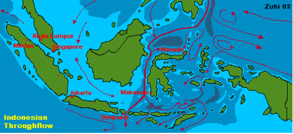
A map of the Indonesian Throughflow. The red lines show the directions of current flow; the thicker lines represent a greater volume of water moving in the direction of the arrows. Image courtesy of www.starfish.ch, with permission from Teresa Zubi
Related Links
2007: Exploring the Inner Space of the Celebes Sea
2007: Exploring the Inner Space of the Celebes Sea: Speciation