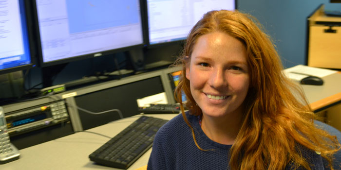
Meet Caroline Cooper
Caroline Cooper is an Explorer-in-Training who analyzed the ocean floor using data collected from NOAA Ship Okeanos Explorer at the Center for Coastal Ocean Mapping Joint Hydrographic Center in the Exploration Command Center at the University of New Hampshire. Read the full text of Caroline’s interview below to learn more about her experience.
About Caroline's Role
Where were your duties as an Explorer-in-Training?
As a shore-based Explorer-in-Training, my duties entailed communicating with the scientific party aboard the Okeanos Explorer, monitoring the bathymetric survey, and processing the raw data to generate different bathymetric products. I also learned how to visualize bottom and water column backscatter sonar data, as well as subbottom profiler data.
Which school are you attending?
I recently graduated from the College of Charleston in May 2016 with a Bachelor of Science degree in Marine Biology.
Where was your work experience located? If you were working at sea, what were your impressions of living and working on a ship?
I was working from the Exploration Command Center located in the University of New Hampshire’s Center of Coastal and Ocean Mapping/Joint Hydrographic Center.
What sparked your initial interest in ocean sciences?
I grew up in Myrtle Beach, South Carolina, where the Atlantic Coast was at my fingertips. I liked the ocean when I was little, but my love for it developed after learning how to surf. Every day became a beach day for me. It seemed only logical to transfer this innate passion into my studies. My interest in this field grows with every new ocean discovery I learn about and every new coast I travel to.
What was the most personally rewarding part of your experience?
It is amazing to know I am one of the first people to see these features on the seafloor in multibeam. We are mapping in 1,000 to 5,000 meters of water over seamounts that are millions of years old. The sonar information we are gathering is just the framework for more geological and biological discoveries within our oceans. It is rewarding to be able to say I was a part of it.
Please describe your final project.
The Okeanos Explorer’s mission during this cruise was to continue mapping seamounts in and around the Wake Island Unit of the Pacific Remote Islands Marine National Monument, now known as Pacific Islands Heritage Marine National Monument. We mapped five seamounts during this cruise. On shore at the Exploration Command Center, we post-process the ship’s sub-bottom, water column, and multibeam bathymetry data. From there we combine these data sets and analyze the seamounts individually to characterize their features. I was responsible for generating a focused GIS project of the sonar data collected at the unnamed seamount “S5.”
How do you see this experience fitting in with your future career plans?
During my time here, President Obama expanded the Papahānaumokuākea Marine National Monument, making it the largest marine protected area to date. This act was due to the collective effort of locals, scientists, and the recent data collected by NOAA and other ocean exploration efforts, including the R/V Falkor. It seems every sea lover has the universal goal to protect and preserve our oceans. Seeing that this field could allow me to make such an immediate and direct difference, made me definitely want more oceanographic exploration experiences in my future.