Submarine Landslides
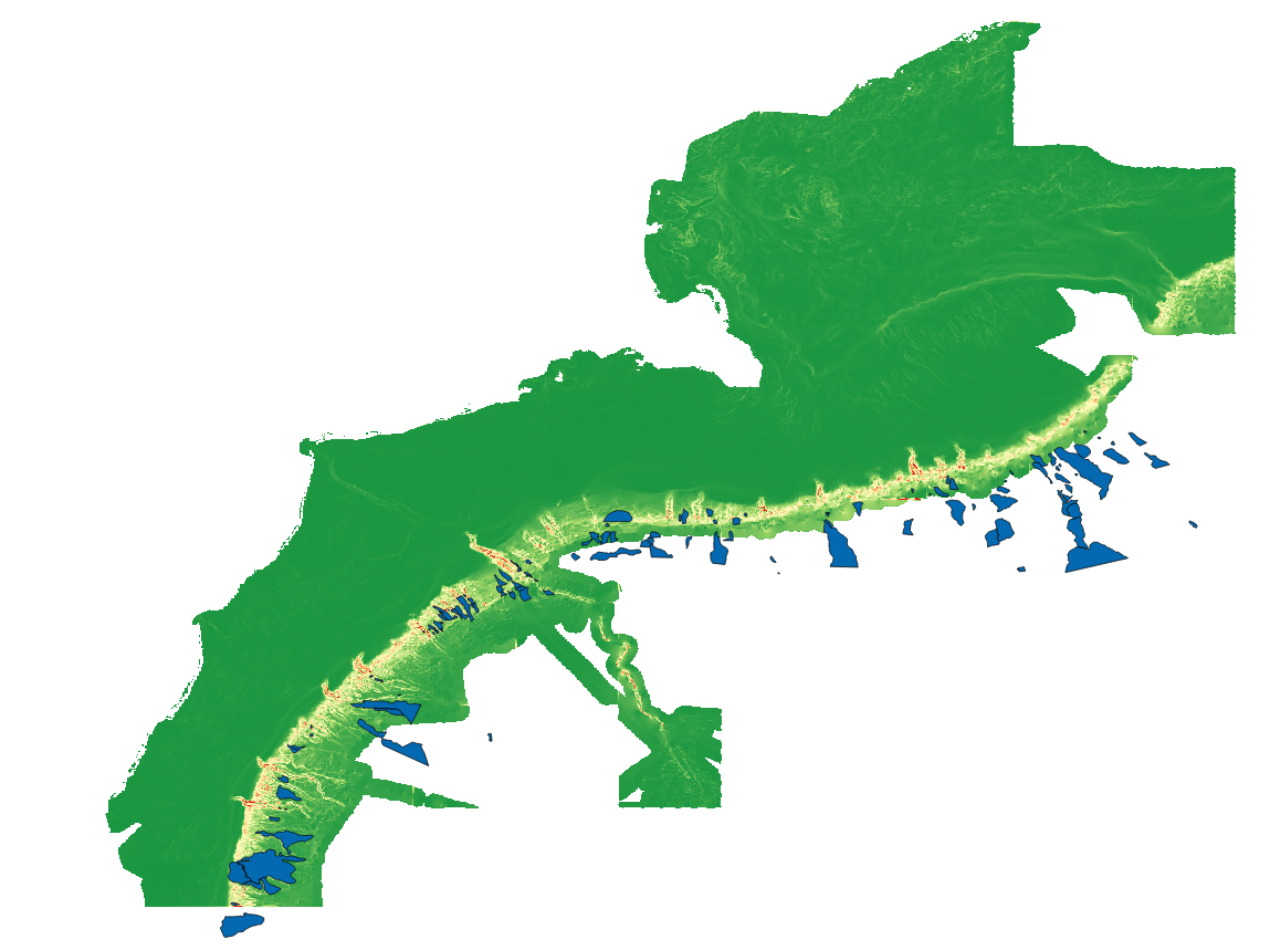
Submarine landslide locations (blue polygons) in Northeastern U.S. Atlantic waters displayed over a map of seafloor slope (green is gently sloping, red is steeply sloping). Landslides were mapped by Jason Chaytor, U.S. Geological Survey. Landslides generally occur on steep slopes at the shelf edge, sometimes within submarine canyons. Documented landslide locations are used as observations for predictive modeling, and seafloor slope is a highly correlated predictor.
 in Northeastern U.S. Atlantic waters displayed over a map of seafloor slope (green is gently sloping, red is steeply sloping). Landslides were mapped by Jason Chaytor, U.S. Geological Survey. Landslides generally occur on steep slopes at the shelf edge, sometimes within submarine canyons. Documented landslide locations are used as observations for predictive modeling, and seafloor slope is a highly correlated predictor.")