Loading the player...
Dive 13: Exploring the Graveyard
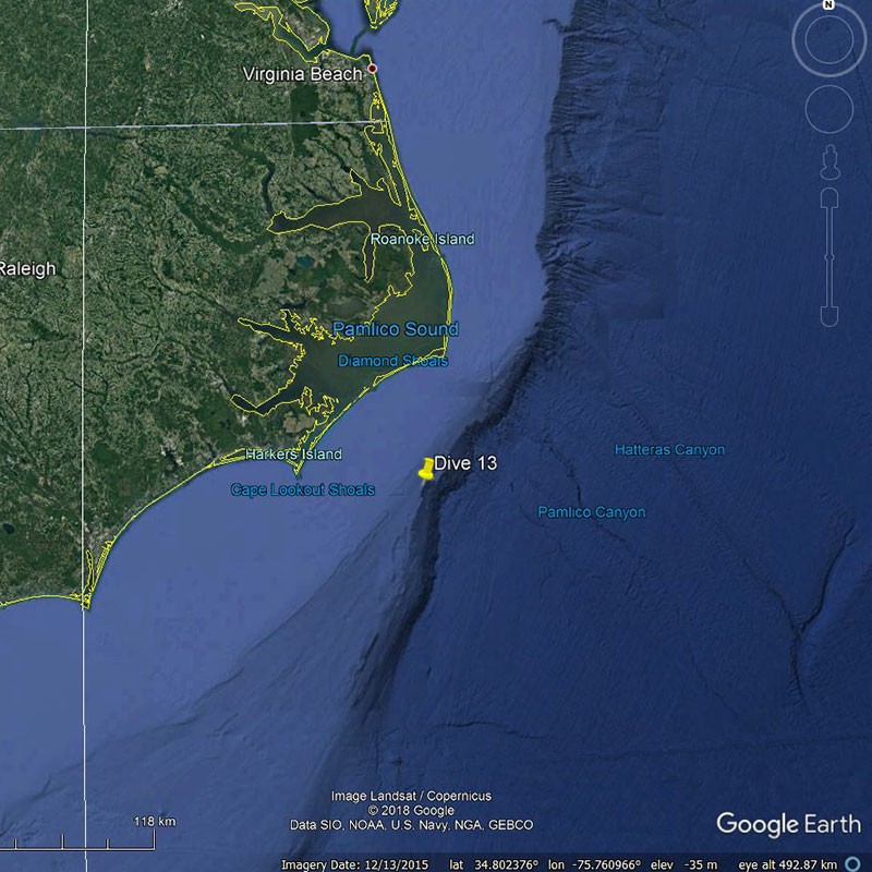
On June 24, 2018, NOAA Ship Okeanos Explorer mapped the seafloor offshore North Carolina near the Monitor National Marine Sanctuary, locating a sonar anomaly that had the potential to be a shipwreck. On June 27, the team returned to the area to determine what the "Big Dipper" anomaly actually is by conducting a visual survey using remotely operated vehicles (ROV) Deep Discoverer and Seirios.
Video courtesy of the NOAA Office of Ocean Exploration and Research, Windows to the Deep 2018. Download larger version (mp4, 49.8 MB).
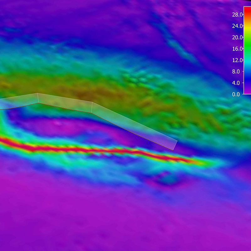
Exploring anomalies in sonar data is true exploration because you never know what you will find – be it an archaeology site, a geological formation, or otherwise! The “Big Dipper” Anomaly was first identified a couple of days ago during this Windows to the Deep 2018 expedition when the mapping team measured strong reflections in multibeam sonar off a somewhat vessel-shaped bump in the seafloor. This bump also had a 700-meter (about 2,297 feet) long scour behind it from the strong current in the area. Similar scours have been observed on other previously discovered shipwrecks in the area. Additional multibeam sonar water column data collected only four hours prior to the dive today additionally showed strong backscatter returns in the water column, suggesting that there was a hard feature above the seafloor.
This area was a hot spot of activity during World War II’s Battle of the Atlantic, leading archaeologists to speculate that these strong returns could be a shipwreck. However, on closer inspection, the mission team learned that this feature was geologic in origin, comprising of exposed slabs of rocks that supported a diverse array of fauna. The beauty of telepresence is that the diverse onshore team of experts for this expedition is dynamic, and dive participants quickly switched from archaeologists to biologists and geologists and we continued on with a great dive surveying the seafloor.

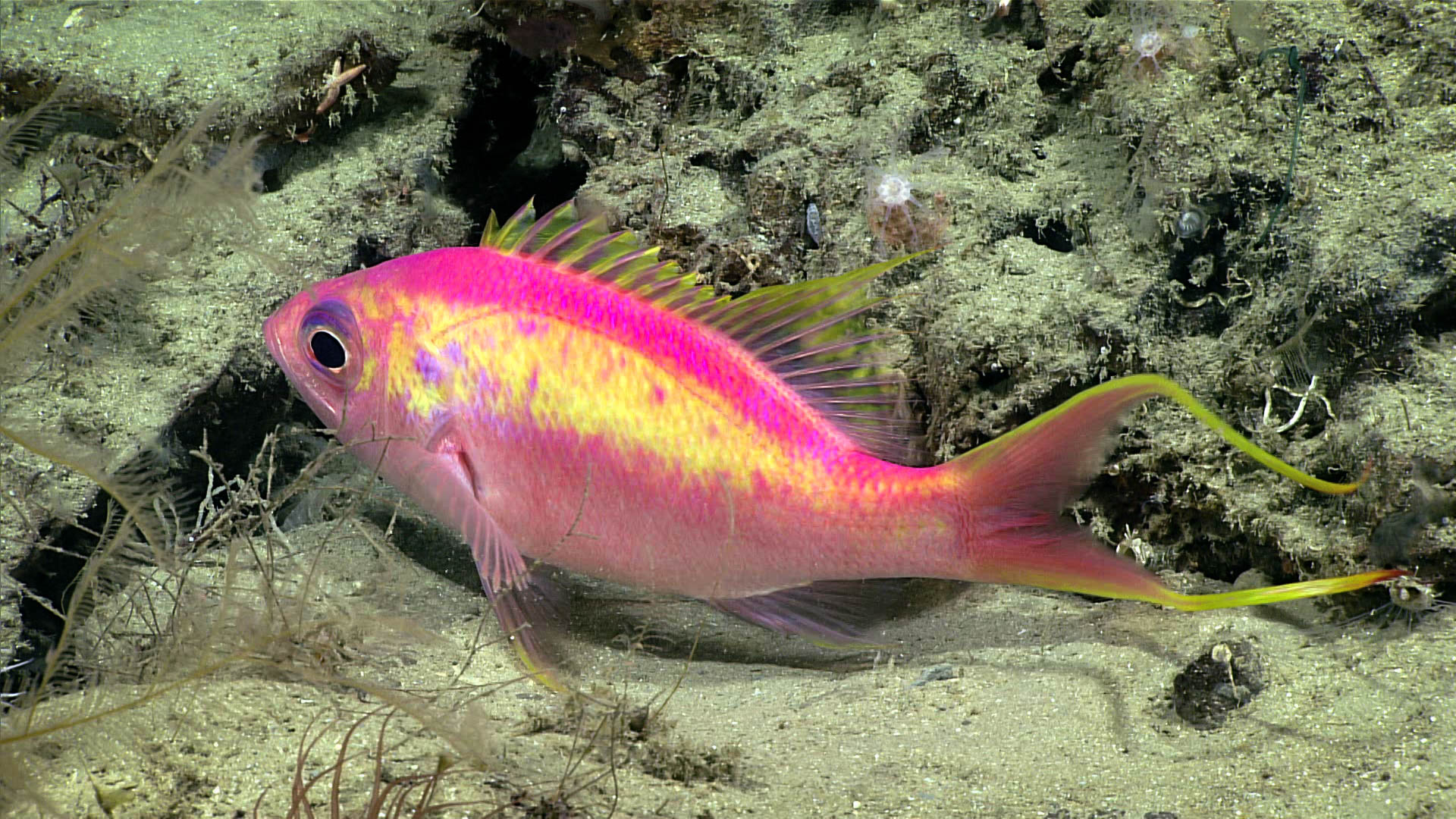
This Anthias woodsi swallowtail bass was imaged during Dive 13 of the Windows to the Deep 2018 expedition. Image courtesy of the NOAA Office of Ocean Exploration and Research, Windows to the Deep 2018. Download larger version (jpg, 890 KB).
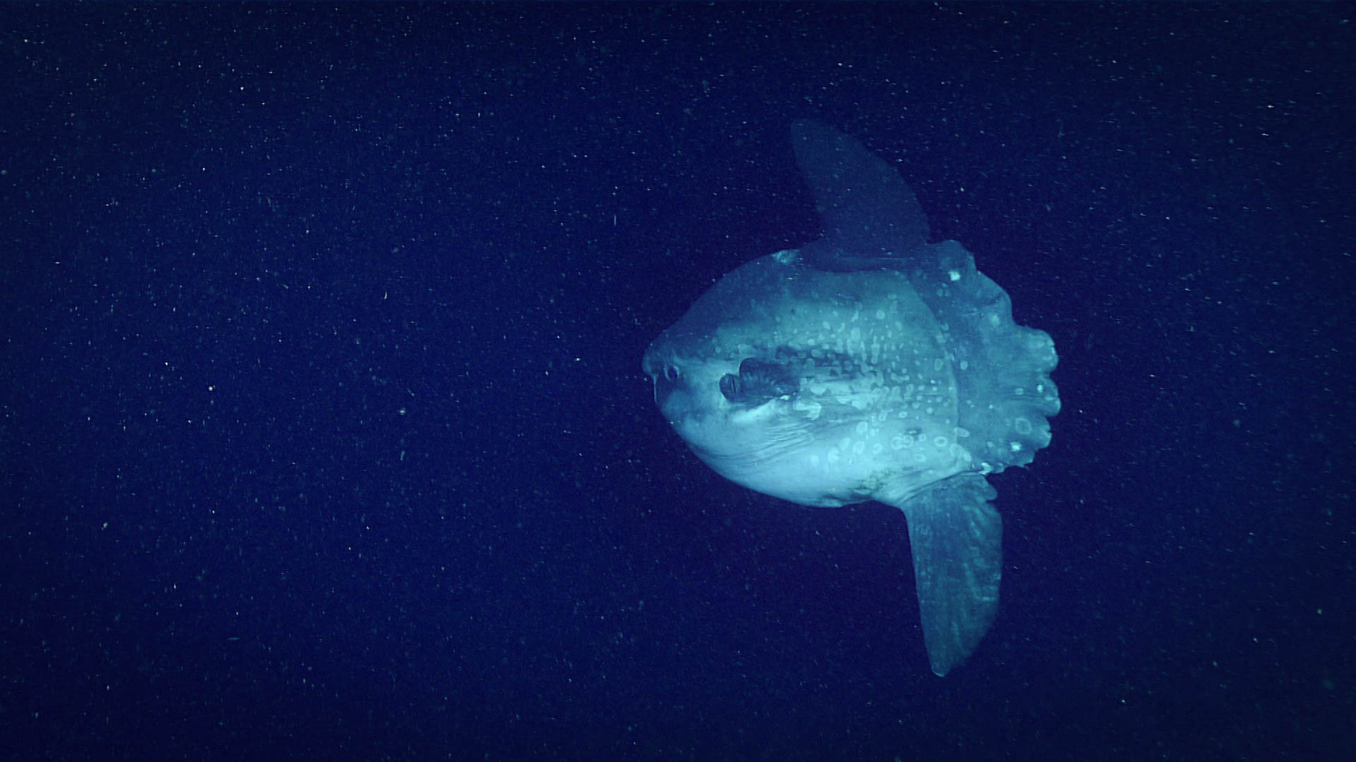
The remotely operated vehicle (ROV) Deep Discoverer was exploring the seafloor from 13:14:47 - 20:15:38 UTC. The dive started at 367 meters (1,204 feet) on sandy/muddy bottom. As the ROV approached the area of the anomaly, the seafloor changed to exposed slabs of rock and interspersed debris. The dive concluded at around 333 meters (about 1,093 feet) depth. This dive site had a strong current and many particulates in the water column that might have supported the diverse array of fauna seen. The ROV observed many squid in the water column, octopus, conger eels, crabs including spider crabs and squat lobsters, brachiopods, anemones, sea cucumbers including a rarely observed species that adheres to rocks, gooseneck barnacles, many blackbelly rosefish, gastropods, swallowtail bass (Anthias woodsi), scorpion fish, sea stars, octocorals, stony corals, hydrozoa, southern hake, and goosefish (an anglerfish). A highlight of this dive was a rare sighting of an ocean sunfish (Mola mola). A dead short finned squid was also imaged during the dive, an important observation for understanding the carbon transport to the deep ocean seafloor. As these squid die, they sink to the bottom and contribute carbon to the benthic ecosystem. One rock and three biology samples of an anemone, an octocoral, and a potential corallimorpharian, which was a very rare find, were collected during the dive for further identification. Once available, review the dive summary for an overview of the dive and more information on these samples.
With the dive complete, NOAA Ship Okeanos Explorer is headed to Hatteras Canyon for Dive 14 of the expedition. The ship will be mapping along the way, looking out for more anomalies waiting to be discovered.


