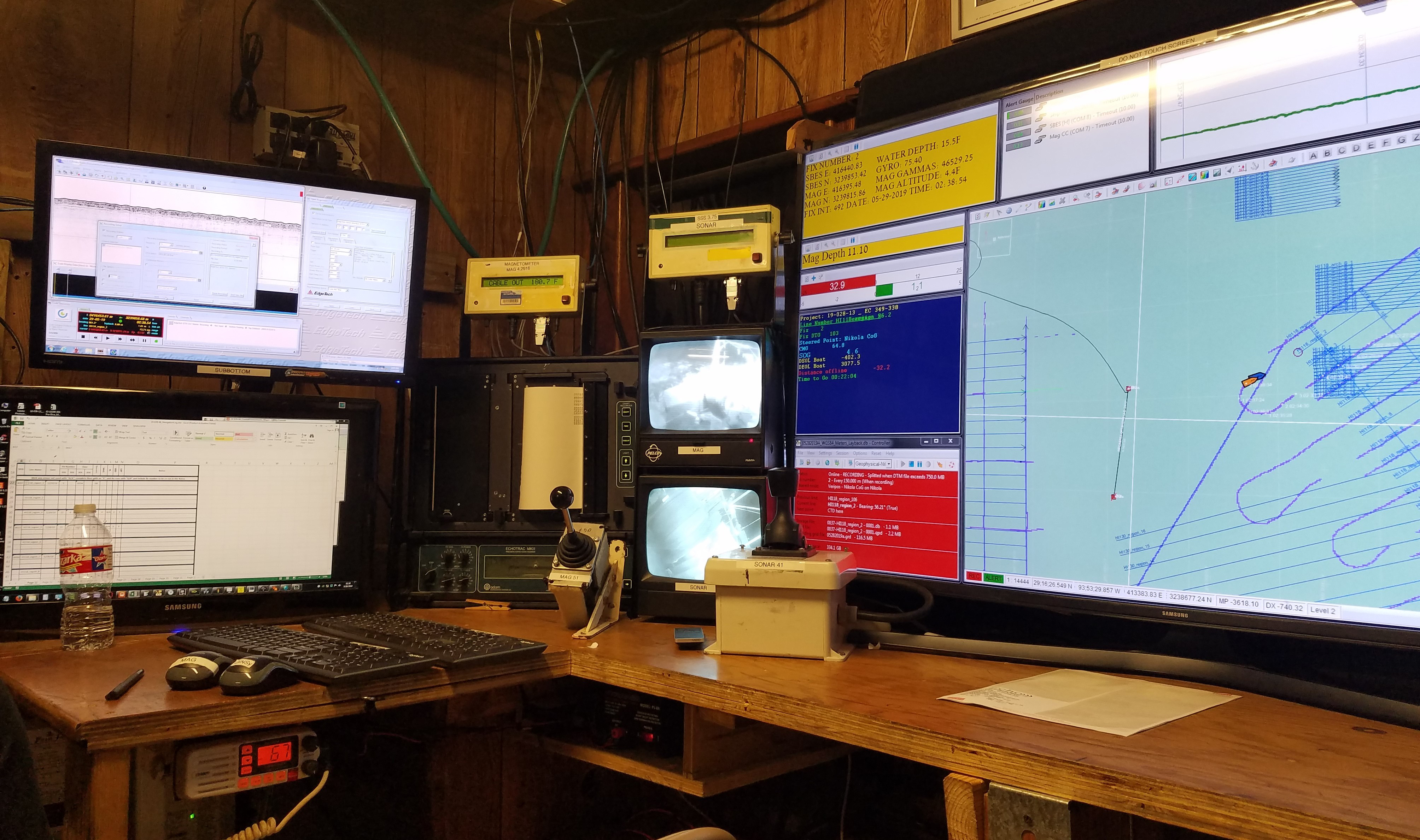
The primary survey station includes multiple computers logging various data sets; the vessel’s navigation track is visible at right.
