
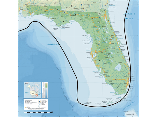
A modern map of Florida shows (with a dark line) the approximate location of the Last Glacial Maximum (LGM) coastline. Image courtesy of Exploring the Submerged New World 2009 Expedition, NOAA-OER.
Related Links
A modern map of Florida shows (with a dark line) the approximate location of the Last Glacial Maximum (LGM) coastline. Image courtesy of Exploring the Submerged New World 2009 Expedition, NOAA-OER.
Related Links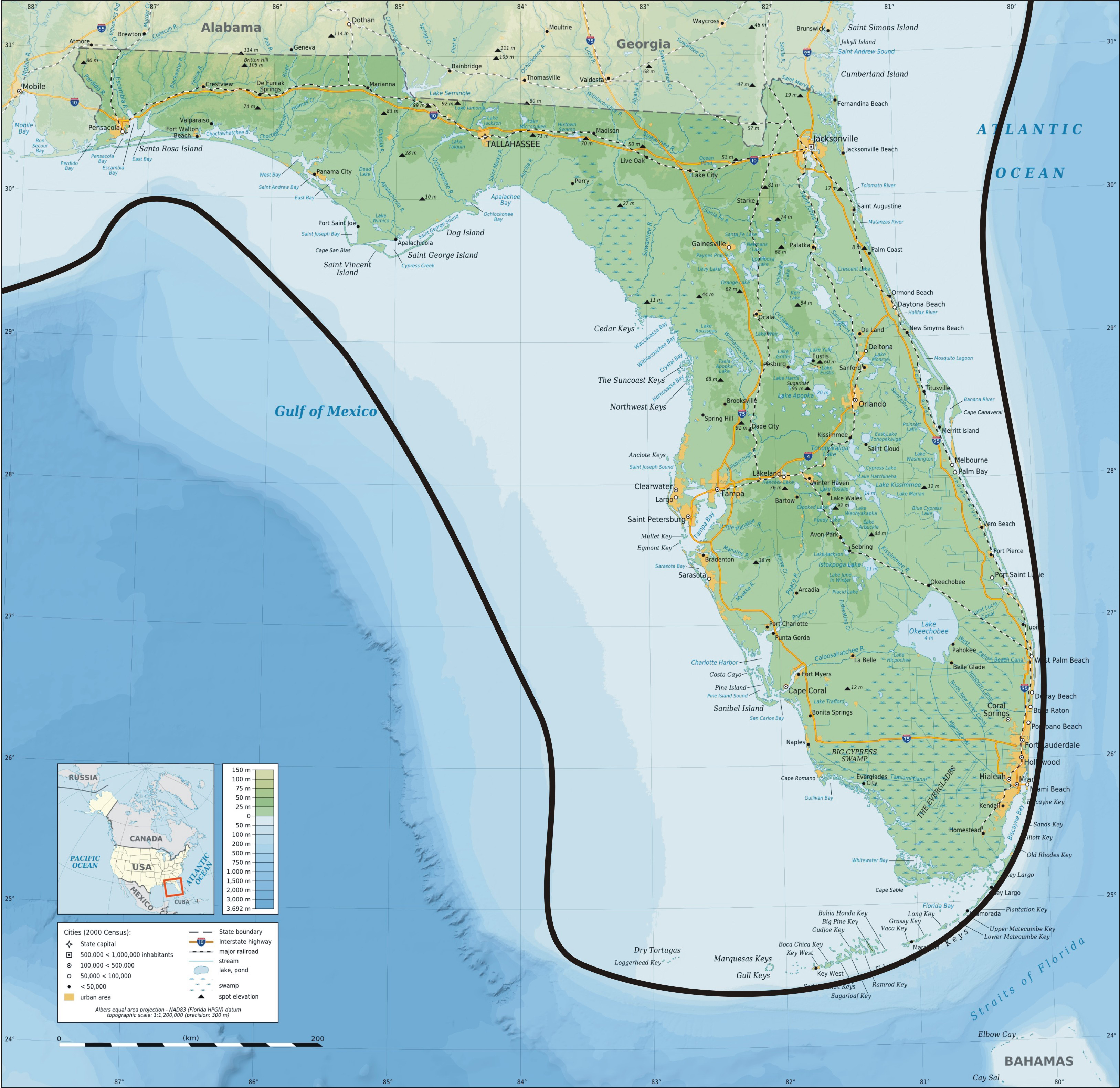