
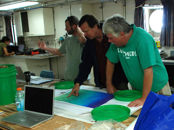
From left to right: Erik Cordes, Chuck Fisher, and Bill Shedd look at high quality multibeam bathymetry (water depth) maps to locate probable sites. Image courtesy of Lophelia II 2009: Deepwater Coral Expedition: Reefs, Rigs and Wrecks.

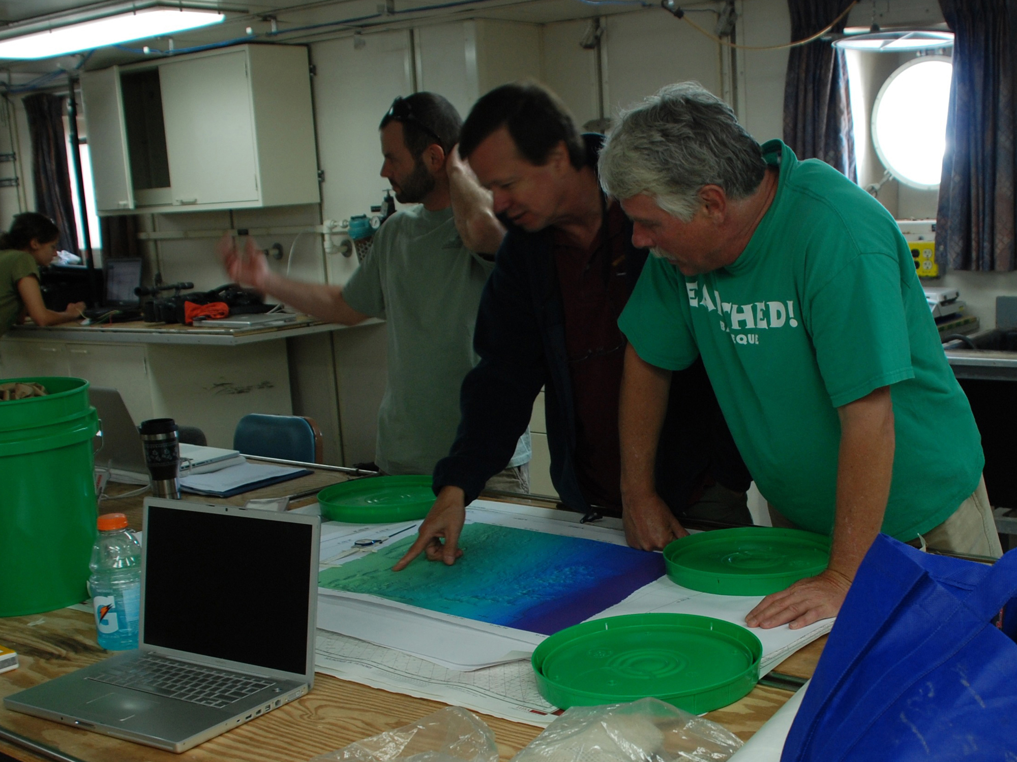
From left to right: Erik Cordes, Chuck Fisher, and Bill Shedd look at high quality multibeam bathymetry (water depth) maps to locate probable sites. Image courtesy of Lophelia II 2009: Deepwater Coral Expedition: Reefs, Rigs and Wrecks.