
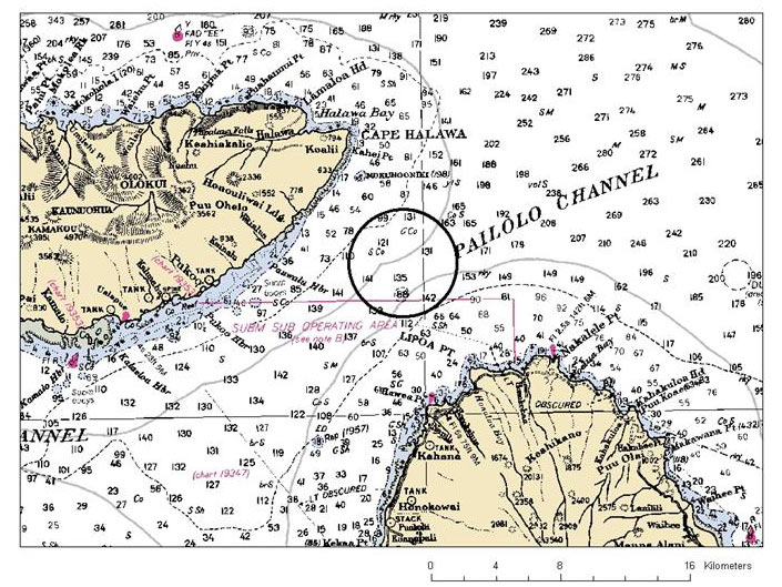
Fig 2: Nautical chart showing the location of the new proposed restricted fishing area for bottomfish where the LLS survey will be conducted. Image courtesy of Chris Kelley.

Fig 2: Nautical chart showing the location of the new proposed restricted fishing area for bottomfish where the LLS survey will be conducted. Image courtesy of Chris Kelley.