

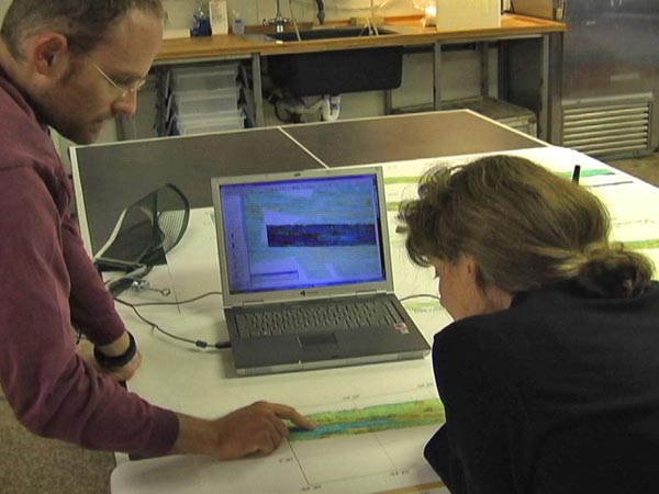
Co-PI, Scott White, and Chief Scientist, Rachel Haymon, look at one of the higher resolution bathymetric maps created during the first week of the cruise to choose track lines to fly the DSL120 over for future data collection. Image courtesy of UCSB, Univ. S. Carolina, NOAA, WHOI.
Related Links
GalAPAGoS: Where Ridge Meets Hotspot
GalAPAGoS: Where Ridge Meets Hotspot - Jan 5 Log