

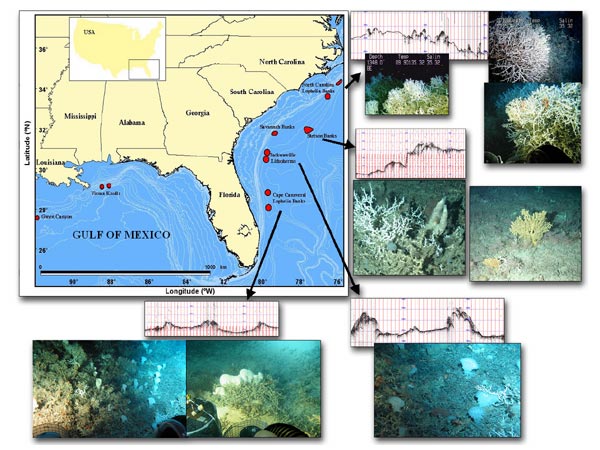
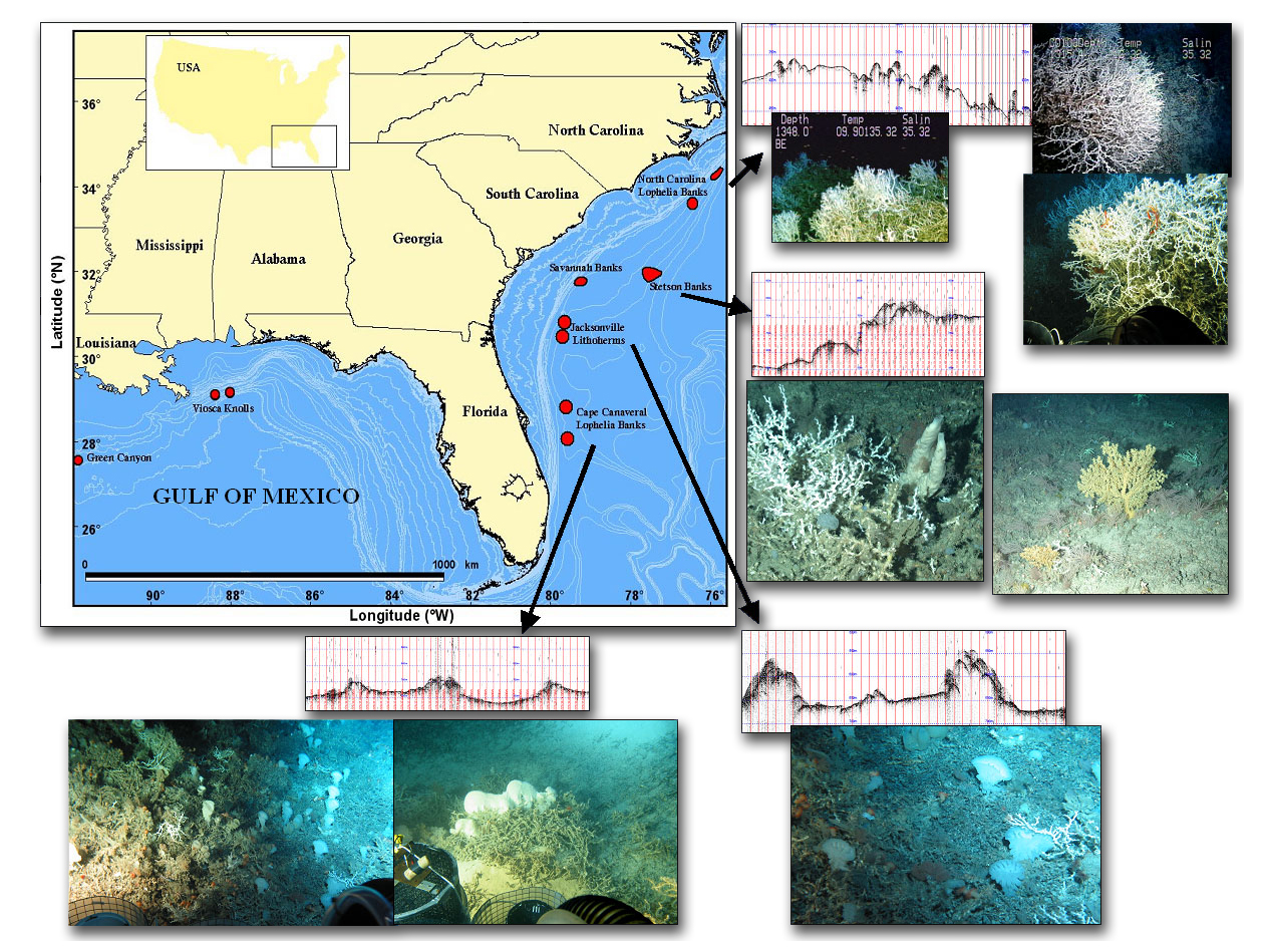
Figure 1. This map of the southeastern US and Gulf of Mexico shows our current study areas (red). The graphs above the pictures are from the research ship’s single beam sonar and illustrate the rough nature of the bottom. The pictures are representative of the areas and show a variety of mixed coral habitats. Note that these study sites are not the only locations of deep corals in the region; there are many more. Image courtesy of Ross et al, NOAA-OE, HBOI.
Related Links
Life on the Edge 2005 - The World of Deep-Sea Corals
Download high-resolution image (jpg, 1 Mb)