Back
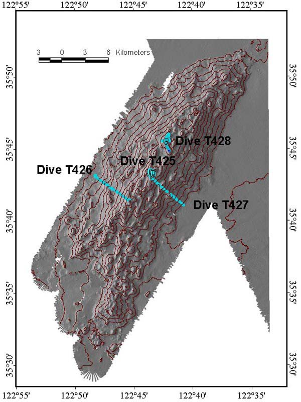
Bathymetric contour map of the Davidson Seamount, showing the dive tracks for each day. Image courtesy of Davidson Seamount Exploration 2002, NOAA/OER.
Davidson Seamount 2002 May 23 Log NOAA Ocean Explorer Gallery
Davidson Seamount 2002
May 23 Log
NOAA Ocean Explorer Gallery