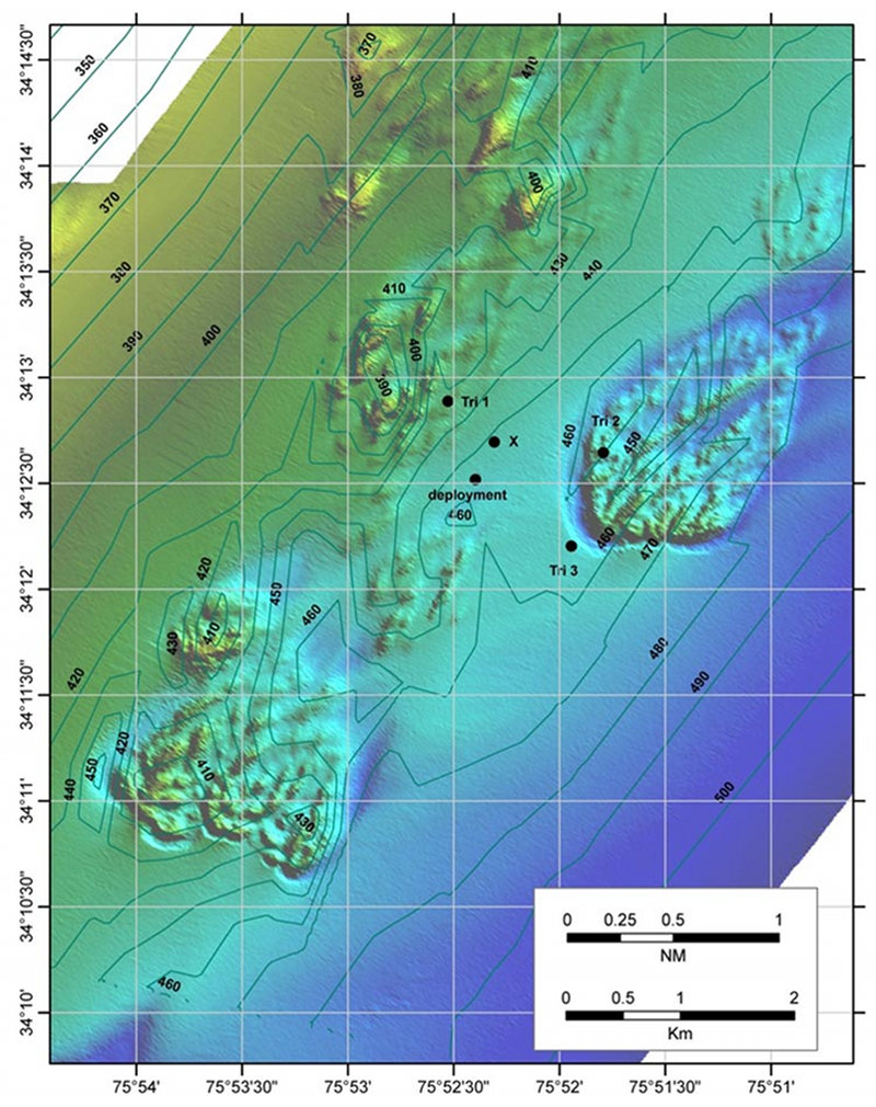

Multibeam sonar map of a deep-sea coral area off Cape Lookout, North Carolina. The black dot near the center marked "deployment" is the surface position where a benthic lander was dropped. Three dots marked "Tri 1-3" are surface locations used to take range data to the lander. The dot marked "X" is the bottom position for the lander calculated from the range triangulations.