

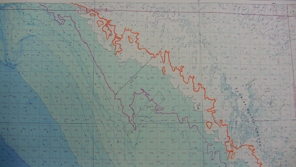
These lines represent the edge of the Clovis continent dating from roughly 13,400 to 13,100 years ago. Up to 25 kilometers (16 miles) of land was inundated (covered with water) in less than 300 years, which would have forced people and animals inland to higher ground. The research Sub-Areas 1, 2, and 5 straddle the Clovis and Pre-Clovis coasts and would have been accessible to humans 13,000 years ago and earlier. Image courtesy of Exploring the Submerged New World 2009 Expedition, NOAA-OER.
Related LinksExploring the Submerged New World 2009