

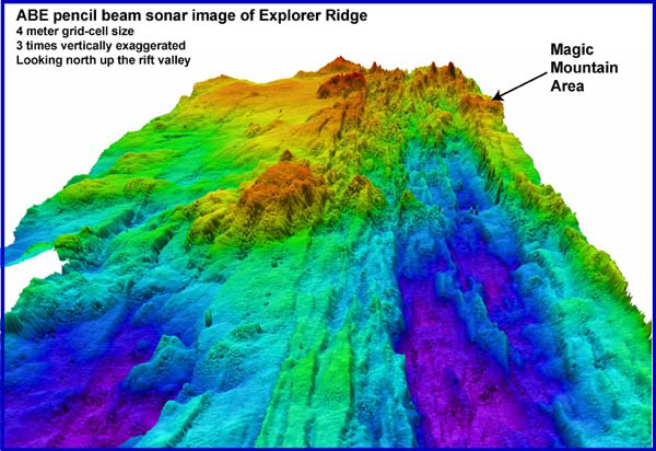
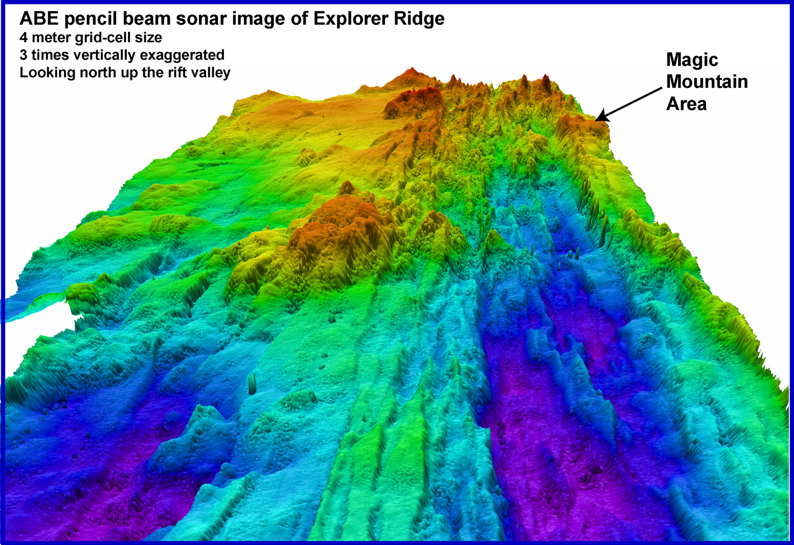
ABE Imagenex pencil-beam sonar image showing the crest of Southern Explorer Ridge and the location of Magic Mountain hydrothermal site. The image is gridded at 4 meter pixel cell size. Purple and dark blue colors indicate deepest depths. Note that the position of Magic Mountain is on the flank of the axial rift valley. Image courtesy of Submarine Ring of Fire 2002, NOAA/OER.