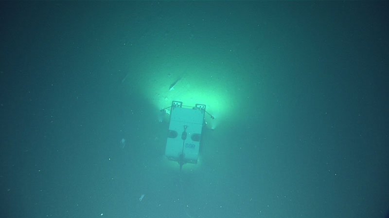
During the expedition, the team observed evidence of submarine landslides at a number of different scales and locations via remotely operated vehicle Deep Discoverer. Some top geology highlights included the first look at a likely recent event, possibly related to the deadly 1946 tsunamigenic earthquake, and landslide headwalls and extensive areas of mass-wasting on the walls of Noyes Canyon, less than 10 miles from the Queen Charlotte fault and the epicenter of the 2013 earthquake, which had a magnitude of 7.5. This photo was taken during Dive 12 at Noyes Canyon.
Evidence of Submarine Landslides
Image courtesy of NOAA Ocean Exploration, Seascape Alaska. Download larger version (jpg, 538 KB).

During the expedition, the team observed evidence of submarine landslides at a number of different scales and locations via remotely operated vehicle Deep Discoverer. Some top geology highlights included the first look at a likely recent event, possibly related to the deadly 1946 tsunamigenic earthquake, and landslide headwalls and extensive areas of mass-wasting on the walls of Noyes Canyon, less than 10 miles from the Queen Charlotte fault and the epicenter of the 2013 earthquake, which had a magnitude of 7.5. This photo was taken during Dive 12 at Noyes Canyon.