
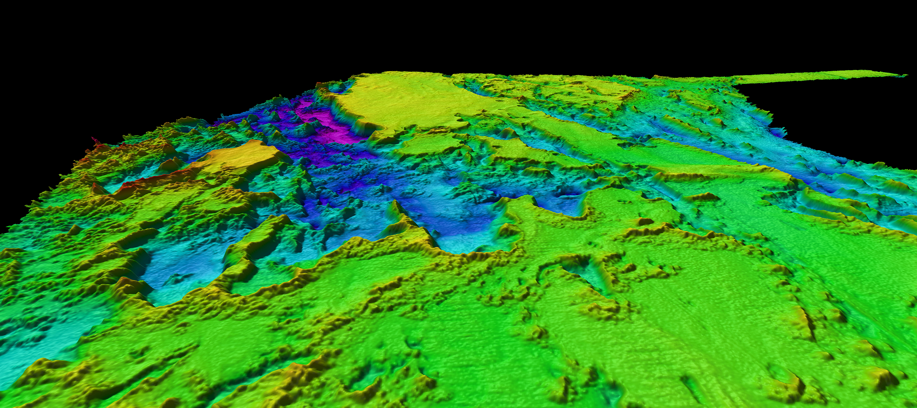
Multibeam bathymetry collected on a previous mapping expedition to the southeastern U.S. continental margin revealed complex seafloor features. Expedition planners will use previously collected data like this to help identify priority mapping areas and remotely operated vehicle dive locations.