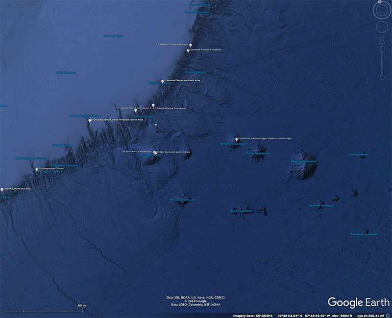
Plan (overhead) view of submarine canyons and seamounts that seafloor mapping and remotely operated vehicle dives will be conducted on as part of the Deep Connections 2018 expedition. The location of submarine canyons and seamounts in such close proximity provides an excellent opportunity to study them side-by-side. Figure generated from Google Earth.
Expedition Map
Image courtesy of the NOAA Office of Ocean Exploration and Research. Download larger version (jpg, 1.2 MB).
Plan (overhead) view of submarine canyons and seamounts in the northeast Atlantic. The location of submarine canyons and seamounts in such close proximity provides an excellent opportunity to study them side-by-side. Figure generated from Google Earth.
Learn more