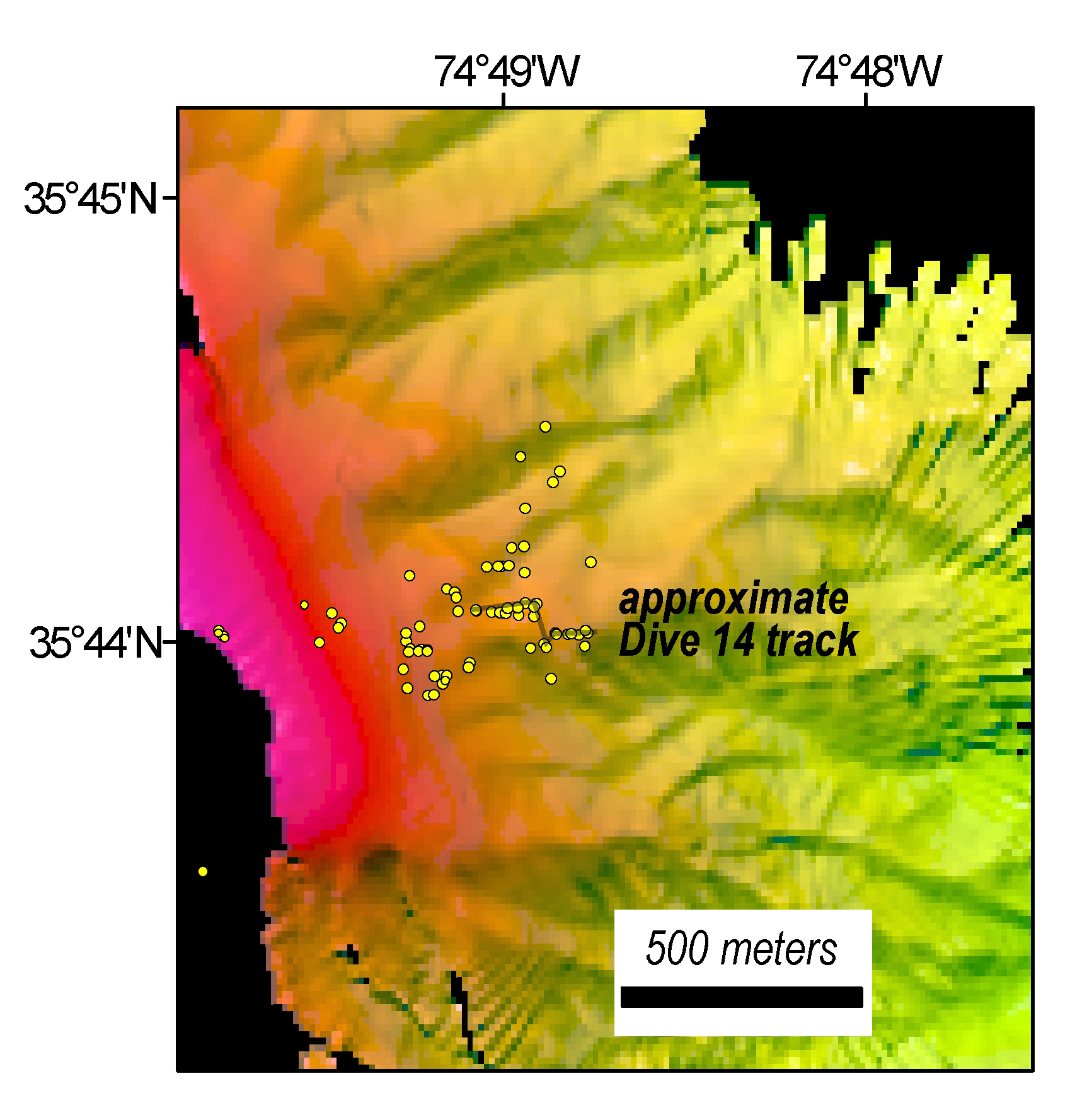
New bathymetric data acquired by NOAA Ship Okeanos Explorer with the location of methane seeps identified since 2012 shown as yellow circles.  The dive track covered about 55 meters along the ridgeline.  Pink shading at the left side of the map is approximately 150-180 meters water depth.
Seep Bathymetry
Image courtesy of the NOAA Office of Ocean Exploration and Research, Windows to the Deep 2019. Download larger version (jpg, 1.2 MB).
New bathymetric data acquired by NOAA Ship Okeanos Explorer with the location of methane seeps identified since 2012 shown as yellow circles. The dive track covered about 55 meters (180 feet) along the ridgeline. Pink shading at the left side of the map is approximately 150-180 meters (490-590 feet) water depth.
Learn more