-

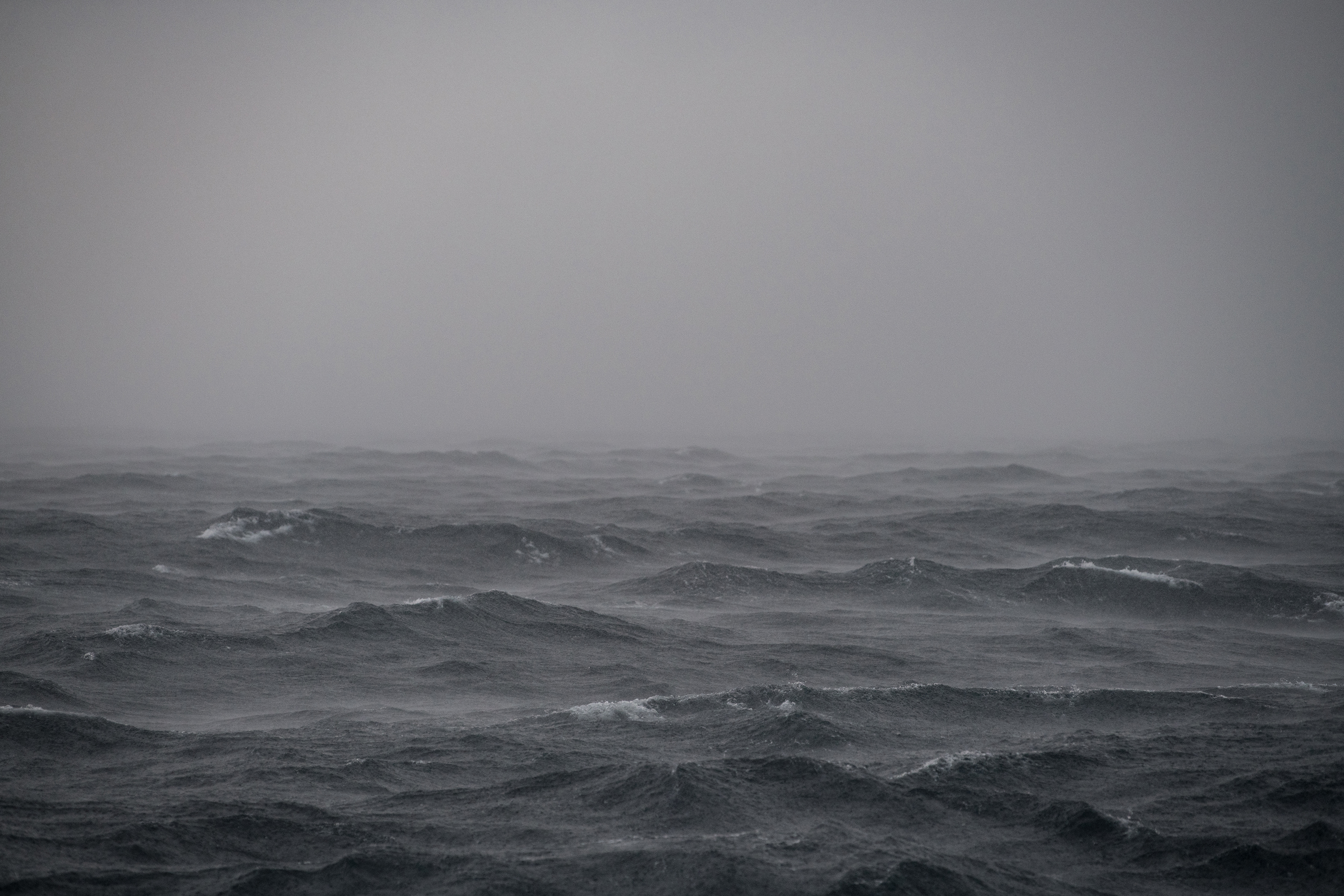
High seas prevented the deployment of the ROVs. Image courtesy of Caitlin Bailey, Global Foundation for Ocean Exploration, Exploring Deep-sea Habitats off Puerto Rico and the U.S. Virgin Islands. Download larger version (jpg, 3.3 MB).
-

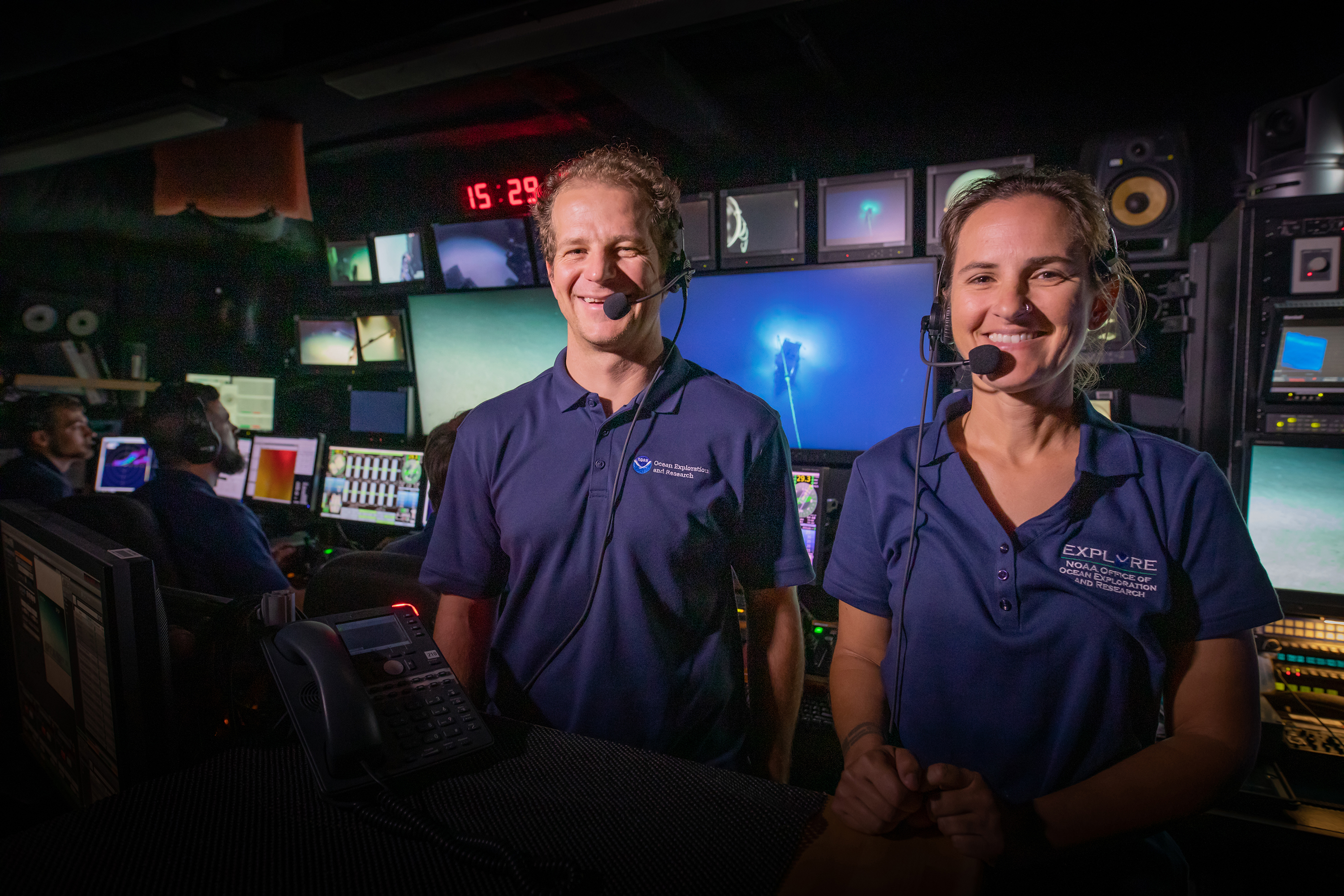
Daniel Wagner and Stacey Williams in the control room during a live interaction with the EcoExploratorio Science Museum in Puerto Rico. Image courtesy of Art Howard, GFOE, Exploring Deep-sea Habitats off Puerto Rico and the U.S. Virgin Islands. Download larger version (jpg, 3.7 MB).
-

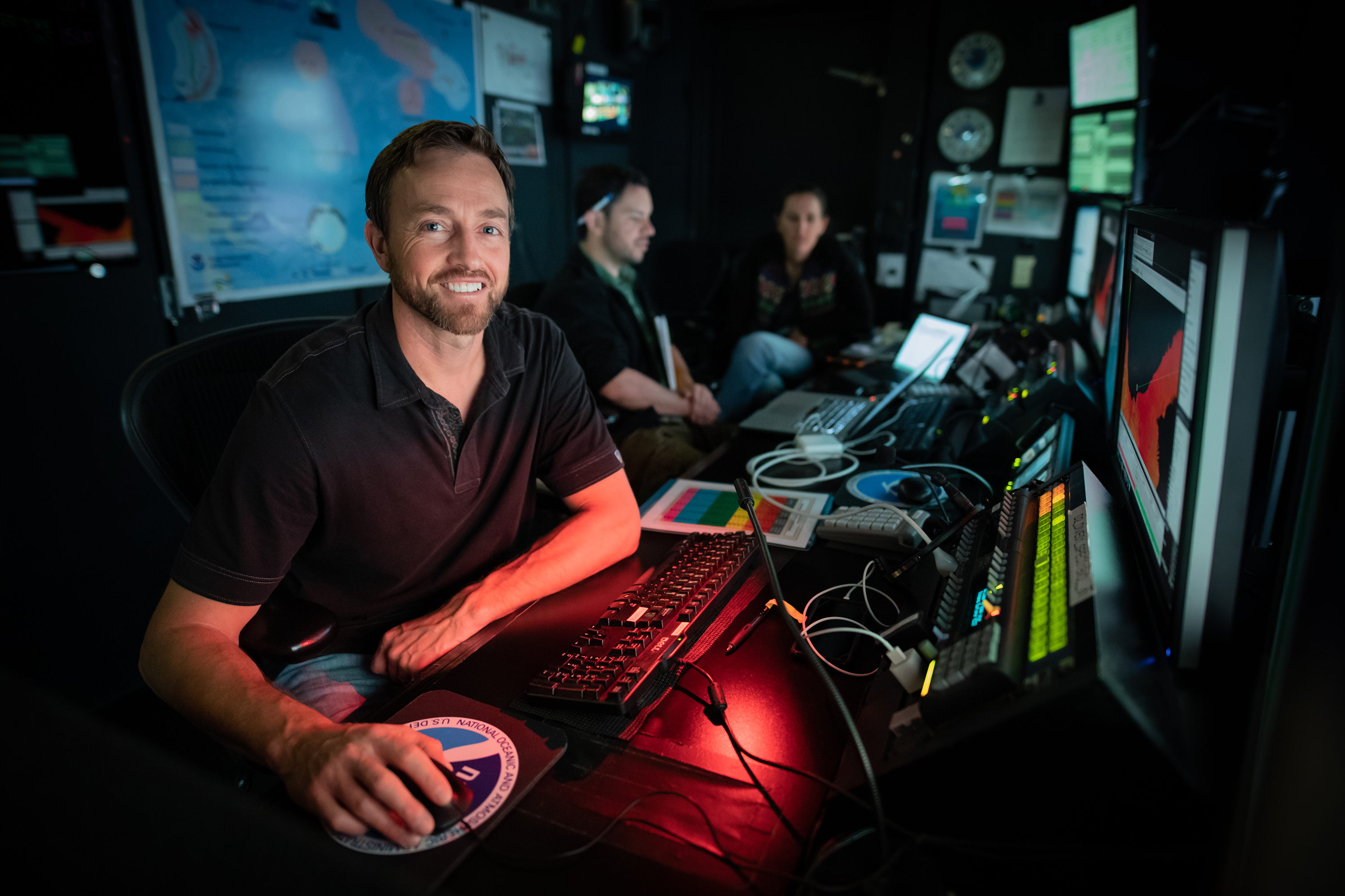
Mapping lead Derek Sowers in the control room of NOAA Ship Okeanos Explorer. Image courtesy of Art Howard, GFOE, Exploring Deep-sea Habitats off Puerto Rico and the U.S. Virgin Islands. Download larger version (jpg, 2.6 MB).
-

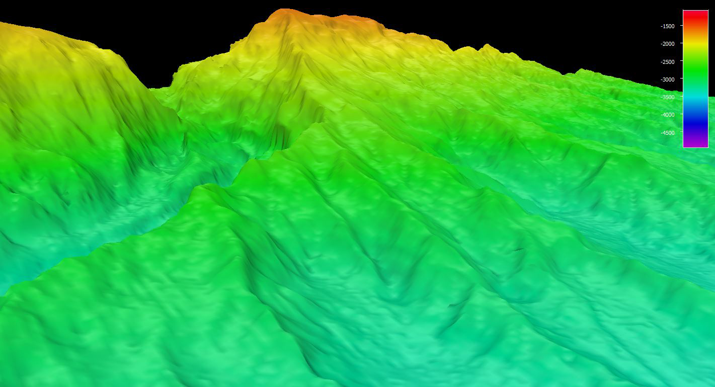
High-resolution bathymetry mapping data collected by the multibeam sonars of NOAA Ship Okeanos Explorer revealed complex topographic features around Saba Valley. Image courtesy of the NOAA Office of Ocean Exploration and Research, Exploring Deep-sea Habitats off Puerto Rico and the U.S. Virgin Islands. Download larger version (jpg, 334 KB).
