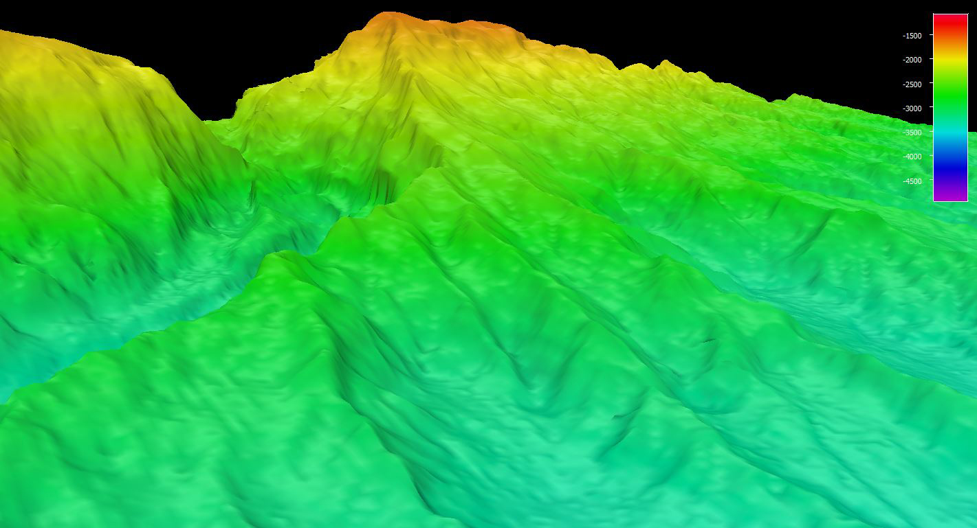
Image courtesy of the NOAA Office of Ocean Exploration and Research, Exploring Deep-sea Habitats off Puerto Rico and the U.S. Virgin Islands.Download larger version (jpg, 334 KB).
High-resolution bathymetry mapping data collected by the multibeam sonars of NOAA Ship Okeanos Explorer revealed complex topographic features around Saba Valley.
