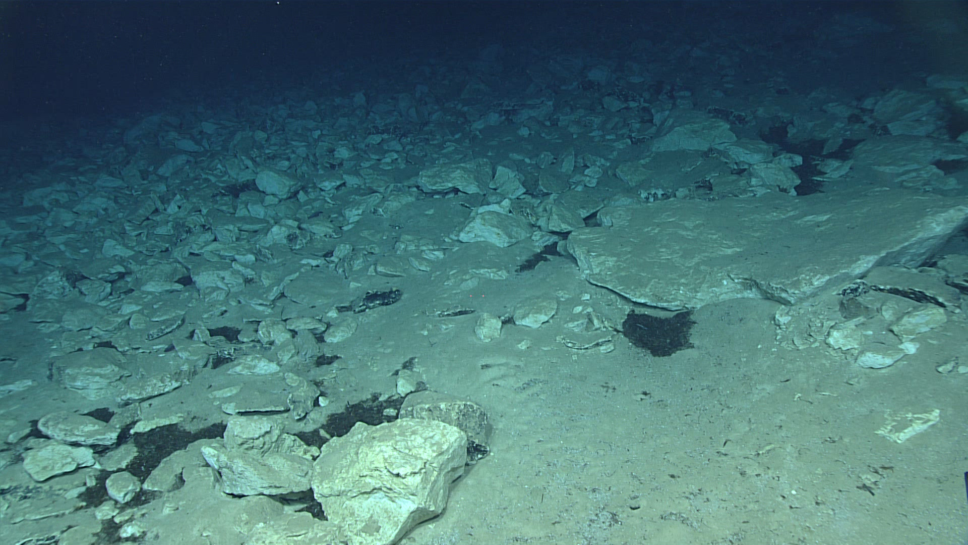
Upon landing on the seafloor, we encountered an extensive field of carbonate talus material that presumably fell down from the slope above. Image courtesy of the NOAA Office of Ocean Exploration and Research, Exploring Deep-sea Habitats off Puerto Rico and the U.S. Virgin Islands.Download larger version (jpg, 1.1 MB).
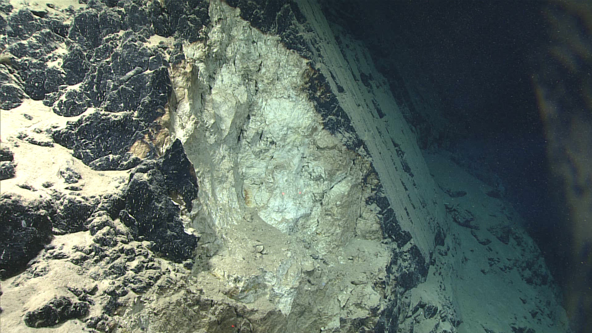
We recorded occasional failures in the slope where rocks has a lighter coloration, indicating more recent exposure to seawater. Image courtesy of the NOAA Office of Ocean Exploration and Research, Exploring Deep-sea Habitats off Puerto Rico and the U.S. Virgin Islands.Download larger version (jpg, 1.4 MB).
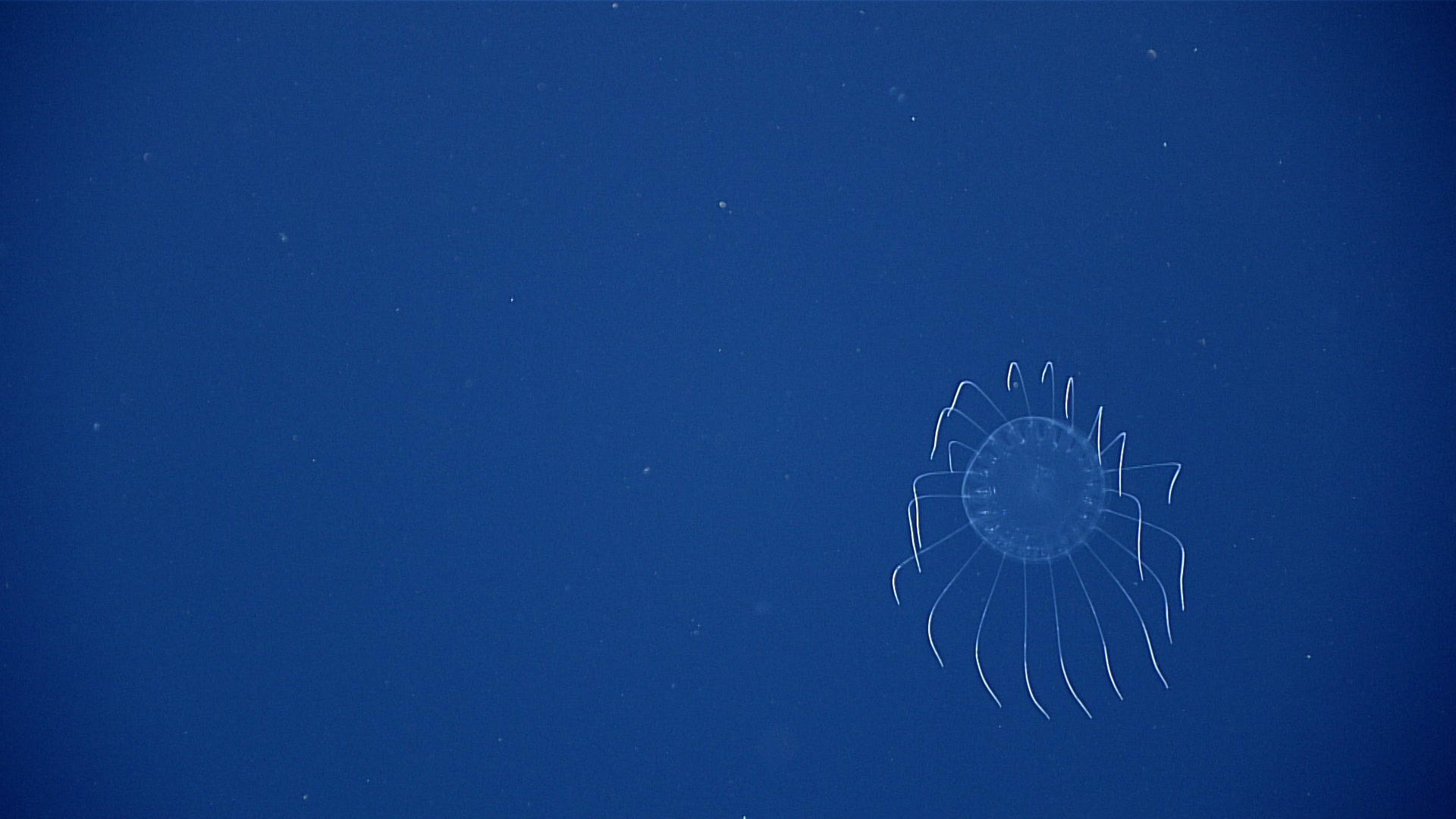
A medusa jellyfish recorded during the midwater portion of Dive 10. Image courtesy of the NOAA Office of Ocean Exploration and Research, Exploring Deep-sea Habitats off Puerto Rico and the U.S. Virgin Islands.Download larger version (jpg, 782 KB).
Today we conducted an extended 10-hour dive at Mona Canyon, which consisted of two parts with different exploration objectives. During the first part of the dive, we explored the geology of a giant landslide scarp at depths between 2,536-2,766 meters (8,320-9,075 feet), which is believed to have caused the major tsunami in 1918. This portion of the dive built on previous deep seafloor explorations of the area conducted by E/V Nautilus in 2013 and NOAA Ship Okeanos Explorer in 2015. The second part of the dive included a series of midwater transects at depths between 2,000 and 300 meters (6,560-985 feet) in order to explore the pelagic fauna of the area.
At the remotely operated vehicle landing site on the seafloor, we observed rocky carbonate talus material extending in a dense field upslope, ranging in size from cobble to boulder. Moving westward, the slope gradually increased by 35-40 degrees and we saw large blocky material below an area that may be a large rock failure.
The biology on this dive was remarkably sparse and consisted mostly of small and encrusting species. Only two coral colonies were observed during the entire dive, one Umbella sp. sea pen and one unbranched bamboo coral. Sponges were slightly more abundant and consisted mostly of encrusting species with few others in between. Other invertebrates seen on the seafloor included Benthodytes sp. sea cucumbers, a slime star (Hymenaster sp.), and a 10-armed crinoid. Only three species of fish were observed on the seafloor, one very large deep-sea lizardfish (Bathysaurus sp. greater than one meter in length), a tripod fish (Ipnops murrayi), and an unidentified cusk eel.
The midwater portion of the dive consisted of horizontal transects, 25 minutes in duration each, at depths of 2,000 meters (6,562 feet); 900 meters (2,953 feet); 700 meters (2,297 feet); 500 meters (1,640 feet); and 300 meters (984 feet). Organisms seen during these midwater transects included midwater fishes, euphausids, salps, medusae, ctenophores, larvaceans, and siphonophores.
On October 11, 1918, a devastating earthquake and tsunami struck Puerto Rico. One hundred years later, the debate on the source of this event continues. Until recently, many scientists agreed that the earthquake originated in the Mona Canyon and that the tsunami was a direct consequence of the earthquake rupture. However, reports of ruptured submarine telecommunication cables in the Mona Canyon in 1918, as well as the identification of landslide scars, deposits, and faults in other locations, have led to alternate proposals of the source of both the earthquake and tsunami. One of the objectives of the Océano Profundo 2018 expedition was to explore the deep-sea geology around Puerto Rico in order to shed some light on this enigma. Video courtesy of the NOAA Office of Ocean Exploration and Research, Exploring Deep-sea Habitats off Puerto Rico and the U.S. Virgin Islands.Download larger version (mp4, 88.5 MB).


