-
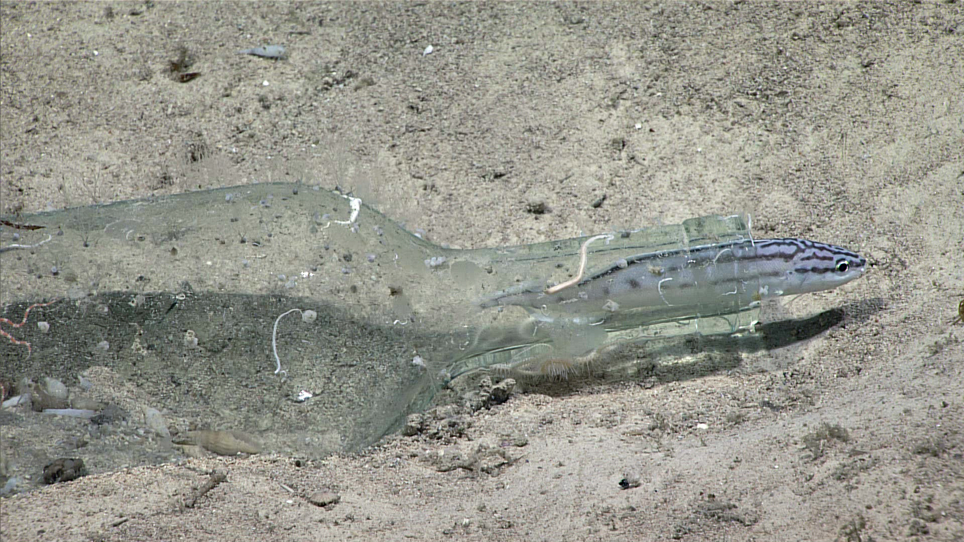
.")
A glass bottle serves a habitat for this little fish, a striped Brotula (Neobythites marginatus). Image courtesy of the NOAA Office of Ocean Exploration and Research, Exploring Deep-sea Habitats off Puerto Rico and the U.S. Virgin Islands. Download larger version (jpg, 1.4 MB).
-
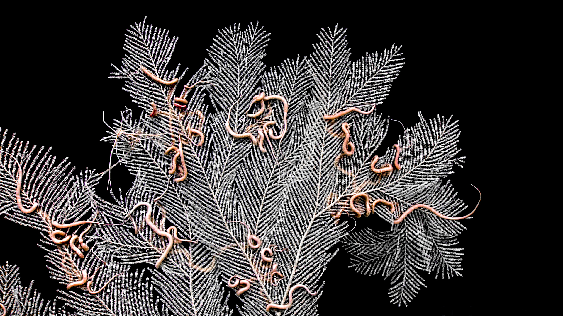
 with many brittle star associates was seen during dive 2 of the Océanos Profundo 2018 expedition.")
This octocoral (sea fan) with many brittle star associates was seen during Dive 2 of the Océanos Profundo 2018 expedition. Image courtesy of the NOAA Office of Ocean Exploration and Research, Exploring Deep-sea Habitats off Puerto Rico and the U.S. Virgin Islands. Download larger version (jpg, 1.6 MB).
-

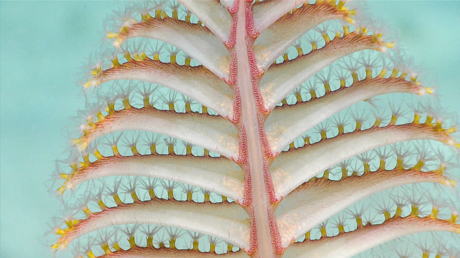
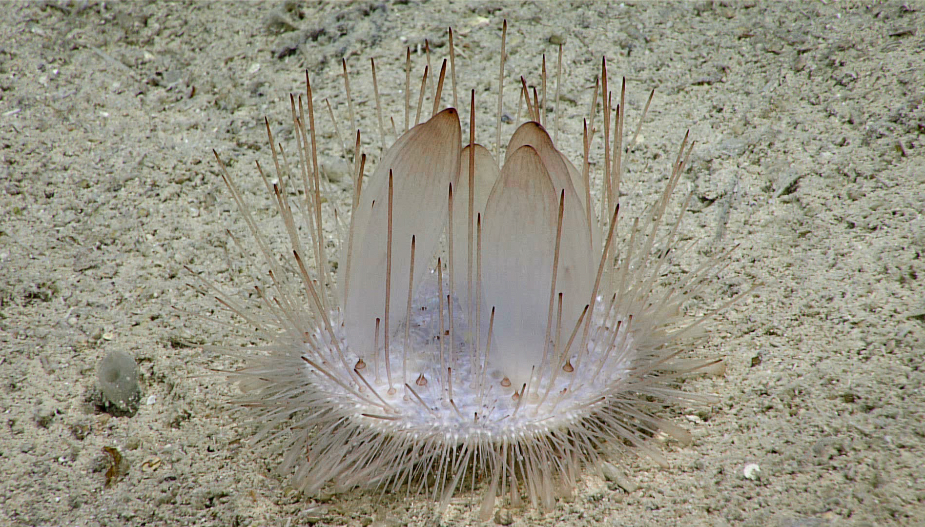
This sea pen was seen during Dive 2 of the Océanos Profundo 2018 expedition. Image courtesy of the NOAA Office of Ocean Exploration and Research, Exploring Deep-sea Habitats off Puerto Rico and the U.S. Virgin Islands. Download larger version (jpg, 1.2 MB).
-
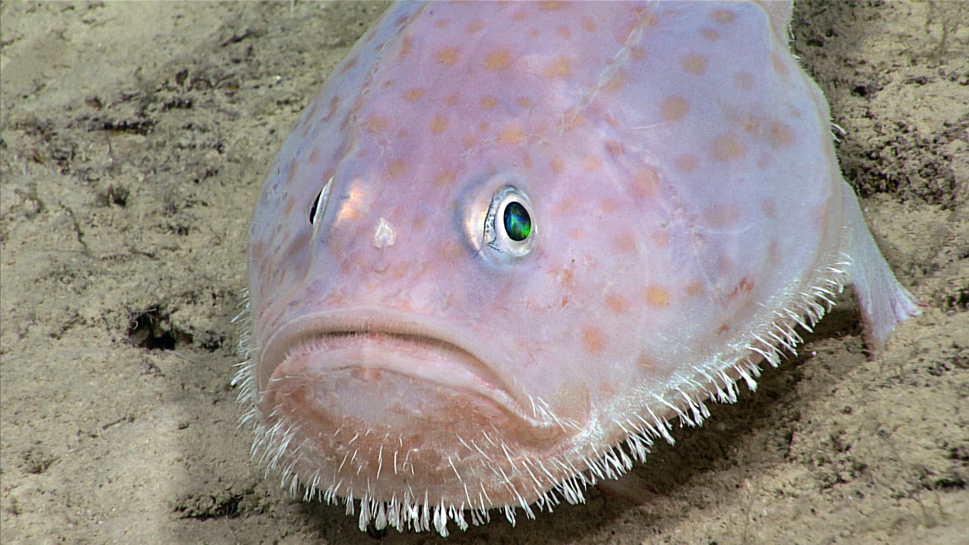
 imaged during dive 2 of the Océanos Profundo 2018 expedition.")
Toadfish (Chaunax sp.) imaged during Dive 2 of the Océanos Profundo 2018 expedition. Image courtesy of the NOAA Office of Ocean Exploration and Research, Exploring Deep-sea Habitats off Puerto Rico and the U.S. Virgin Islands. Download larger version (jpg, 1.2 MB).
-
 imaged during Dive 2 of the Océanos Profundo 2018 expedition.")
Pancake urchin (Phormosoma sp.) imaged during Dive 2 of the Océanos Profundo 2018 expedition. Image courtesy of the NOAA Office of Ocean Exploration and Research, Exploring Deep-sea Habitats off Puerto Rico and the U.S. Virgin Islands. Download larger version (jpg, 1.8 MB).

