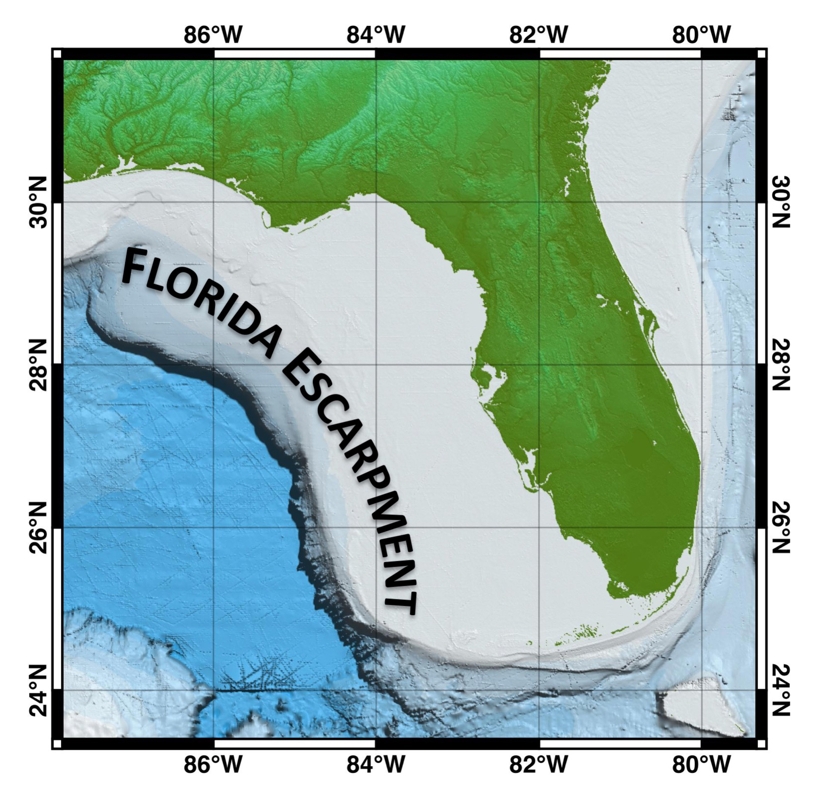
Florida Escarpment
Image courtesy of the NOAA Office of Ocean Exploration and Research, Gulf of Mexico 2017.
A bathymetric map of the eastern Gulf of Mexico showing the length of the Florida Escarpment from De Soto Canyon to the Florida Keys. Note the extent of the shallow Florida Platform surrounding the Florida Peninsula.
Download larger version (jpg, 1.3 MB).
