-
 equipment away after deploying an XBT. XBTs are launched every ~2-6 hours to acquire temperature data of the water column down to 760 meters (2,493 feet). These data are used to estimate water column refraction required for multibeam sonar data.")
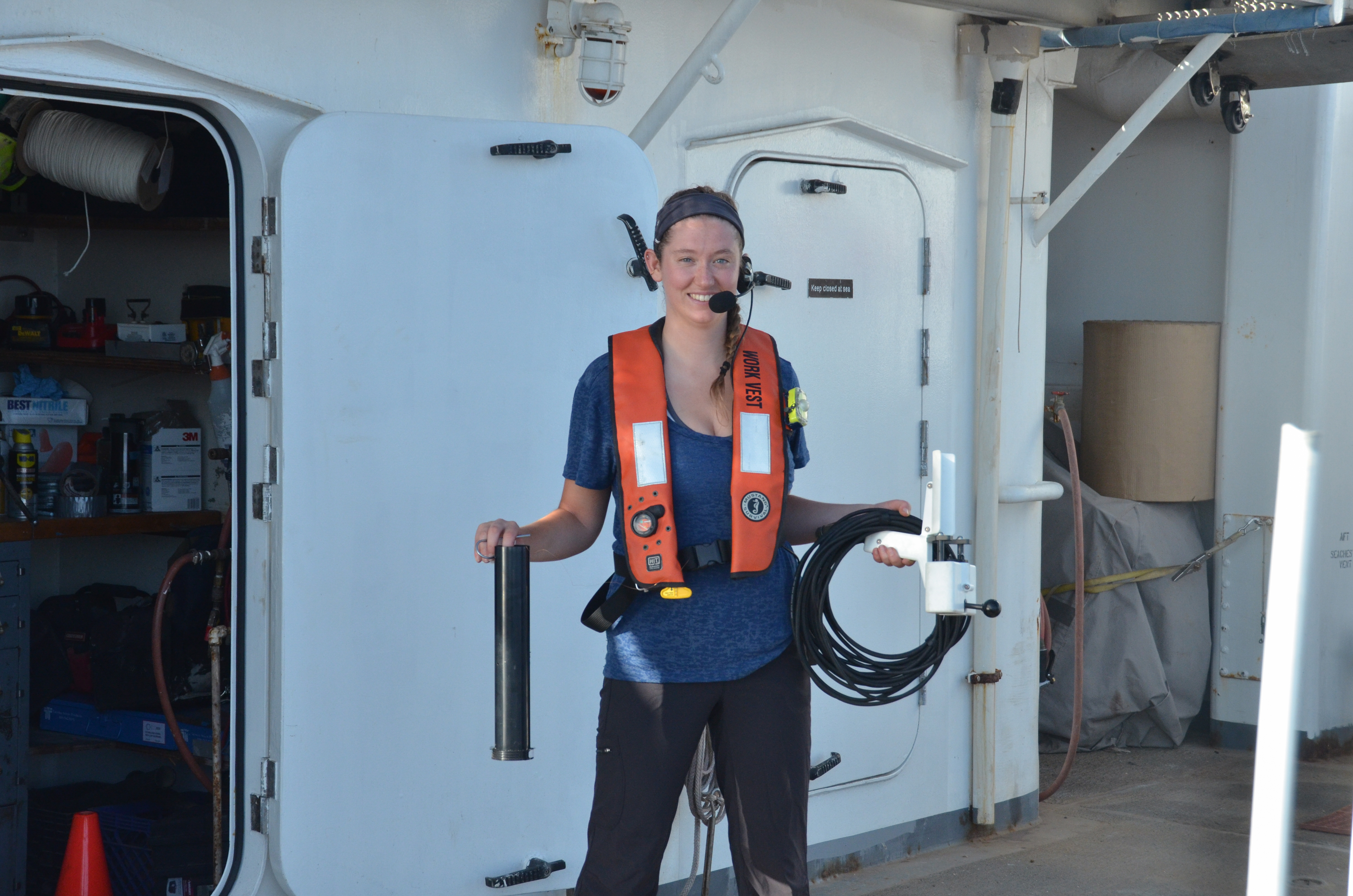
Mapping Watchstander, Neah Baechler, prepares to put the expendable bathythermograph (XBT) equipment away after deploying an XBT. XBTs are launched every ~2-6 hours to acquire temperature data of the water column down to 760 meters (2,493 feet). These data are used to estimate water column refraction required for multibeam sonar data. Image courtesy of the NOAA Office of Ocean Exploration and Research, 2017 Laulima O Ka Moana. Download larger version (jpg, 7.3 MB).
-

Expedition Mapping Lead, Mashkoor Malik, works on planning the mapping lines the ship will run today since the weather is too poor to dive. Behind him, Survey Technician Charlie Wilkins edits recently acquired multibeam data. Image courtesy of the NOAA Office of Ocean Exploration and Research, 2017 Laulima O Ka Moana. Download larger version (jpg, 8.9 MB).